VerdantLearn
Module 1 assignment: Introduction to GIS/QGIS
GIS
Phil.kika
(Ehiedu Philomina Kika )
6 July 2021 11:12
558
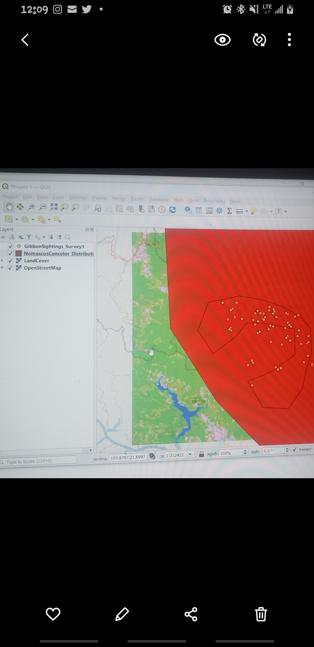
I enjoyed this first module because it helped me to refresh my memory on map production.
Screenshot_20210706-120955_Gallery
1080×2220 183 KB
1 Like
Adding OpenStreetMap
show post in topic