
I found the first module of this course easy to follow and provided a good starting point for how to import files and organize data layers. While I didn’t have any problems with this first module I look forward to learning more complex uses for QGIS
Nice job! I agree adjusting the transparency of the distribution makes the map as a whole much more useful!
1 Like
thank you so much. i just did it.

How did you adjust the transparency on QGIS? It looks really nice when transparency is applied.
For Vector layers, the transparency option is found in the layer “symbology” tab under the heading “Layer Rendering” (towards the bottom of the window where you select your symbology style).
For Raster layers, there is a specific “Transparency” tab under the layers / Properties window.
hope this helps
Cheers
Jonathan
1 Like
Yes the instructions were quite easy to follow and I thoroughly enjoyed every bit of it… Yours looks really good 

This module was very easy to follow through. And I didn’t have aby challenges.
I do have a question please: How to I generate the data I export to QGIS… I have no clue. Thanks for your anticipated responses.
Nice job! Can you perhaps make the distribution more transparent?
@EKOLE
You’re almost there. I see you only have a couple of steps to complete the exercise, but you’re definitely on course. Keep it going!!!
Hi Joe,
You’ve probably answered this question, but I was wondering how you got your layers to become transparent.
Thanks

I found this first module exciting and the instructions clear and easy to follow.
I didn’t encounter any challenges in the main exercise itself.
However I struggled a bit to locate where to post my reply for the module assignment.
Hi Linda! Thank you for the kind comment. I see that Jonathan already replied to your question. I also added a second landcover layer on top of the distribution layer and adjusted the transparency of the second landcover layer so that it popped a bit more.
1 Like

Catching up on the last three weeks of this course. It’s very simple and easy to follow, looking forward to applying these skills to my own datasets, and also learning more about what the different files etc mean.
Useful to see how others have done this and made me think to play around with the transparency settings - Thanks!
Great map! Well done 

The module was fairly easy to understand. I was given the idea of the definition and the uses of the GIS and the QGIS software itself. The instructions was clear and I was able to do the step-by-step process of the GIS project using the spatial data provided in the modules and through the layering of the different files given. Hopefully in due time, I would be able to integrate my learnings on my future research projects on species distribution. So far, I haven’t encountered any problems with the modules and the software.
2 Likes
Hello there,
Your work looks good and looks like you are almost there! I suggest uploading your streetmap and fix the layers according to the order given in the module. Other than that everything is well. Keep it up!
1 Like
Hello Everyone!
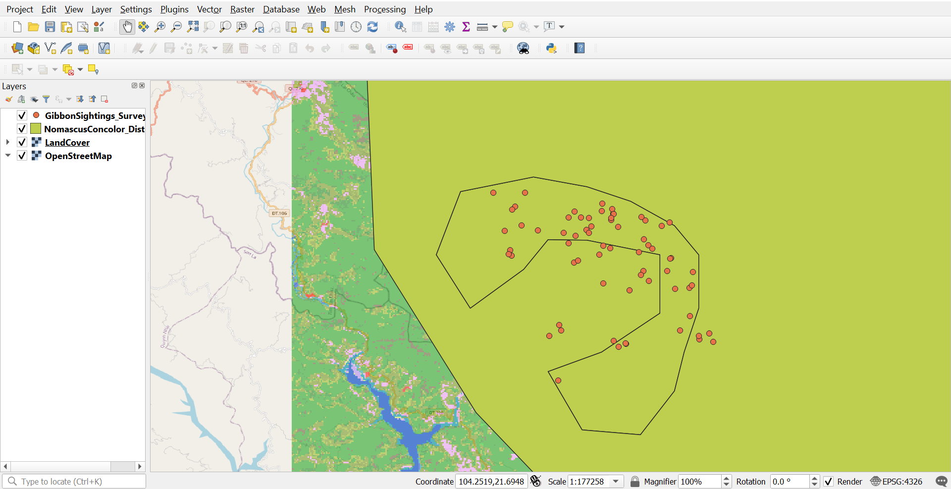
I am done with the module 1, and as of now I felt very good since I’ve done something really interesting. the module instruction was good and I really recommend to others that we must really need to read and internalize the instruction, so that it will fast and convenient. And for the problems or errors for this work, I encountered since my laptop keeps on logging. That’s all for this module and I hope you find my work good.
Thank youuuu!!!
2 Likes
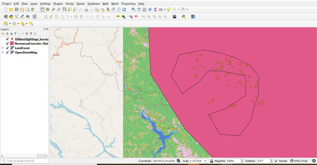
I’m glad that I have easily done the first module. You have only to read and follow the instruction and you can get the result of this activity. This has given me a better understanding of how layers operate and how they may be modified in preparation for the work I’ll be conducting using GPS traces.
4 Likes