i think you should check the folder where downloads are.
Your map looks great…well done
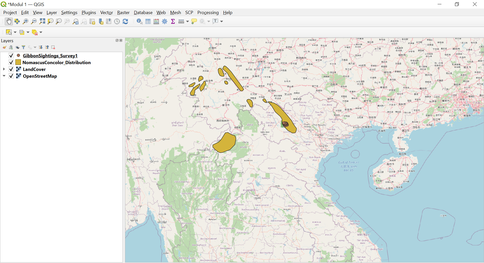
Learning QGIS is very easy with the help of a simple and easy-to-understand module. So far I haven’t had much trouble, just a little slow in getting used to the map navigation bar, especially the zoom out icon. But as long as so good.
hi Dessiew, your worksheet is good, but to make it easier to see all the data I think it’s good if the order of the data in the layer begins with the data points, lines, polygons, and then draws a map. indeed there are times when we forget to set the order of the data in the layer, including me too. I hope it will be better in the future. 
Hi,
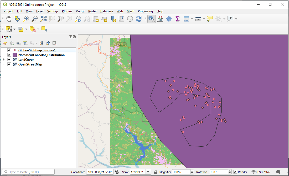
After missing out on the first week, the last 3 hours was very exciting for me. Its my first time learning, and was like a kid with new toy, over the moon. Thanks or this wonderful opportunity to learn and expand on knowledge. I am aiming to use the software for my PhD project, sampling blood from rodents in selected sites of the Kruger National Park. I now imagine my thesis having a proper map for presenting data.
Thank you very much.
Thanks Jess!!
Yes, the names next to each color are each subspecies name. It auto-populated the names and colors when I selected subspecies from the dropdown and then selected “classify”.
I think a legend would be a great idea to add in to a final map if you were using different colors to represent different things. I’m just a beginner, so I don’t know how to go about doing this yet. I might try to do some searching online to see if I can figure it out. If I find anything I will let you know!
@emmamay good job ! you can also zoom the image using the mouse wheel.
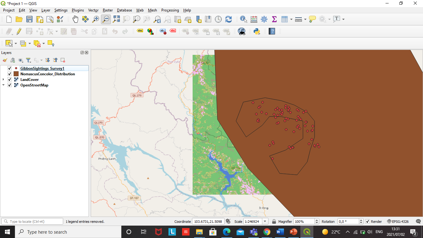
I enjoyed doing Module 1 the instructions were simple and straightforward. The difficulty I faced was when my Land Cover was not visible or hidden by OpenstreetMap but then I revisited instruction then problem solved.
1 Like
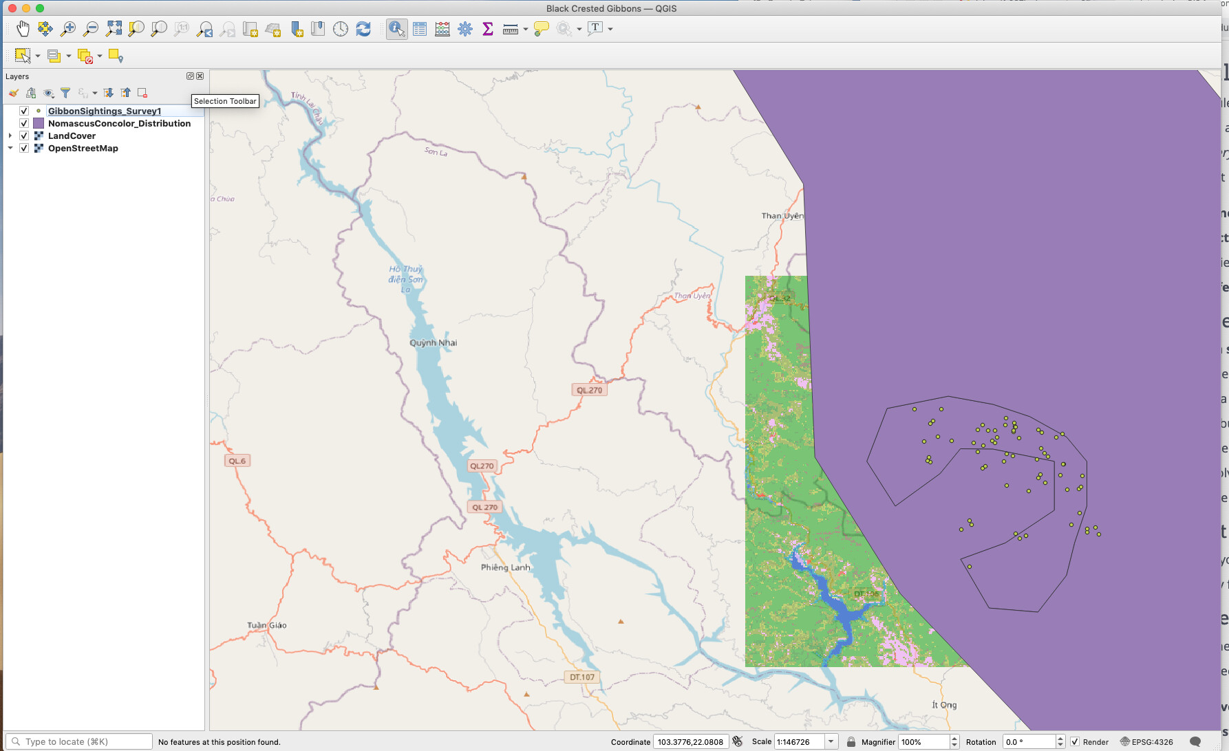
Hi everyone. Sorry I’m very behind as I have a 5 month old keeping me very busy! Please find my map attached. I’ve very much enjoyed this introductory module. It was very easy to follow and enjoyable. My project won’t let me save for some reason and it says 'unable to save auxiliary storage (cannot open/private/var/folders/mk/
@LouM A typical problem when trying to save files for the first time is that you may be trying to save them to a “read only” folder. Have a check on the folder location you are trying to save to, first off, it will default to the laptop folder where QGIS is installed which is generally “read only” (except via software install).
Choose a folder in your ‘user directory’ (the place where you normally save your documents) and it should work ok.
Patience is indeed a virtue. I also have to go back and see the instructions before I could proceed to what’s next. In this module I have learned that your attitude affects what you are doing because if I easily get pissed off on working on this task, I wouldn’t be able to have my output. God bless us all!
1 Like
@Ler,
I feel your joy. Instructions are really easy to follow, and quite easy or beginners like us to get our way through the system.
Looking forward to learn more

1 Like
Thanks Jonathan, I’ve tried to save to Dropbox, my documents and my desktop and it’s saying the same :(. Not sure what I’ve done wrong
Hi Buhle. Our projects look very similar so hopefully we have done it correctly! Well done
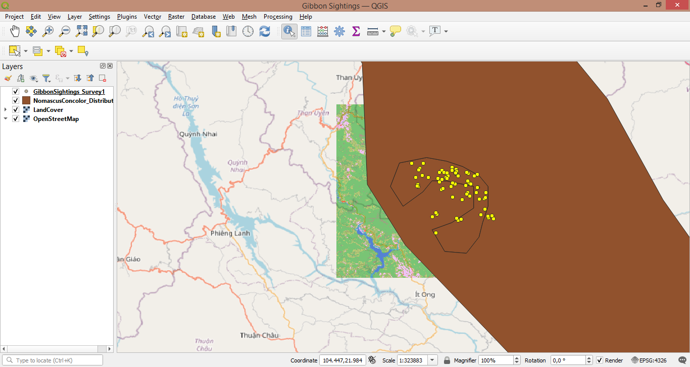
The module really helped me understand the theory behind the basic features of QGIS, and I now have a better understanding thank you.
I did not encounter any problems, the instructions were very clear.
Well done on your first try .
Thank you for this comment Jonathan. It is very informative.
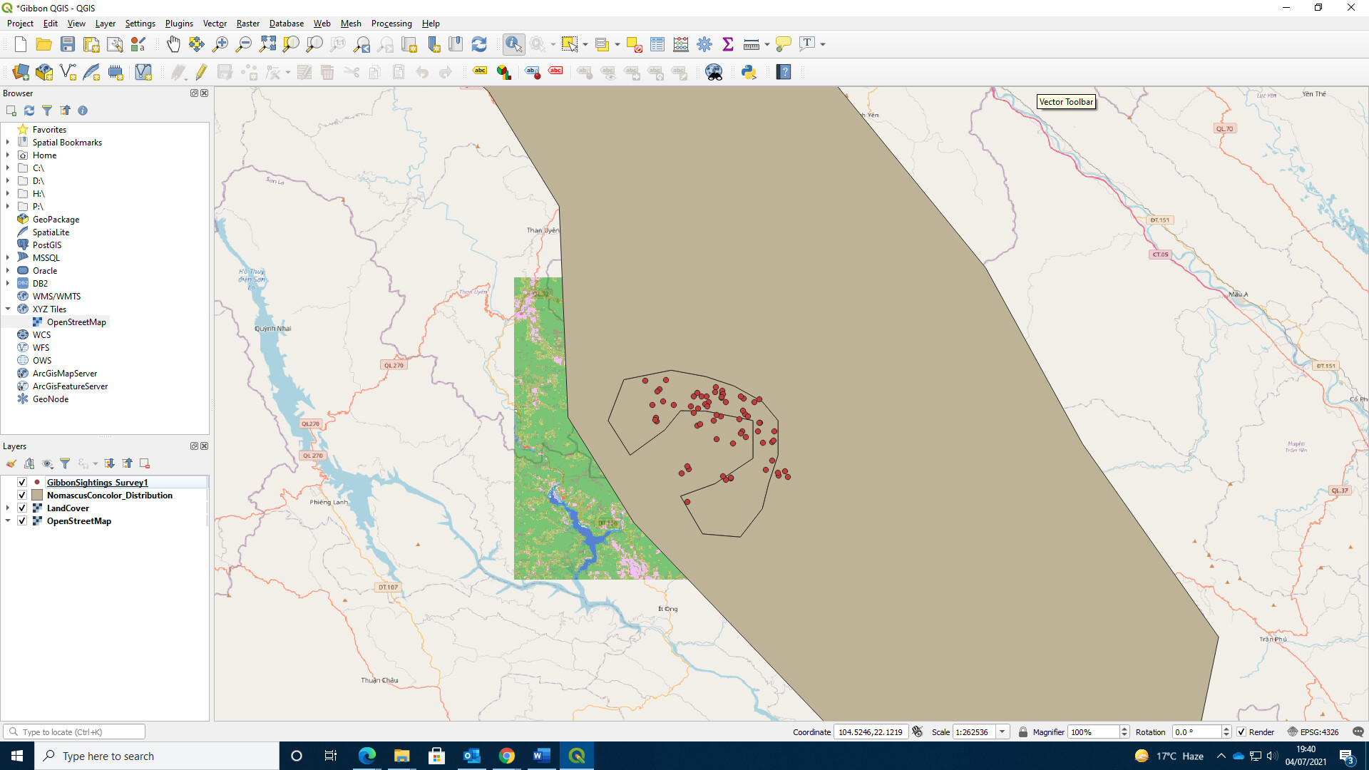
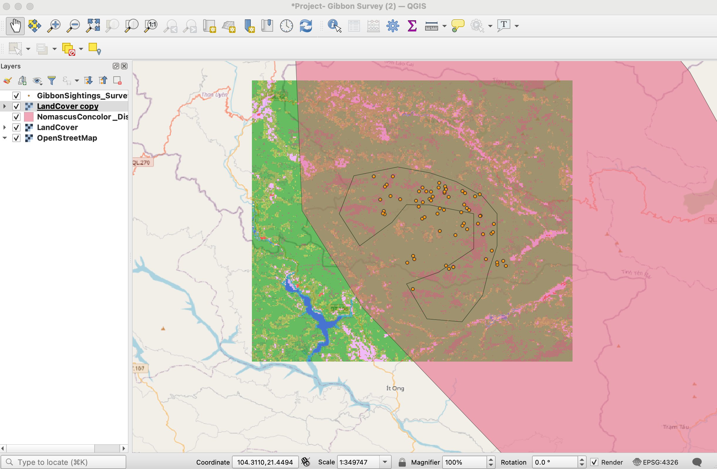
Hi Everyone! So far, the instructions have been super simple to follow. I enjoyed working with the provided gibbon data. I followed the instructions to add the gibbon distribution and sighting information files to my QGIS project. After adding the landcover and base map layers, I took it a step further and added an additional land cover layer and adjusted the transparency of both the distribution layer and additional landcover layer. I personally needed to make these adjustments so the map made more sense to me and was aesthetically more appealing. My goal for this course is to become more familiar with QGIS. I feel that by making the additional adjustments I was able to work more within the program and become more familiar with some of the features.
1 Like
Well done! I too found this module really helpful when just starting out with QGIS.
1 Like