@mama_lor So you have managed to get quite a few layers into QGIS already. Which layer is it you are having difficulty adding ?
Re-doing it has seem to help, your map looks so much better
This module went into more detail about Vector and Raster data and was really helpful in distinguishing he two. While taking the Raster Layer quiz I noticed that I had trouble distinguishing between Quantities and Thermatic Raster values so I may need to review those again. Looking at the other maps I think I might have left out some layers but I’m not sure.
I also enjoyed the quizzes as well, I thought I understood the differences between raster values quantities and thermatic but the quiz proved that was false lol
Wow how did you do that your work looks amazing! The Cleanliness really appealing!
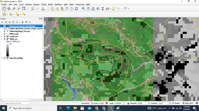
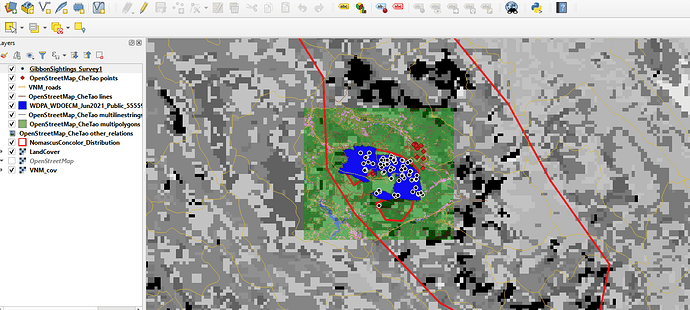
Oh wow, thank you, I wasn’t even sure of it, but what I did was to carefully turn all the layers and added them one at a time, so I removed any other layer not useful to me.
Secondly, I moved all my rasters down to enable me show off the important information (vectors) I want them to see.
Lastly I worked on the colors to reduce the contrast and to highlight only the important features.
Looks fine, I also struggled at first but later on, I was able to understand. Maybe you could have changed the color of Namascusconcolor distribution layer so that the raster layer could be visible
Hi Linda,
Thanks for your kind words.
I shall not give up! 
Pang
hey your work looks great  congrats
I like the categorisation by number, that’s very useful. I’ll try to work out how you did that, as I think it is a very useful way to visualise certain data.
Hy Clara. It really did!! Thank you so much  .
.
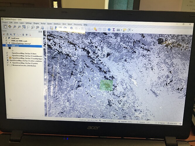
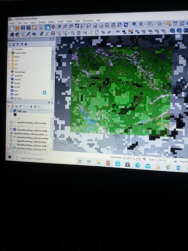
Anyone please help me, I have been trying but i keep on doing the wrong thing. my work doesnt look normal
I feel like this module was a bit of a disaster for me, partly due to my lack of time over the last few weeks, trying to fit this in, in my ‘free’ time. I think my layers panel is a bit of a mess, and i’m not quite sure that i managed to import all right layers. There is alot of files with long names. I think doing GIS on a laptop is quite difficult, two screens would be better. Anyhow, I do want to complete this course and learn and there for i have a lot to do.
Hi Seneiya,
Thanks a lot. Let me try what you have said.
My time management skills really didn’t do me much justice this time but here is my submission (finally).
this module really helped me get through understanding raster and vector data as well as how to use them in what kind of situation. I also learnt a great deal about uncertainty, which was something we didn’t really get into at uni, so that was great. In future studies i"ll be sure to consider it.
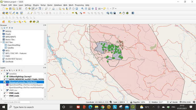
The instructions for the module were a little vague, but i got through them. Also the sequence of my layers, I am not completely confident about. I tried to layer them so each layer could be visible but advice in that regard would be highly appreciated …please, and thank you 
Overall, I am slowly getting my groove on GIS!
Hi, I’m also camping here for those suggestions 
You did great! Also you are not alone, some of us are confused too  Let’s keep at it though
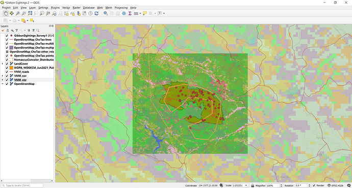
This is my screenshot after completing module 2. I will say I did have an issue uploading the VNM_cov.qml file onto GIS. It kept saying invalid data source or something to that effect. If anyone knows how to resolve that I’d be really grateful 
Overall I liked this module a lot because it’s my first time learning about vector vs. raster data. I think the course did a good job at explaining the differences between the two and why they are both useful depending on the context of your data. I can definitely see myself getting more comfortable with the program as time goes on, I still second guess a lot of my choices but I’m happy with the way my image turned out (so far).
