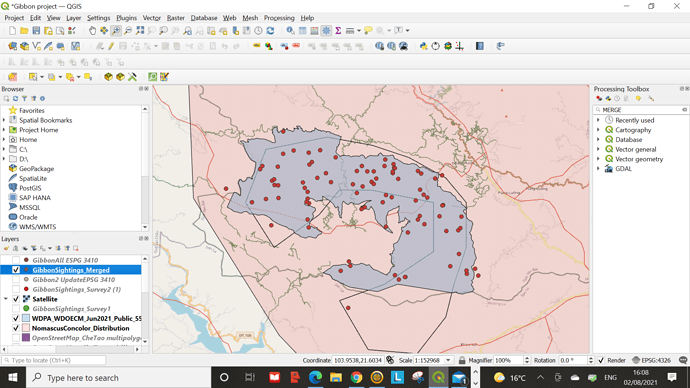
@luis_r97 yes I also need to go back and learn about merging and re-projecting BUT this was the coolest module so far.
I found this module very useful in terms of understanding the background to SRS, why we use them, that the shape of earth is not perfect so that makes mapping complicated. It also opens up a whole can of worms of how much of the background you need to understand to be competent at GIS. I feel like the more i learn, the less i know. Between referencing systems, how data is collecting, and the different files that data can be stored and transferred as.
Thank you so much… I will…
Vert true… Practice makes perfect.
I think you’ve done a great job so far! Clearly you’ve mastered adding layers and visualizing them. I came across my own struggles while doing the assignments, but I noticed it wasn’t necessary to completely master a module before moving on to the next. I think you should definitely give module 4 a try, I think you’ll do a lot better than you think! Good luck 
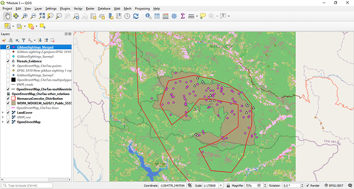
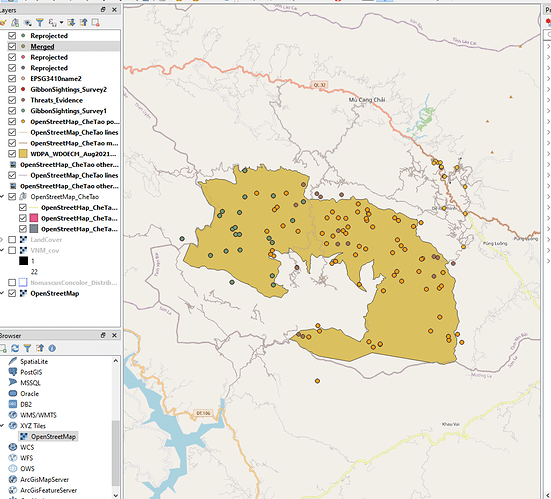
This module really helped clarify a lot of the different terms associated with using GIS and I finally feel a bit more comfortable in the GIS world. I followed the instructions easily enough and hope that I can do the same when it comes to mapping my own work. On my map I decided to display the merged layer with the threats layer.
I really like the look of your map! It shows a lot of layers while still managing to look clear and uncluttered, something I cant seem to do myself! I also feel as though I got the basics for this module but that another practice example would really help!
Nice touch regarding the threat symbol!
@Nicwill yes indeed ! - GIS isnt just about learning to use a new bit of software, its about understanding Geography and the context this brings to any project. I have been using GIS for over 30 years and I am still learning new aspects of it everyday  .
.
If ever you want any specific help on any aspect of GIS (or Geography!) then let me know - you can always contact me on jongatward@ntlworld.com.
Hellow.
Here in for the second time revising and practice again since i had no enough time to concentrate with this course thus why i found it very difficult to cope with.
Now i am able to identify different epsg and how to project them.how to create files
You help without any cost in return.or its just free help?
@Sulemani - Hi , If its just a quick query I can help with via email then I am happy to do that for free, but if its more involved and requires a zoom call, then I can do this on a 1/2 hour or 1 hour basis at a pro-rata cost of £30 (British Pounds) per hour. My direct email is jongatward@ntlworld.com.
Cheers Jonathan
Module 3 helped me move more towards my learning goal as I learnt how to transfer field data into QGIS using CSV files and how to make sense of them in QGIS. I can say that this was really insightful as I learnt about the different datum, SRS etc.
I hope this time I made this right. Can’t wait to finish the next module!
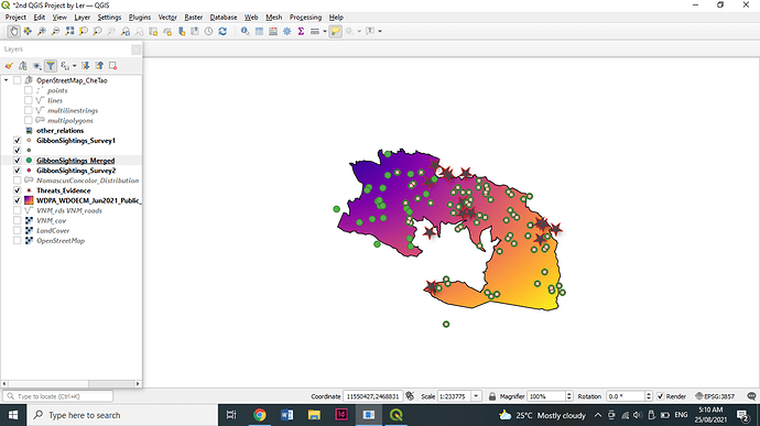
I like the look of your map. You did a good job! And yeah, you are right that this module really helped us clarify different and various terms associated with GIS.
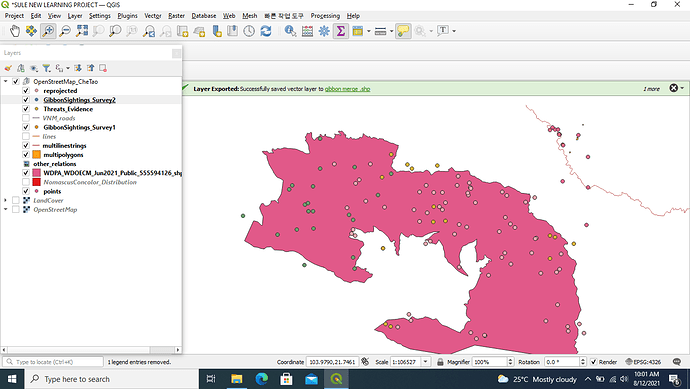
Hello, I am also here for the second time and yeah I can say that it was really difficult to cope up. I think maybe because I can’t focus too back then. I am happy to see you here and yes, I can see some improvements in your output.
I think I have a bit of a messy side-panel! I struggled to grasp this module a bit more, I’m hoping that this will make more sense when I start to use my own datasets (I may even run through this course again afterwards!). I do feel like I’m getting closer to being able to use GIS independently or at least know what to Google to help which is exciting!
This looks great, I think it’s a nice way of showing everything without much clutter from other layers. Always good to be able to compare it by adding the map layer too I think  And this has reminded me that it’s okay not to overcomplicate things!
Thats a very good interesting and hard working
