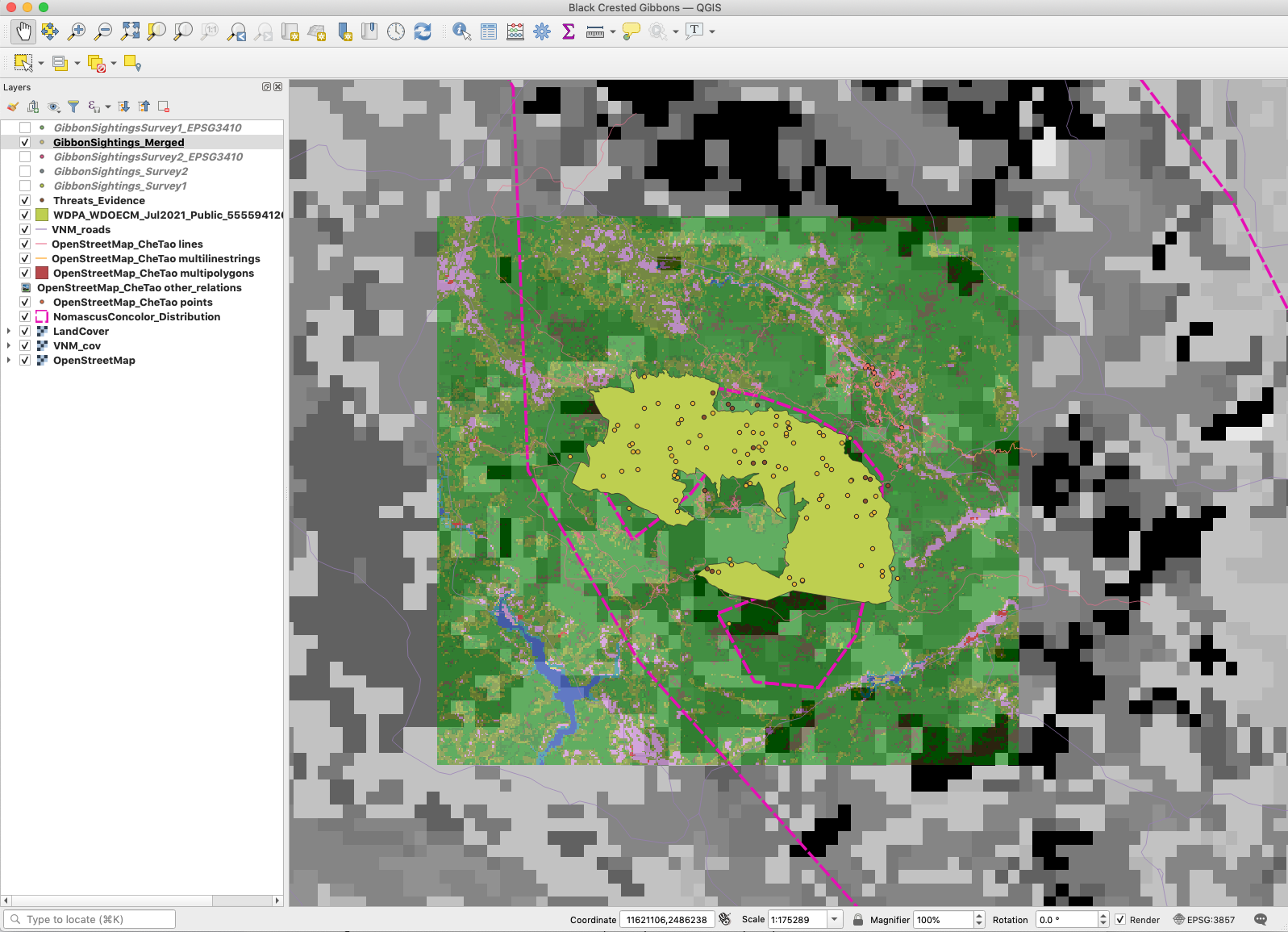
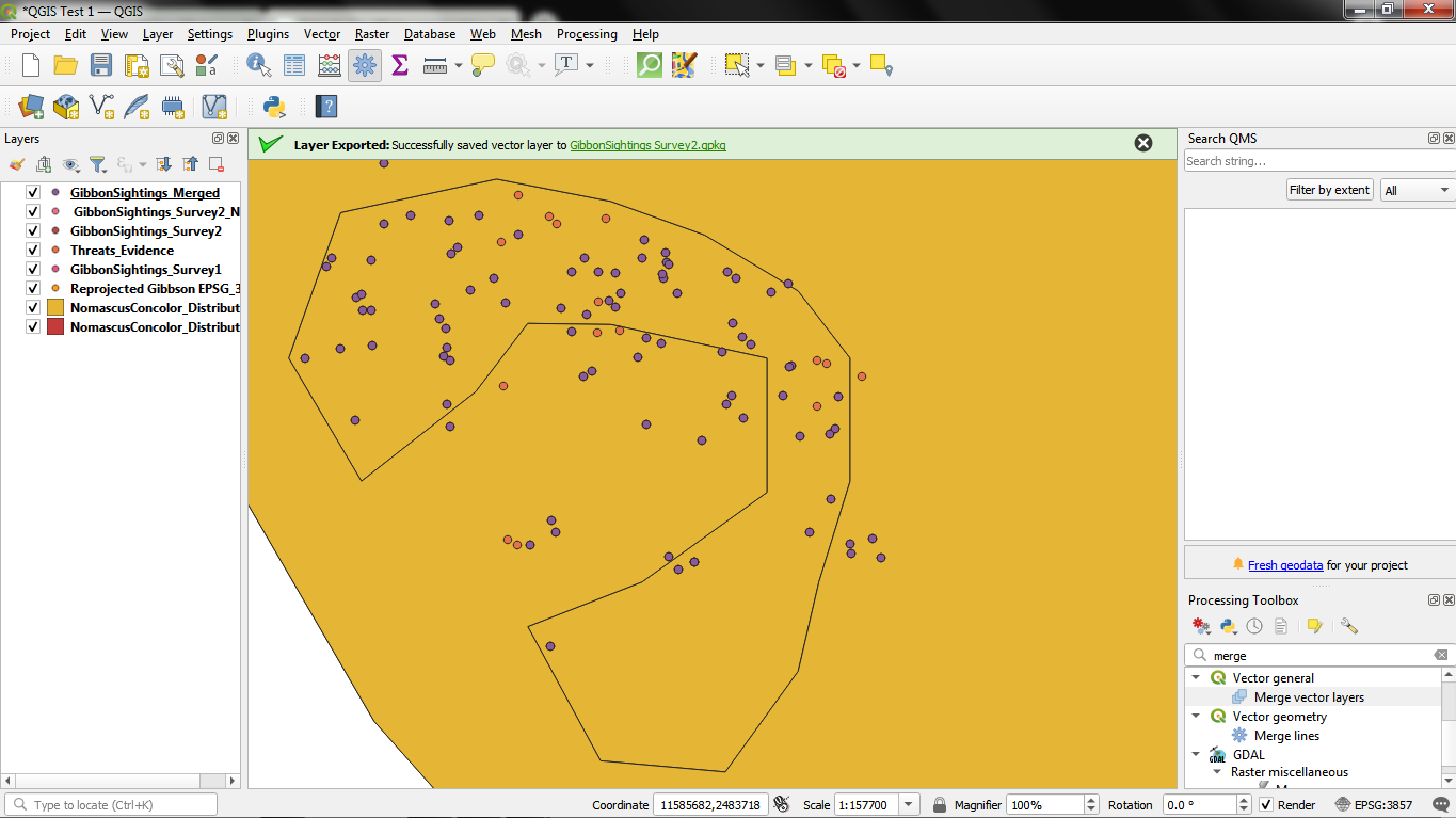
The starred threats was a great idea. I also like how you maintained the green landcover background . The sightings dots are a little hard to see though
and some projections are for certain regions. Tis important to note, especially if you are near the poles, where earth’s curvature is more pronounced.
This module has contributed to my learning goal by giving me a better understanding of the basis of, and theory behind, mapping and map models. I have enjoyed learning this background and feel it has increased my confidence using GIS. I have struggled on a couple of the tasks but I think it’s because I’m saving my project and files to dropbox and when I try to save, it defaults to another area. I have overcome this by clicking on the three dots when saving a new file e.g. when reprojecting.
Hi Zaynabou! I think your map looks really good, well done! I think you could perhaps make it a little clearer by re-ordering your layers 
1 Like
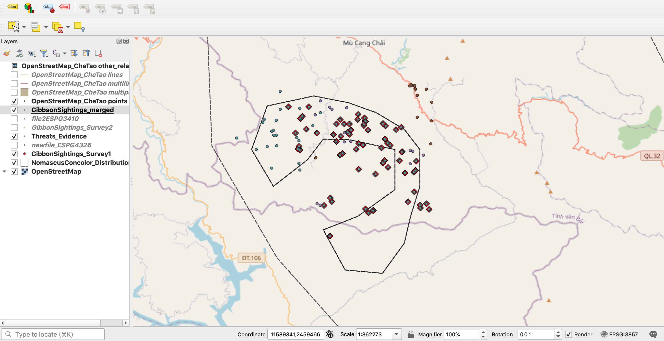
Hey! This is looking really really good. I like your use of different colours for the different sightings. My piece of advice would be to make things stand out a little better. You could make your site outline stronger and a more defined colour so the limits are easier to see. The survey points could also be made slightly bigger or more vibrant. This would just help a view differentiate between the points. Overall such good work. I have taken those same points into consideration from looking at your map and will keep in mind for future work.
this is beautiful excellent stuff
Looks like you’re doing well. I had some difficulty myself but stick with it, ask for help if you need it and sure you’ll be okay. Looks like all the info you need is there though.
Yes once you’ve merged the two layers you can hide the original ones. I like your map too, colours work well and seems very clear.
Wao! quite interesting i like the way you have used the land cover layer. its good looking and lively. I have to try this. otherwise u did a good job with points of good colors.
hi Elizabeth
i experienced the same problem as yours where threats appear on a different location. you can fix this by changing the crs of your project.
This module helped me understand that GIS data can come in many forms and the optimal SRS may be dependent on the region or who you are working for.
The only problem I encountered was when trying to export the files I had to click the “…” to the right and select the save pathway instead of just giving the file a name and pressing save.
Wow! What a beautiful map! I really love the topography. I’m also curious if you used a specific base map or achieved this another way?
thank you for sharing @JonathanGatward
Hi @JonathanGatward your map is really impressive, I would like to learn how you made this map.
Thanks & regards,
Rutuja
Hi all,
Here is my module 3 assignment. In this, I have merged Gibbon surveys 1 & 2, have reprojected all the visible layers to EGSG 3410.
@mstrawsine and @Rutuja_Bhatade
The key dataset for the background topographic mapping was a Digital Elevation Model (DEM) obtained via the USGS - Unitied States Geological Survey, who have DEM’s available for all over the world.
This was sumbolised with a continuous colour ramp based on height, but was also supplemented by the same DEM but using a “Hillshade” sybology underneath the actual DEM height shading.
The whole map was “clipped” using an inverted polygon shading so that the area “Outside” of the nature reserve polygon was shaded through from “transparent” near to the polygon boundary, to “solid white” further from the polygon boundary. Hope this helps in explaining how I created the map.
1 Like
I enjoyed learning about the map projections - the visuals in the lesson helped visualize them a lot better. Really valued the imagery! I was also always confused about geodetic datums and what they meant, and this lesson threw a lot of light on them and their significance.
The instructions didn’t seem to be in sync with what prompted on my mac so I struggled to figure out how to do this exercise on my laptop. The merging file step wasn’t possible. I think the zip file wasn’t able to be read even though I used a software to unzip the file. If anyone else faced a similar issue and figured out a solution, please let me know!
good work
i had some troubles to in others modules, so i restarted all the steps and read again the module, sometimes we forget a step, so when we repeat we practice more and discover mistakes
1 Like
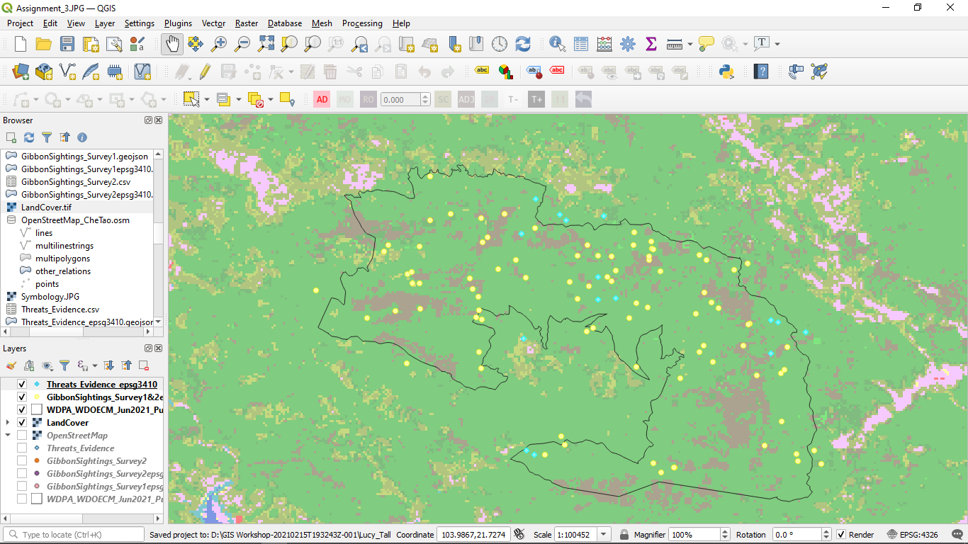
My data without the Land cover shape file.
I will do my maps after the course since I am terrible at GIS and would like some time to learn and pick up tips. However, it is really cool to see how important it is to choose the correct referencing stytem,
1 Like
The map looks really great! 