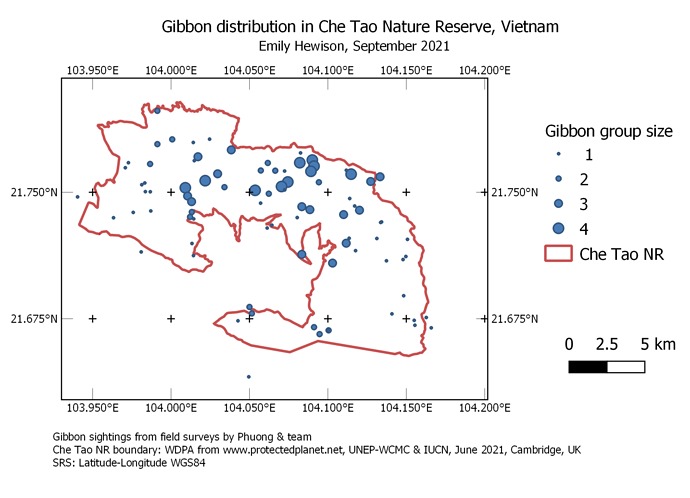
Wow, your work is so nice. You really did a great job. And I agree that the directions are easy to follow.
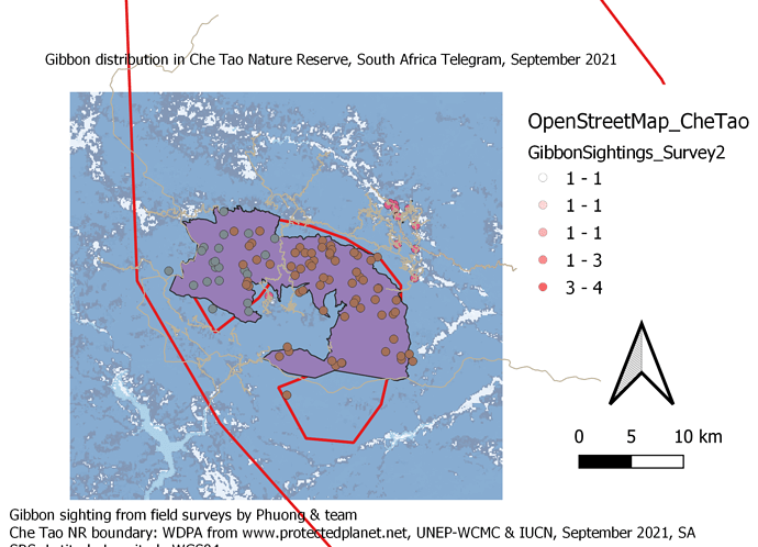
I did a mistake from assignment 2 but not adding some of data and not zooming in and out but correct it starting from assignment 2 adding Landover, roads, OpenStreetMap and doing all the steps and adding OpenStreetMap _CheTao
Great! I look forward to seeing your improved assignment here
The system it does not allow me to paste my assignment screenshoot. I will like to show you my work but the system not responding
I haven’t changed any of the settings, so it should still accept your work. Have you tried using the ‘Upload’ ![]() button (7th button from left above the writing area) for adding an image, instead of copy-pasting?
button (7th button from left above the writing area) for adding an image, instead of copy-pasting?
If it still doesn’t work, please email your assignment to me and I will upload it for your manually so there is still a public record of your work
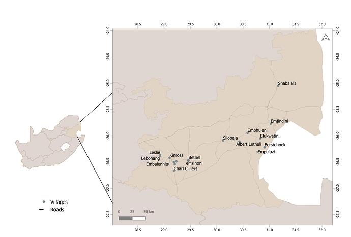
Really enjoyed this course. I couldn’t find the compass arrow button in the toolbar - does anyone have any suggestions for this?
I had a bit of trouble with making the map focus on the small area around the reserve but we got there in the end - just had to manually input coordinates so may be a bit wonky.
This looks great, well done  I wonder if it would help makes things clearer if you made the gibbon sightings points a little smaller so you could more easily see where different groups are sighted?
In QGIS Layout / Map Element Properties, there are icon options for;
- Set Map Extent to match main canvas extent
- View current map extent in main canvas
- Set map scale to match main canvas scale
- Set main canvas to match current map scale
using one of these options should easily help set your layout view to the area of the map you want to see, also there is the “Move Item Content” icon in the “Toolbox” toolbar of the Layout window which allows you to move and zoom in and out of the Map element on your layout.
If you would like further help with these, I can offer a one-to-one short tutorial for you for 30min or 1 hour to help guide you through some of these options if you like - jongatward@ntlworld.com.
Cheers Jonathan
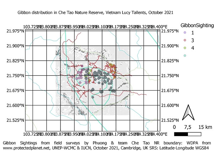
Hi @Telegram2 - well done for making some great improvements. However, you’re still lacking spatial reference information i.e. a grid or graticule showing lat-long or other coordinates
Ok thanks I will practice more on grid reference again and after that, how should I do? to show you my improvement or not as for now you wouldn’t grant me a budget for module 4 assignment
Hi Lucy do I still have a chance to get a certificate
If you have problems adding a grid over the map, check that the projection you are using for the grid is the same as you are using for the project (there are settings in the grid properties to set the CRS just as their is for the porject CRS)


