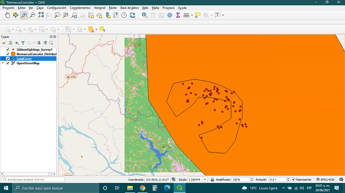
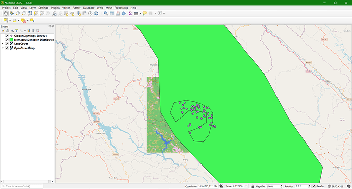
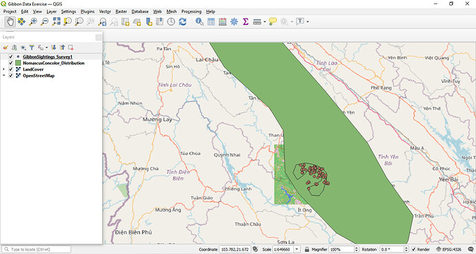
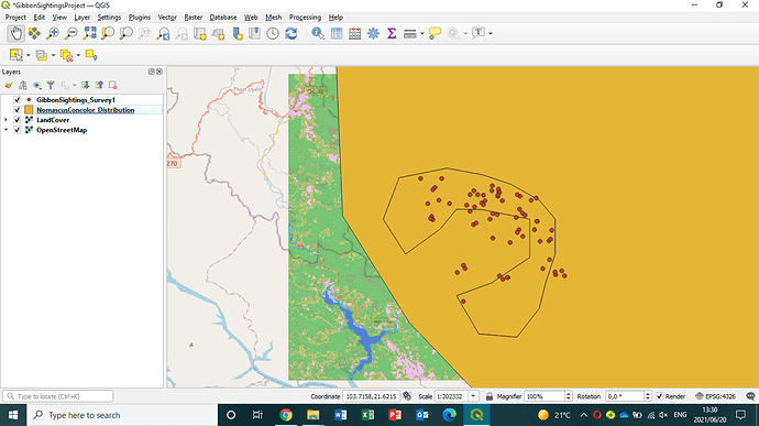
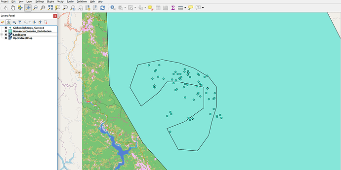
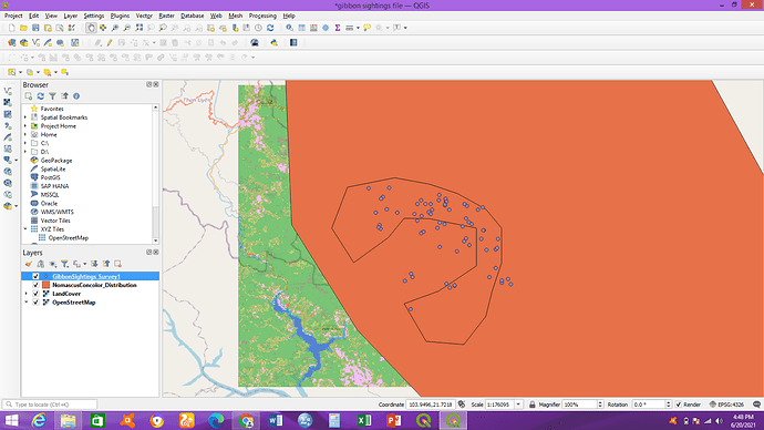
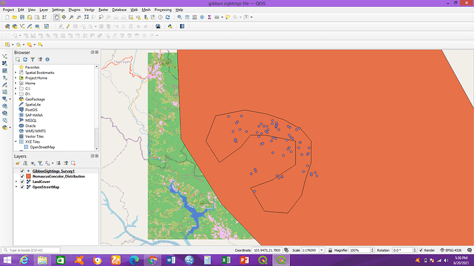
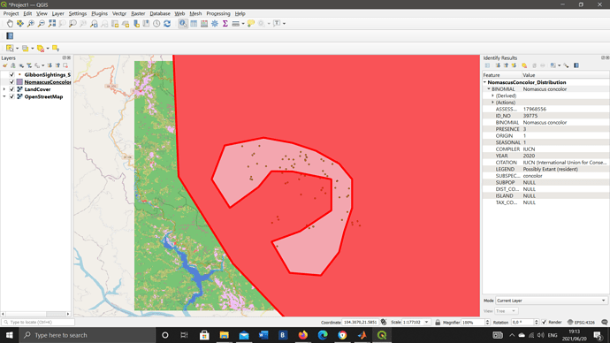
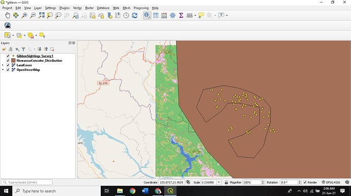
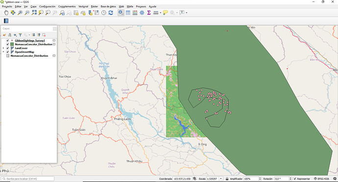
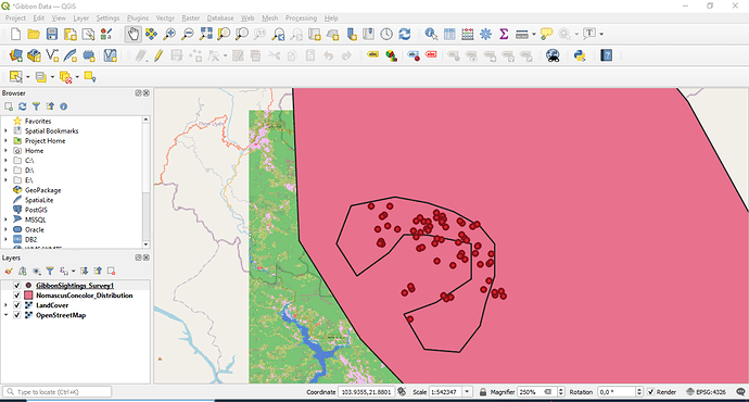
Hey, great job! I had an issue to where I had to remove and re-add. I find that to be something you have to do sometimes with most software! Map looks great 
I agree with you collegues, this excercise was very easy and the instructions were clear and easy to follow. Some time ago, i had the chance to take a little QGIS course, and this exercise was a review, but you always learn something new and in this ocasion i learned how to insert the XYZ layer (OpenStreetMap) but i really didn´t know. It´s great!
In other hand, i have high expectations of this course and i hope to learn a lot!
I think the step and the instruction is quite easy and clear to follow and press. This is the first time, I learn and get myself into QGIS this software, which is quite interesting. From what I think since now we just need to download the done gibbon sighting, land cover and open street map but if we have our own data it can be a challenge for me to learn how to do it.
HI Sulemani, hopeully the creation of your own GIS layers will be covered later in this course. An easy first step to creating yoru own data is to create an Excel spreadsheet (and save as a CSV file) which contains columns for your latitude and longitude of what ever it is you want to map. This can then be inported into QGIS to plot the locations of your data. You can also set up GIS layers for digitising your own linear features (such as roads) or polygons (such as animal territories). Do get in contact if you would like further hekp with this after the course completion.
Overall, I’m enjoying this learning process. It was easy to understand so far. The instructions are easy to follow and I’m still trying to get use to this software.
I did encounter a bit of a problem in extracting the files in the beginning. But thanks to my brother who studied IT, it was solved right away.
Great job you did there! The instructions are so clear and easy to follow as it’s easy to understand by anyone.
I have had some introduction to GIS before and found this module very refreshing. I do, however, want to ask when do you know what layer constitutes a vector or raster etc.
Thank you for your very interesting course.
Hello everyone, here’s mine
This course was very explanatory, I was able to follow through with the instructions. I had one challenge though, I would explain what it was and how I was able to solve it. My QGIS software is version 2.18.24, so as you know, the features might be slightly different. For example, when adding Open Street Map, my process was different as I did not have the “OpenXYZ Connection” in the Layer feature. Here’s how I solved it:
Google How to add Base map in QGIS version 2 software and follow the instructions to add the Plugin:
- From the main menu click Plugins → Manage and Install Plugins
- Start typing the name of the plugin “OpenLayers” in the SEARCH box and the list will be filtered
- OpenLayers should already be installed, as indicated by the checkbox being ticked.
- To install any plugin, click on the item in the list, then INSTALL PLUGIN button and CLOSE the Plugins window.
Once that is done, you must make sure the Projections are set properly.
From the main menu click Project > Project Properties
- Click on CRS tab on the left to see the Coordinate Reference System settings.
- Click the Enable ‘on the fly’ CRS transformation check box.
- Type “Pseudo” in the Filter box. From the results select the WGS 84 / Pseudo Mercator (Authority ID EPSG:3857), then click OK to save the changes
Viola! The OpenLayer plugin has been correctly installed and Open StreetMap" can be accessed from the “Web” feature where you can add the URL as already instructed in the course.
Hope this is useful to someone. Cheers!
Great job @Flamink9. welldone
Yes, I agree, the data presented helped me a lot too. Great job Elvia
Hello Ekole
Nice job - I would suggest you revisit the information regarding adding the land cover and base map to add to your project.
Almost there - Keep going!
Best of luck.
Lovely colour scheme - looks great!
I followed instructions given during the learning process. I also navigated and tried to understand what shows if l select a toolbar or panel. The activity was quite an eye opener, and interesting. However, l once got stuck when my street map covered the land-cover layer, wondered where it had disappeared to. Then l later realized that l had to rearrange the layers in the recommended order.
I followed instructions given during the learning process. I also navigated and tried to understand what shows if l select a toolbar or panel. The activity was quite an eye opener, and interesting. However, l once got stuck when my street map covered the land-cover layer, wondered where it had disappeared to. Then l later realized that l had to rearrange the layers in the recommended order. My apologies, had selected the wrong reply icon
Hi Mengistu. You did well on the layers there, but the street map is not showing, which requires to be included. If you click layer, go to add layer by moving cursor to the ‘add layer’ or click the add layer, then options will pop up on the immediate right, just go down on those options and you will see where it is showing “Add XYZ layer”.
Try to rearrange the layers in the recommended order, that is, point, polygon and then raster layer.
Am also seeing new icons on the screenshot, am eager to learn more and as much as possible. Which icon did you uncheck for those extras to show under the manage layers toolbar?
I found the instructions very clear and easy to follow. I’m looking forward to the next part of the project and learning to add labels etc.
very direct explanation and guide through the software. easy to understand and come out with this map. no problem faced.
It could be the reason. I had used qgis previously and had set up the XYZ tiles as well.
Hi everyone, I agree! this module was very easy to follow. I really enjoyed it as an introduction to GIS. I do have one question, I accidentally detached the layes panel and couldn’t attach it again. Does anyone know how to fix this?
Thanks!
