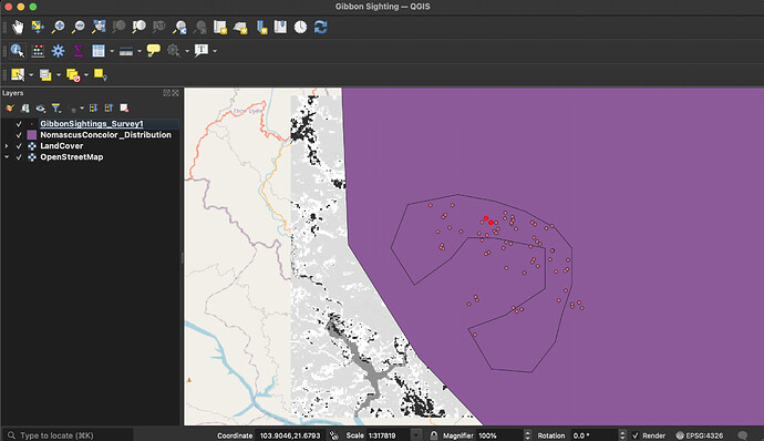
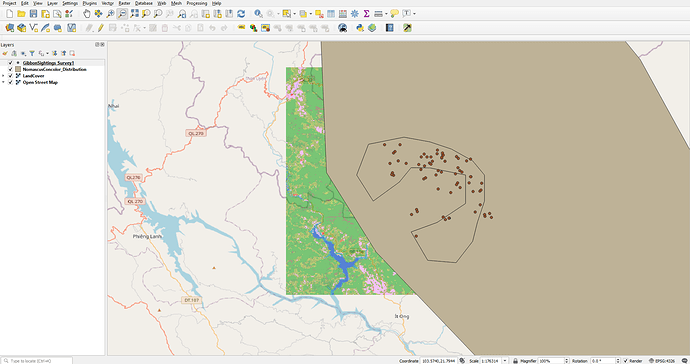
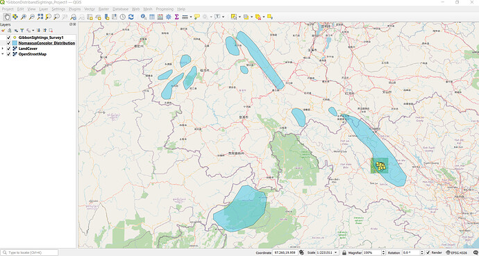
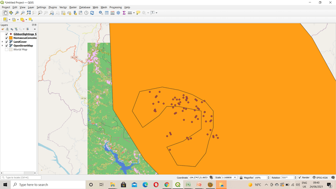
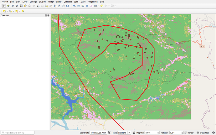
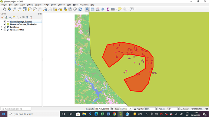
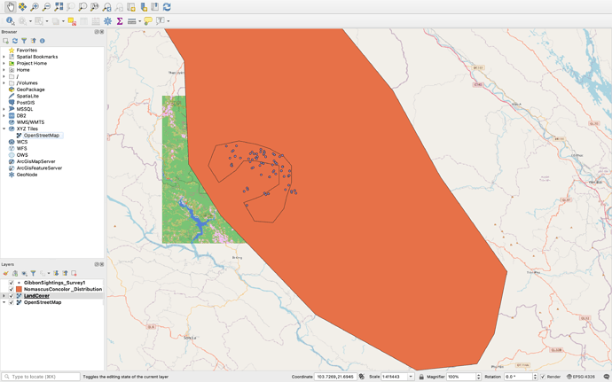
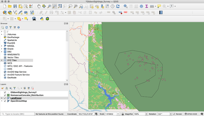
Thank you for the clear and concise directions. This was a good refresher and I look forward to what’s next. 
@JonathanGatward thank you for your comments and insights, always helpfulI. I get better understanding when I read them.
I have found this first assignment very helpful with the initial setting up of a project. I have used QGIS only briefly in the past so it is good to refresh my memory and I look forward to going into more detail in future assignments
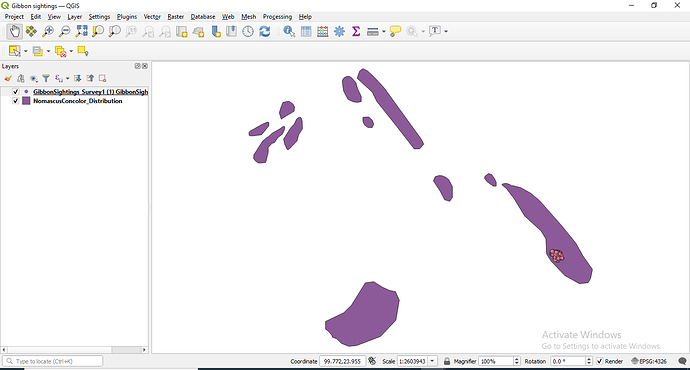
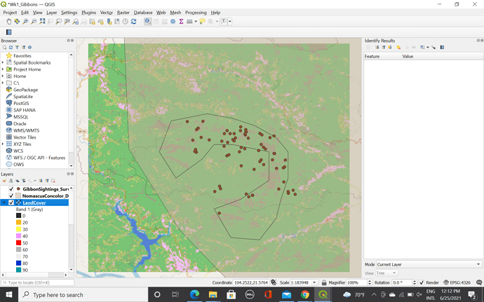
Thank you so much i managed to get everything right using the copy and paste method I’ll forward a screenshot just now
This was a great introduction to QGIS, it helped me refresh the little knowledge I had, was detailed enough to get comfortable with the interface, and the data provided really helped me understand the concept of using polygons, points, and layers in general. However, I ran into some issues when installing the software, apparently my computer was creating the folder in the wrong place and took me a few tries (and some help) to figure the problem out. So far, it’s been a great experience and I’m excited to see what comes next!
Hi! I really like the use of gradients in this case, I think that may be useful for many types of data and could help provide additional information in our maps. You’ve inspired me to play more with the settings and the display options.
Good job, Michelle 


the first lesson was easy to follow. i was caught up with work hence submitting late. looking forward to learning more as the weeks progress
i like your map. the best way to take a screenshot using pc (window button+alt+PrtScr)
after the first attempt and realizing a lot of errors,i went back and re-do the activity. thanks for assistance i got from the group.
The only trouble I found was that I couldn’t find the XYZ titles from the Add layer option on the Layer Menu. I activated the browser menu and found it there. Instructions were very easy to follow. Great work so far!
The module was easy to follow. I did not any problems following the instructions. Adding data to a new project and being able to manage layers is the first step towards performing more complex tasks related to geospatial data (data analysis).
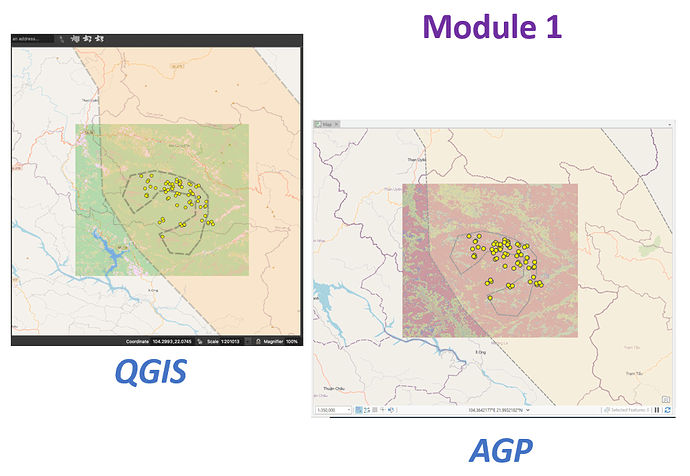
Here are screen captures from QGIS and ArcGIS Pro. One of my goals is to compare functionality between these tools. Another goal is to improve my knowledge of the open source methods as most of my experience is with esri products.  QGIS applied a random set of colors to the LandCover raster, which I did not attempt to exactly re-create in AGP. AGP also makes it easy to apply #openstreetmap data as the base map.
Transparency is a great trick!
Love the diagonal line fill! 
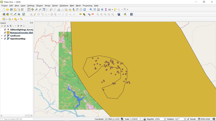
Thanks to pkeidel for inspiring me to try to make the second layer transparent for easier viewing. From learning GIS more than 10 years ago, but with little use within the past 10 years, the terms and basics for making a map have been refreshed in my mind.
Well “foggygoggles”, seems like you understood the first module very well. You hoping that we use our own data on the next module reflects how confident you are in what you’ve learnt in the first. Keep it up :star2 
Module one reminded me of how to add different types of spatial data layers onto a GIS software and how to overlay them in a convenient manner. The instructions were super easy to follow. It was a welcomed reminder as this is in-lines with my learning goals, which are to be reminded of how to use GIS software as well as to learn new things.
