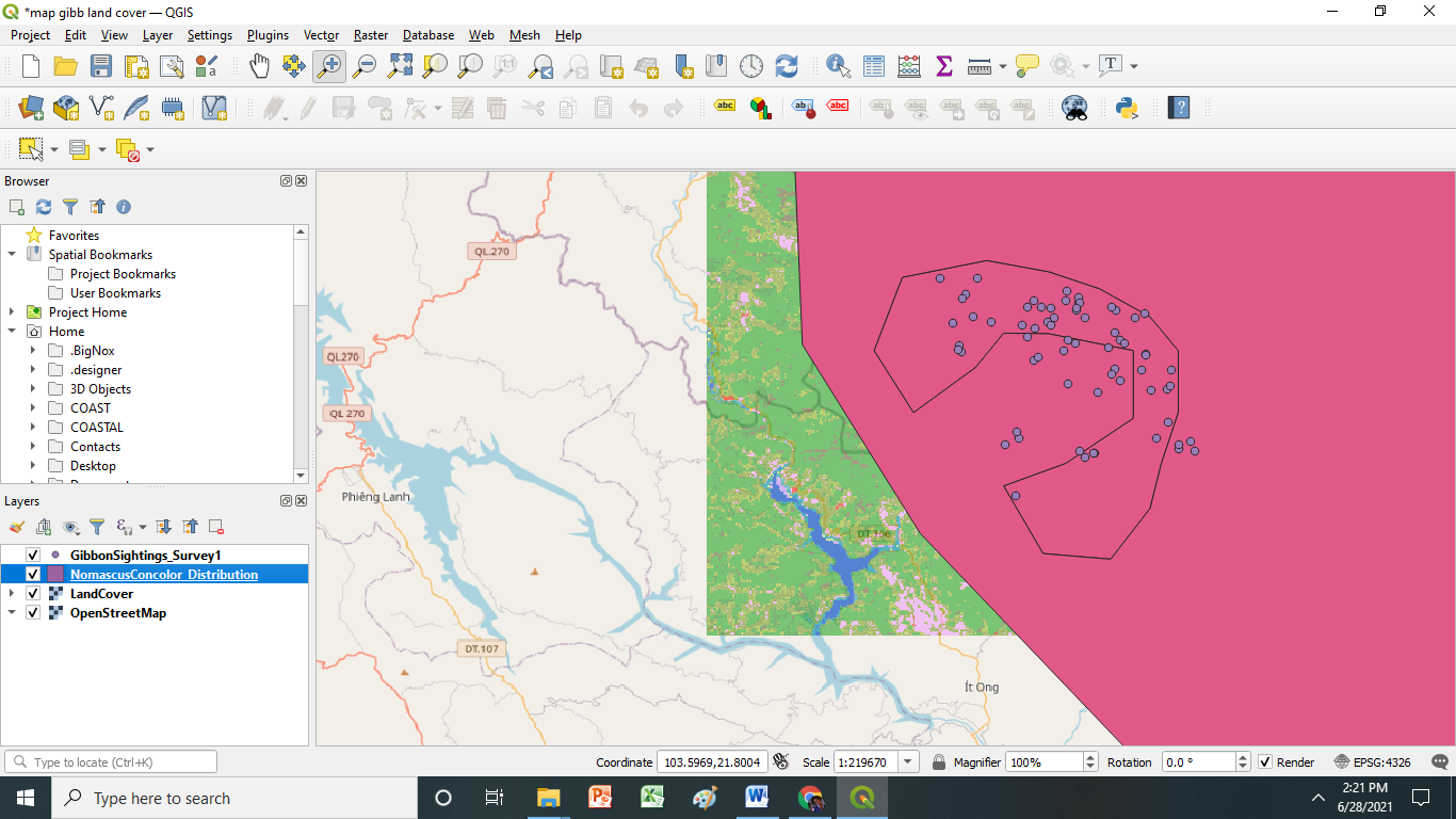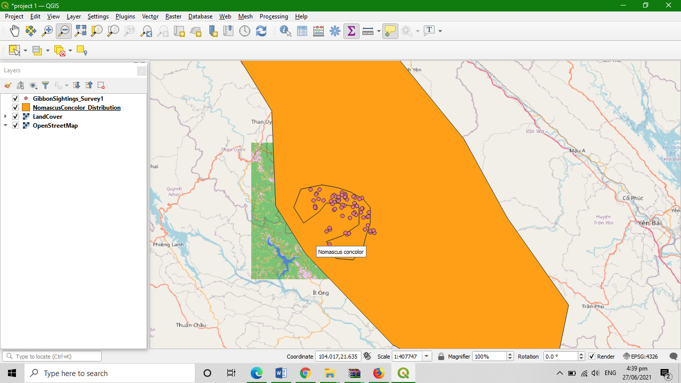
After encountering troubles on installing the software due to the internet connection Finally I am done on this module. I am proud to my that I made this. I enjoyed doing this activity. Also, thanks for a very clear instruction and steps that easy to be follow.
1 Like
Nice work Diana.
can you share how you make it transparent ?
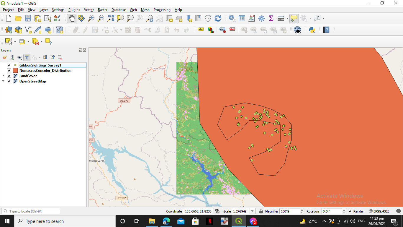
Hello, I am a newbie here .
This module really do test my patience to explore things within the software just to finish this task. I have experienced trouble with it, but I was so sure that I enjoyed the task and learn from it.
nice work grace. you did a good job
1 Like
thank you for the help mate

1 Like
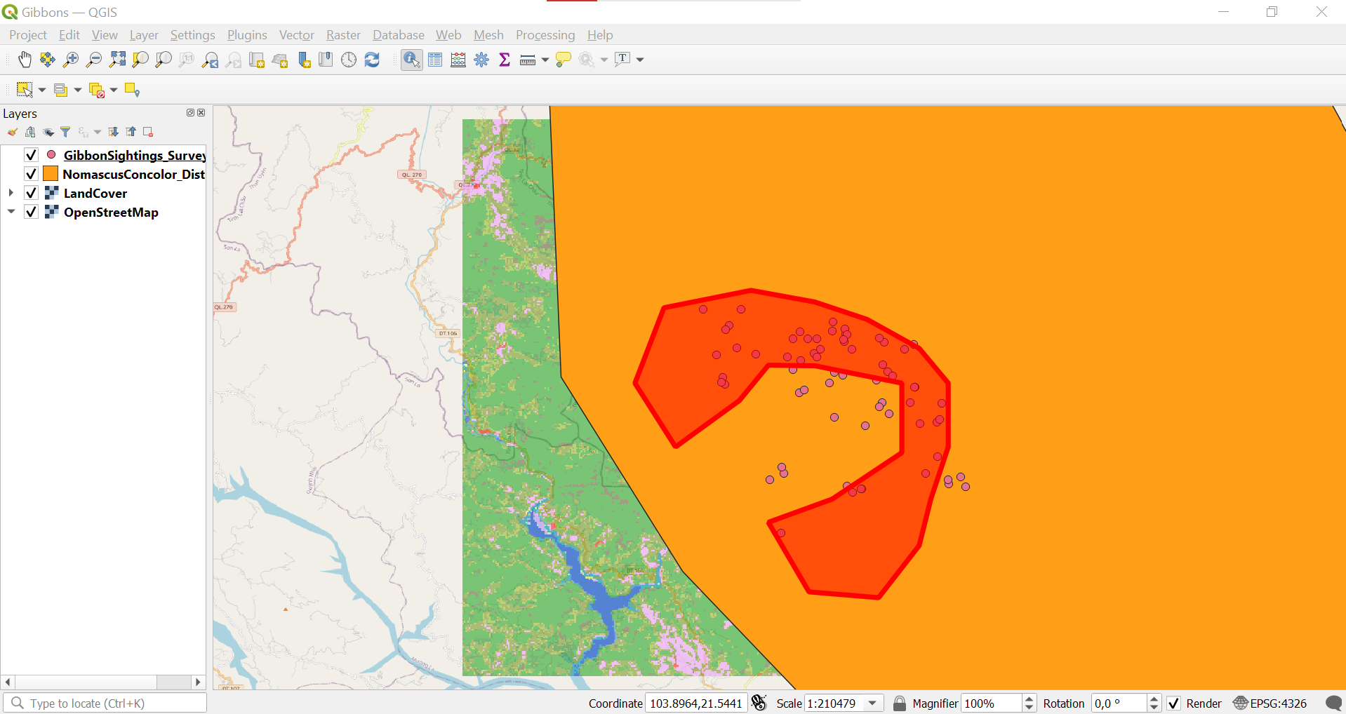
I found Module 1 really helpful. I learned how to apply different layers to my project and how to organize these in a way which best displays the data I am attempting to portray. The instructions were extremely clear, which made learning a breeze. I now feel confident in my ability to add layers to any project and will hopefully be able to apply these skills to my own data one day. This module has placed me one step closer to achieving my overall goal of becoming familiar with the basics of GIS, so that I can apply this knowledge in my field of work (or study) one day.
Your map looks incredible!
Thank you for sharing how you edited the opacity and colors of the layers.
Do the names next to each colour in the layers panel represent the names of each subspecies (I cannot read the writing)? If not, would you need to add a separate legend to your map to show what each colour represents and do you know how to do this?
I am definitely going to attempt this with my own data!
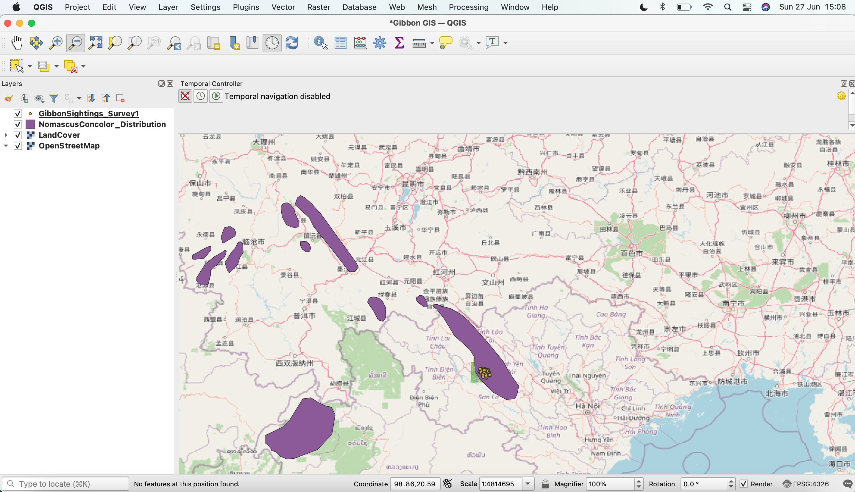
This module was easy to follow and the step by step instructions were very clear. I already have some basic knowledge of GIS through university studies but it’s very very helpful to learn the basic concepts and functions of the consol. Overall an easy and straight forward introduction to the course.
1 Like
If you go to the properties of the layer you should be able to change the fill colour/line colour and make it into a line rather than a block shape 
This is great and really helpful! Going to go back and try this on mine also!
Looks good! I like how you adjusted the opacity so that you could see the overlap between land cover and the base map
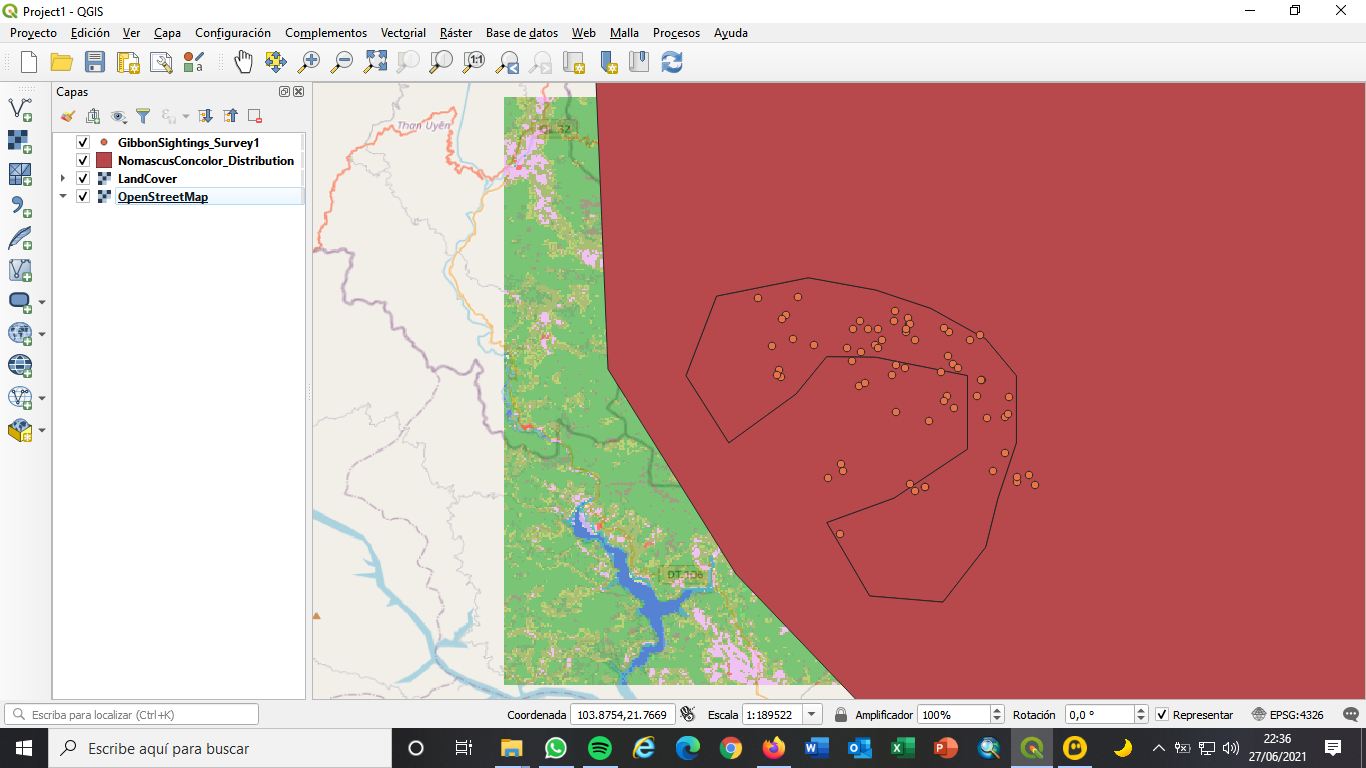
This module has been very intuitive and representative, to start making contact. It summarizes very well how to represent distribution data and sightings of species, and represent them on a map, it has been very useful, especially the last step of adding a map because I did not know how works in Qgis.
Hello Zoe, Great Work!!!
-Your work has seemed very interesting to me, since you have used the map and have diminished the scale for see the distribution more generally in the Asian continent. It has been one more step. I think is great, you have also included some place names.
-Regarding what you would improve, I only suggest that those names can be converted to English, it would be easier to identify the names of toponyms.
-But aside from all that it is great, I think I could improve my map by adding the place names and the map on a smaller scale like yours!
1 Like
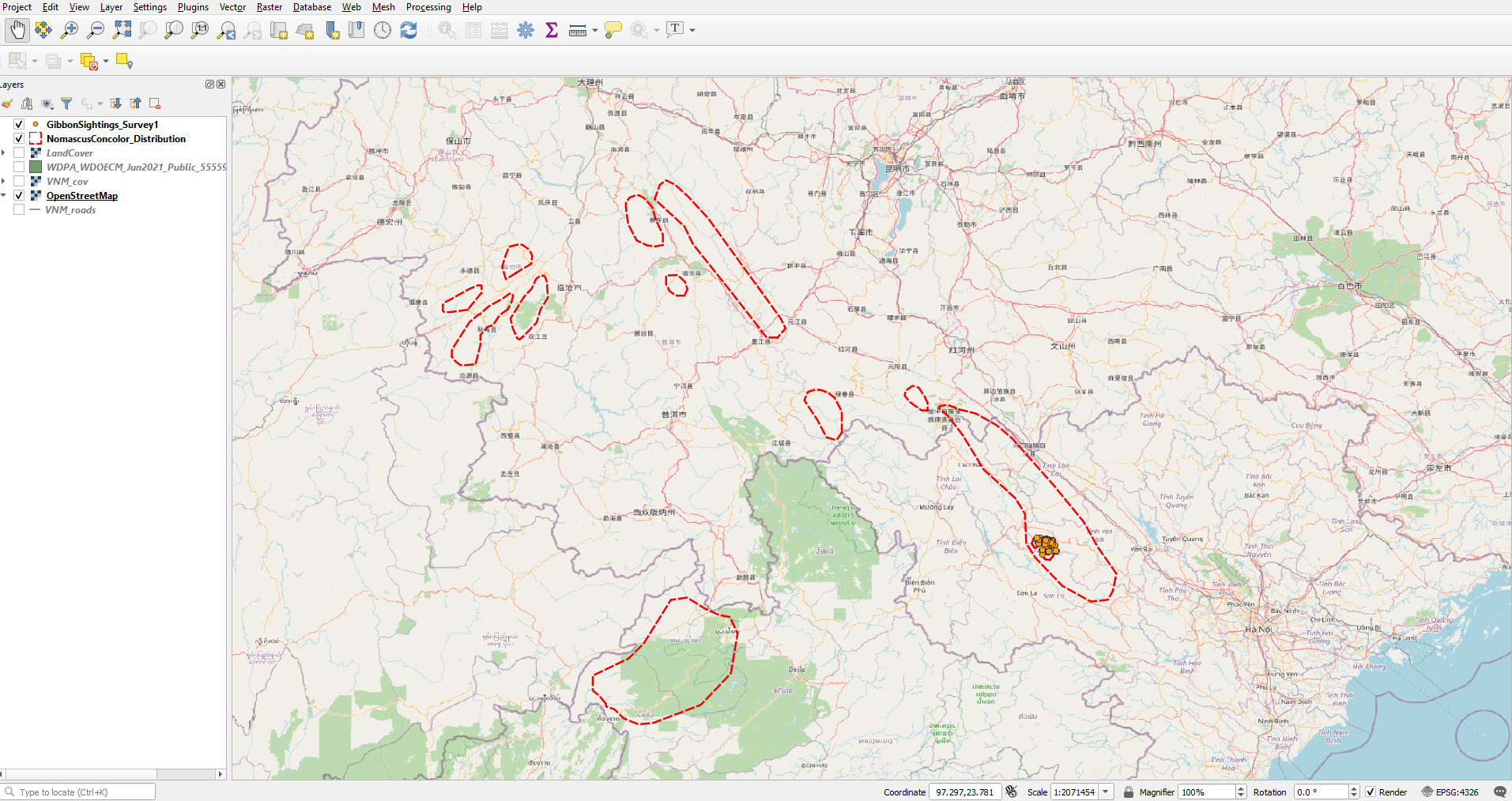
Woops, I forgot to upload my assignment 1 review, but have come back to do that for the certificate! First off, this first lesson was great and helpful in learning how to navigate the program, which admittedly has many features and buttons! So far I haven’t had a problem, - but I know that may happen and I will hopefully feel equipped to tackle it then!
Looks great - i love that you included diff colors. I think you are missing the Open Roads layer! Try adding that!
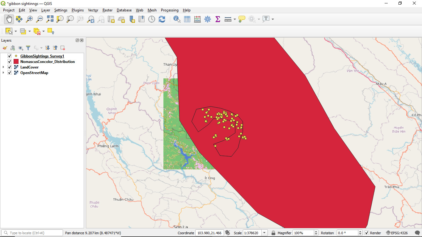
I revised my previous assignment. I’ve found how to make the Land Cover coloured!
how such an easy method
I love this course so far
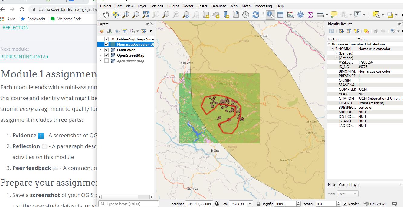
The module was simple and easy to follow, I appreciate the step by step instructions. Somehow I uploaded OpenStreetMap twice because one was already there when I went to add the layer. I’m following along so far but definitely want to learn the difference between a Raster layer and Vector layer. All the layers, really.
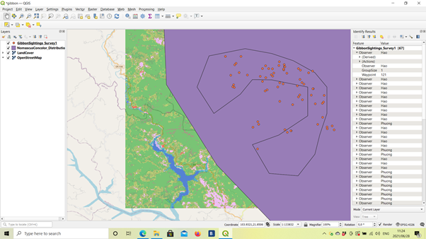
I found the explanations super helpful- which made this activity quite easy! I think it’s just going to take a lot of practice for it to become second nature. So far so good though!
Hey Sarah, nice work Your layers are in the correct order  Remember to select land cover as well for that extra layer to display. I do notice you have quite a few more layers as well, something I haven’t tried playing around with but I will do so now Cheers, Courtney