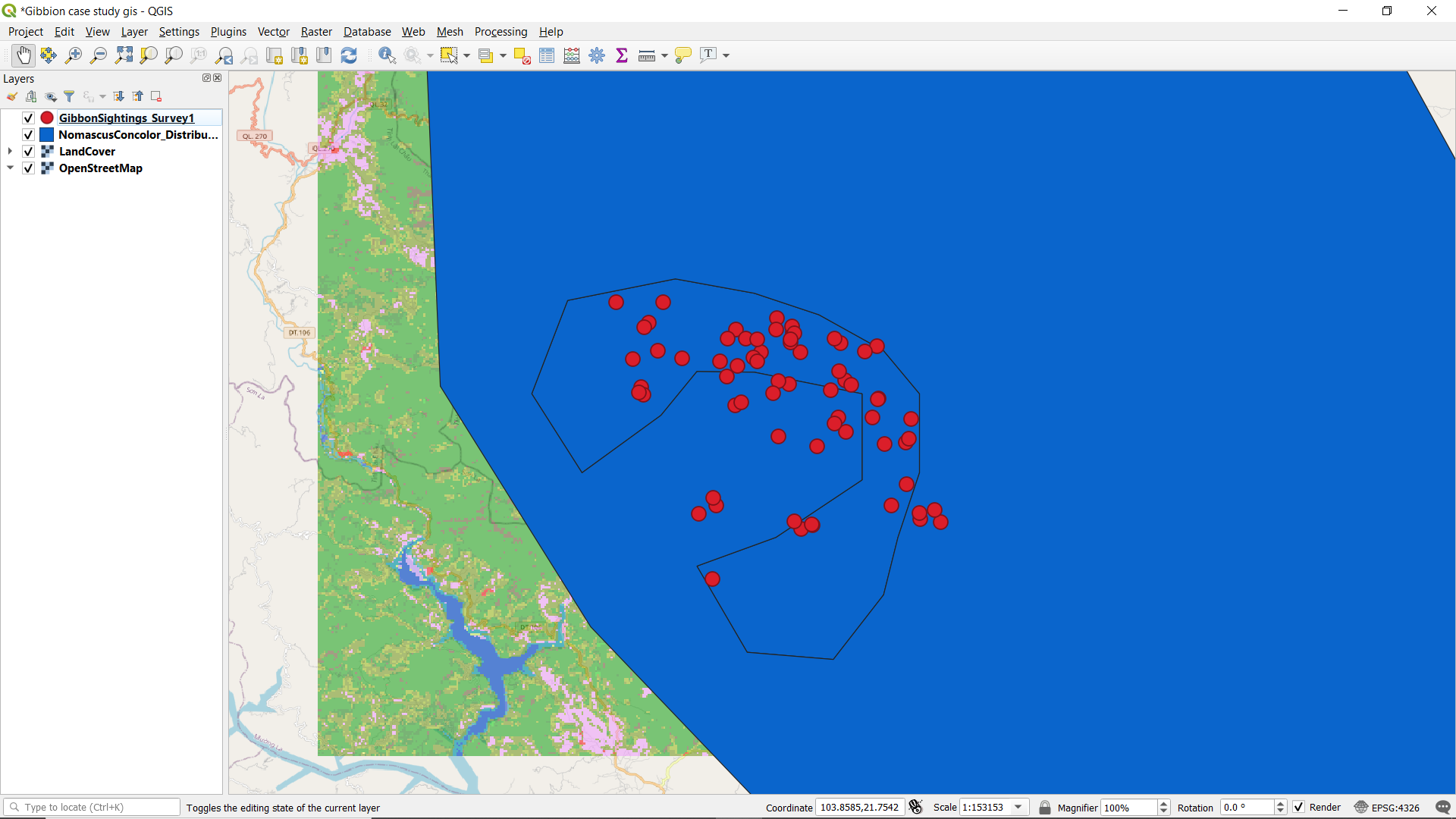
hey Sarah, I found your work nice. you were able to play around your with your project.
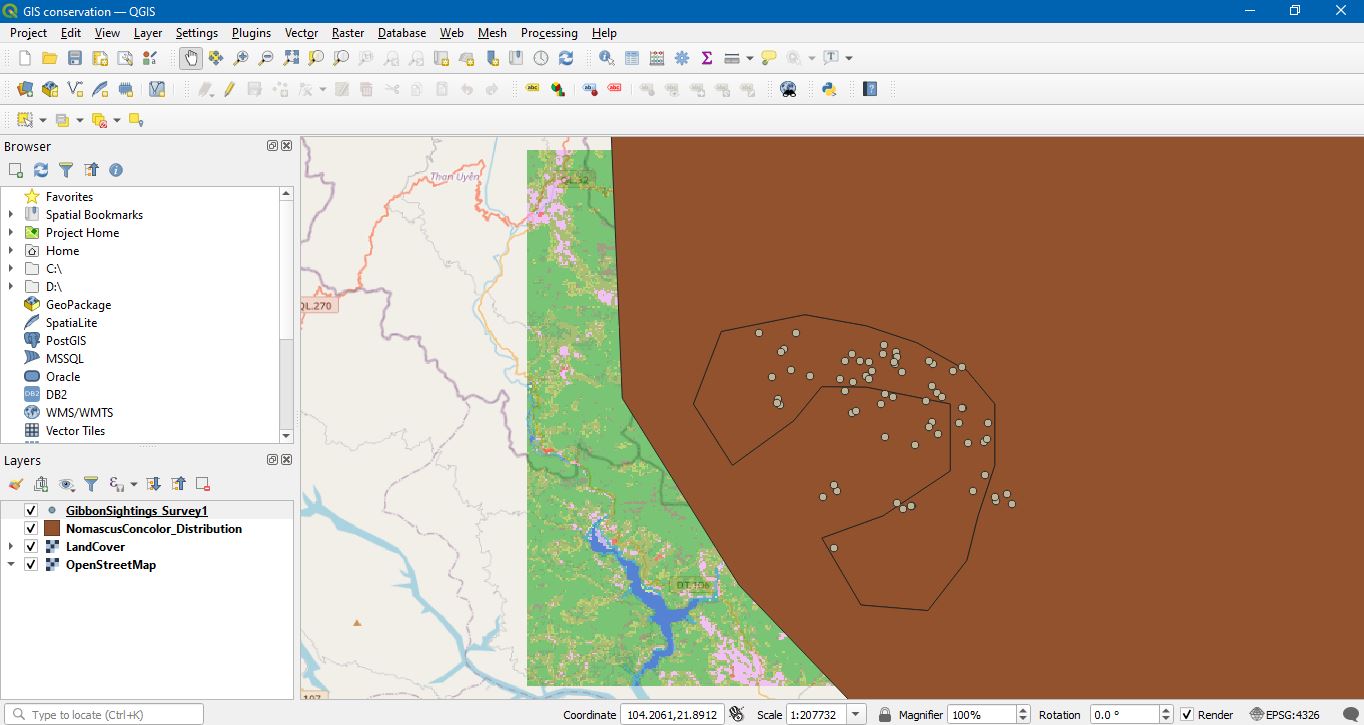
It is important to learn about the different types of layers in QGIS. which guide me to develop and find my own layers to my own project and the knowledge about those.
1 Like
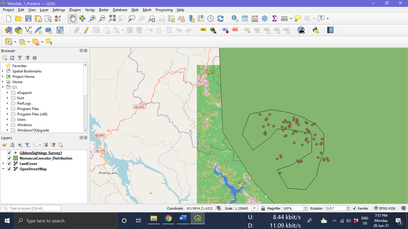
Hi, I found your work nice. I wondering two things. The first one is that why we have different colors on NomascusConcolor_Distribution layer. The second one is that is the base map different from one another according to their location?
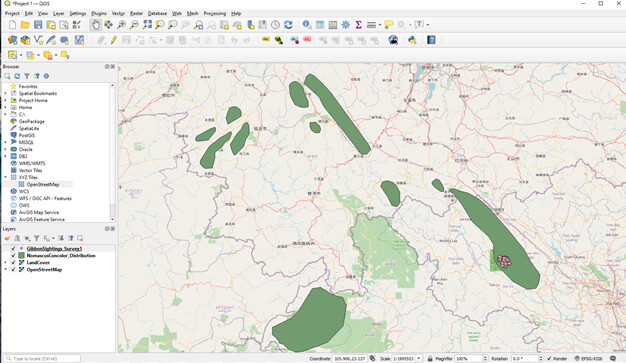
I was able to successfully navigate the installation of QGIS, as well as the tasks of this module (see screenshot). I feel confident that it turned out appropriately. Thus far, the course is helping me meet my goals of learning how to use GIS to create visualizations of data. I did have one issue when adding the LandCover layer in that my NomascusConcolor_Distribution layer stopped displaying. I deleted the layer, then readded it, and that seemed to fix the issue. I’m looking forward to learning more!
This module helped my progress towards my learning goal as my goal is to have a good understanding of QGIS and how to complete a project with my own data from start to finish and learning how to upload layers is one of those very important steps! I found this module very easy to follow however I did have to do it twice because the first time I attempted it the ‘Land Cover’ layer prevented my other layers from showing up and I couldn’t figure out how to get them back.
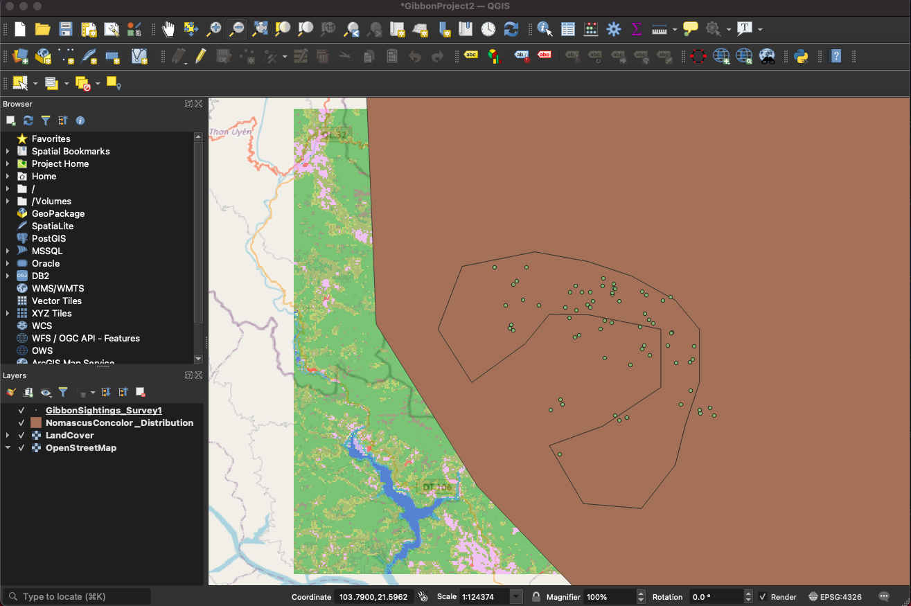
Hello Ekole, my apologies for the lateness of this post, I have been having some difficulties getting logged into the forum. One of the things I noticed with your initial posting was two missing layers (land use & street maps), but you are getting there. When reading through the strings, I feel certain that you have already addressed these, so well done! Randy
I enjoy this introduction on vector and raster layer. The instructions are straight forward, and easy to comprehend.
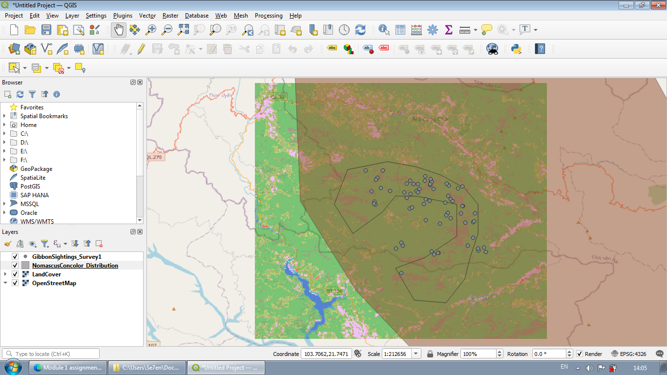
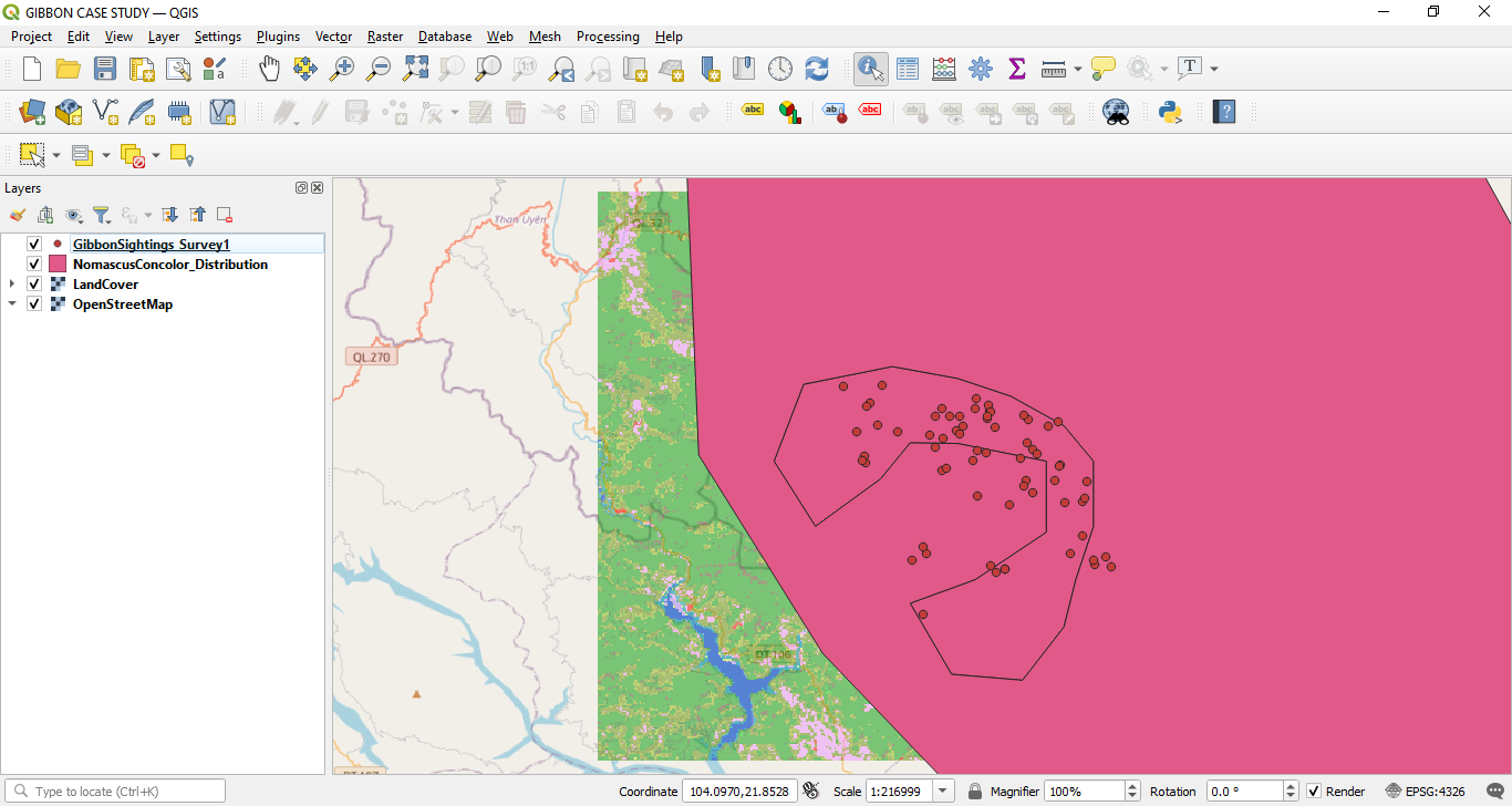
I am so glad I can finally access the 1st module for this course. I have encountered problems with downloading the program but I am glad that it is now accessible. This module was very informative and it definitely helped me to get a better understanding on the features needed to create and identify maps which is very important in my line of work. I look forward in learning and completing the other assignments ahead. Good luck to everyone!
I agree with you Kehinde_Ezekiel. The module gave step-by-step instructions that were very easy to follow. However, I also came across the Land Cover layer feature and had the same problem you experienced. I also fixed it by removing those layers and adding them back again. Even arranging the layers made a big difference and I am glad this 1st module helped me understand how to use this program which will be beneficial for future projects. Do you have any issues moving forward with creating a project of your own instead of using the one provided to us in this module?
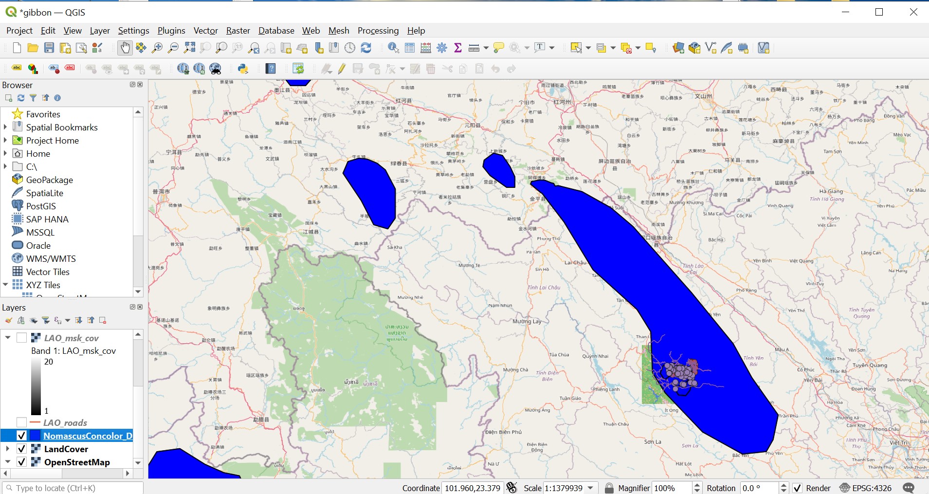
This module is fairly easy and straight-forward. So far, I haven’t encountered any problems. I have figured out how to overlay maps on top of each other for easy viewing. Overall, I think it’s a good start.
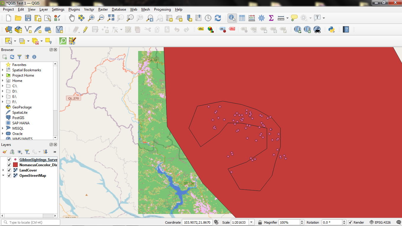
A bit late for Assignment 1 submission BUT I was also in the field when the course started!
I am still trying to figure out how some of the files are created for QGIS e.g: shape files or base maps. Otherwise, I am just familiarizing myself with the whole process using this data first instead of my own.
Yep! I found this really helpful.
Right! Just some practice and we will be whizzing through QGIS 
Thanks, @kanishka for your response.
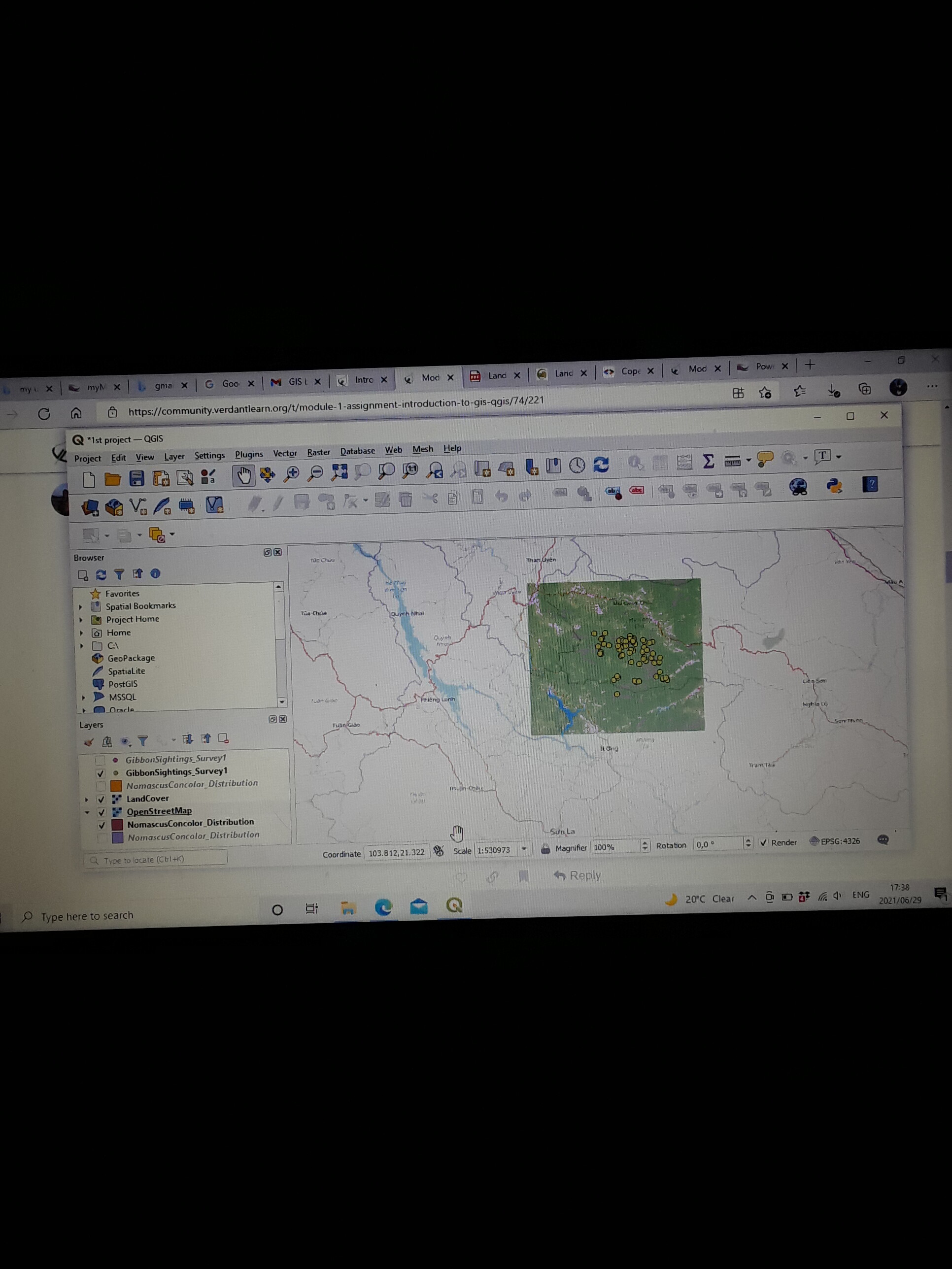
1 Like
your work is owesome ,i would like to know where can i search for similar case studies .
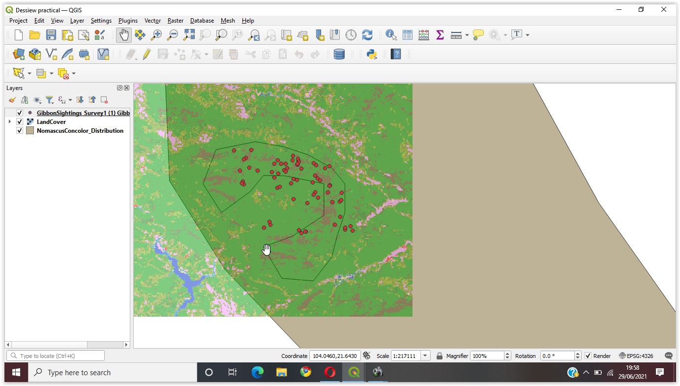
Yes! I can use it effectively