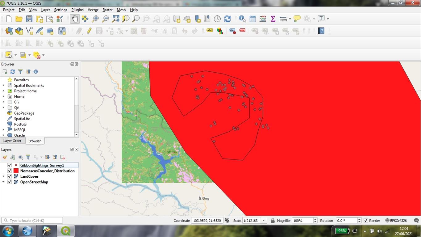
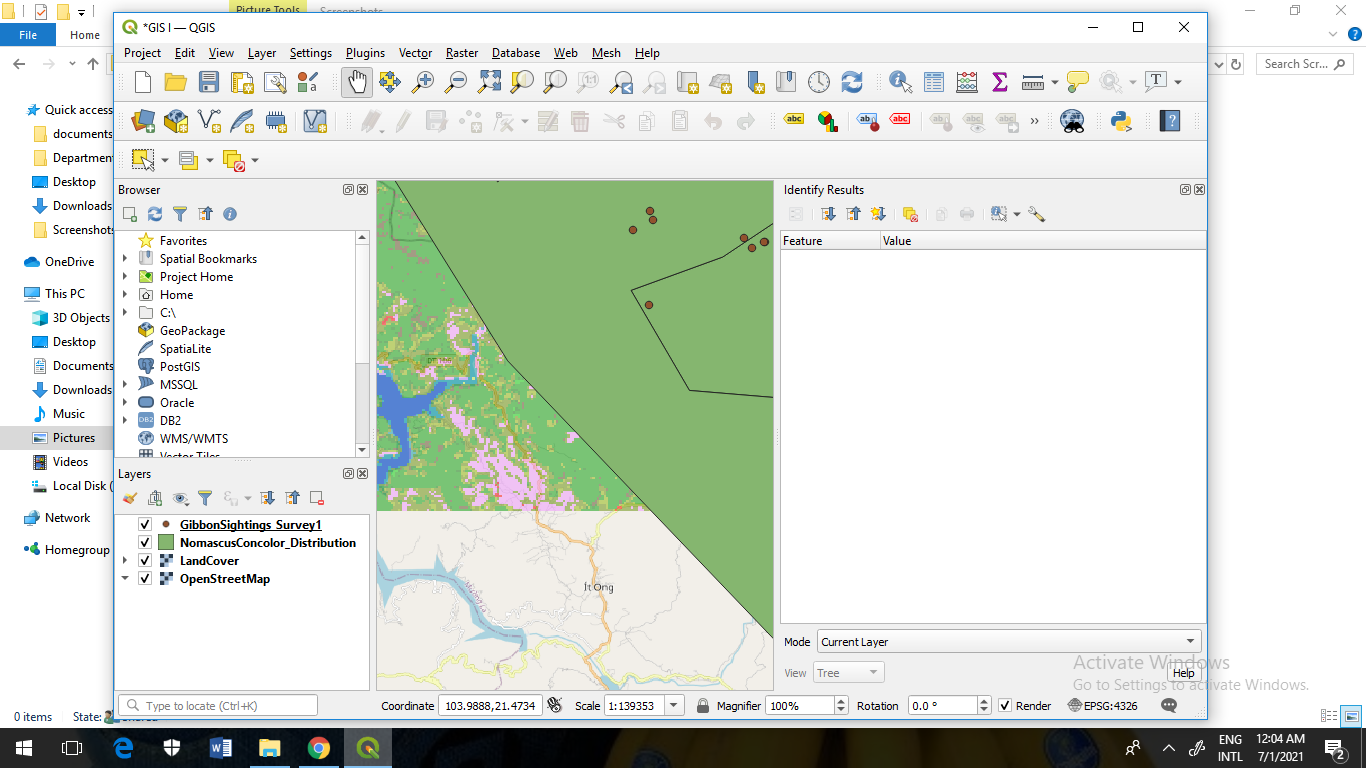
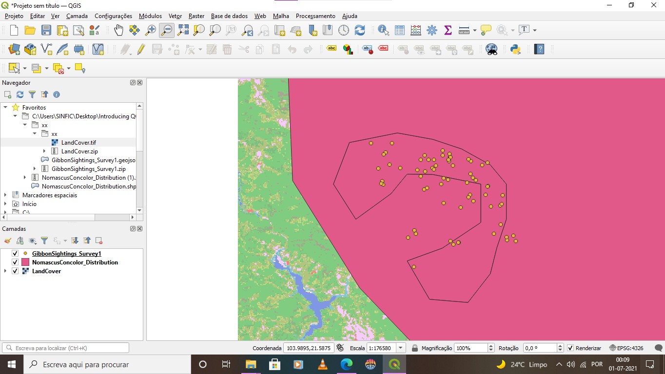
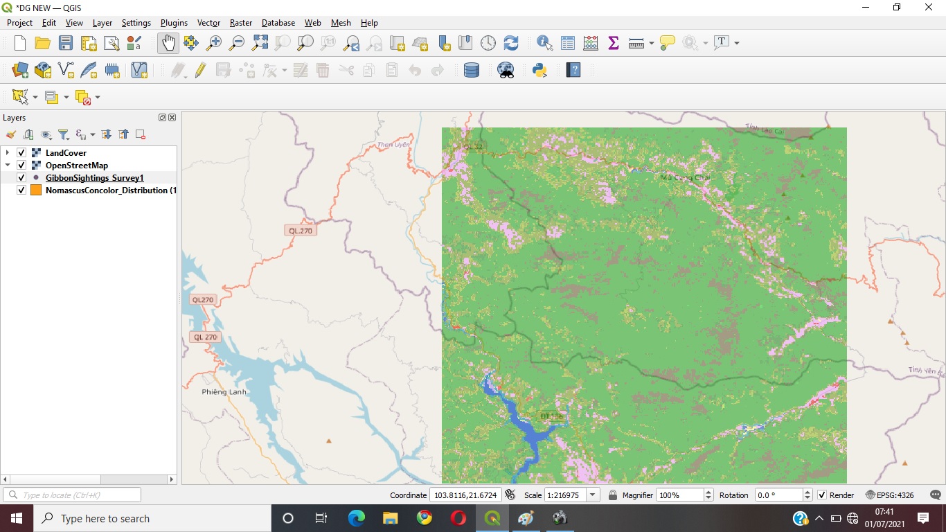
The assessment was very intriguing. I am an Environmental Management recent graduate who has experience in using QGIS. This assessment reminded me of my 1st and 2nd year at tertiary where I was taught how to use the software. I found the assessment to be very insightful and also the instructions were very clear on which steps to follow. I am grateful for this course because I am somehow planning to further my studies and I think this course will be assist me a lot in doing my research.
This module was a good way to get started on learning QGIS since it went through the basics of mapping. I can’t wait to get started on the second module!
HI Jane,
I am ambidextrous in the use of ArcGIS/ArcPro and QGIS and have given training courses and given lectures in the differences beyween the different GIS software platforms - I have been a ArcGIS user for 20 years and a QGIS user for about 6 years and use both on a daily basis.
For most users, the functionality of both software platforms is almost identifical (although the technical aspects of how you use that functionality will differ) - for the vast majority of tasks, you can use either software and produce identical results. In fact both can use exactly the same datasets, so it is perfectly feasible to have one set of data and have two people using different GIS software from the same data.
The main difference though is price - ArcGIS requires purchase of a license (a range of differeing licenses available depending on what it is you want and how it is being used) whereas QGIS is Free!
So you may ask, why would anyone want to purchase ArcGIS when you can get an equivalent for free ?
Well its down to operational context and the more esoteric nature of the functionality.
ArcGIS products tend to be more co-herent, consistent and better thought through in terms of “work flow” (QGIS by its nature of open source development tends to be more “bitty” and dis-jointed).
ArcGIS licenses also encompass a lot of other useful tools eg. ArcGIS online for creating web based mapping applications, various global and local datasets via the ESRI Living Atlas, the ability to create story maps, use of field survey tools such as Survey123 and Collector that allow real-time data collection in the field which seamlessly integrates with your ArcGIS map.
ESRI ArcGIS products are also more suited for a corporate multi-user environment where you have many people within a single organisation (which may be distributed around the world) which will be accessing, updating and querying shared data resources.
There are many more differences which I could spend all day talking about (and @M_gog will confirm my ability to do that ) but as always with any IT application, you need to “pick the right tool for the job” - and for 80% of the time or 80% of the users, there is no practical difference between QGIS and ArcGIS , so pick the one that suits you best (or you can get for free!) - There may be a time when you move into the remaining 20% of users that need something a bit different - but having the knowledge of QGIS will help you learn other GIS packages a lot easier.
Hope this helps.
Jonathan
Hi Jamila, as you work through the course, you will find out how to create a shape file from a set of point locations in a Excel or CSV file. Im not sure whether it is covered in this course, but you can also generate your own linear features (such as roads, rivers, survey transects etc) or polygon features (survey areas , habitat zones, site boundaries etc) by ‘creating’ GIS layers and adding “fields” to the attibute table to store your data relating to the features you create.
There are a variety of techniques to create all sorts of GIS layers either direct by digitising the features, or by ‘deriving’ them from some other sort of process (eg. creating “home ranges” by generating convex hulls from species observations, creating a topographic surface / height map from a number of spot heights, generating slope angle map from a digital elevationi model).
Hope that helps
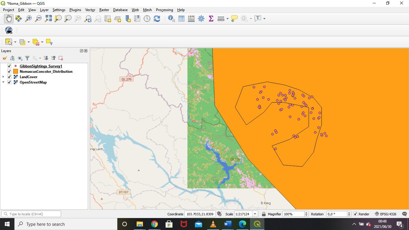
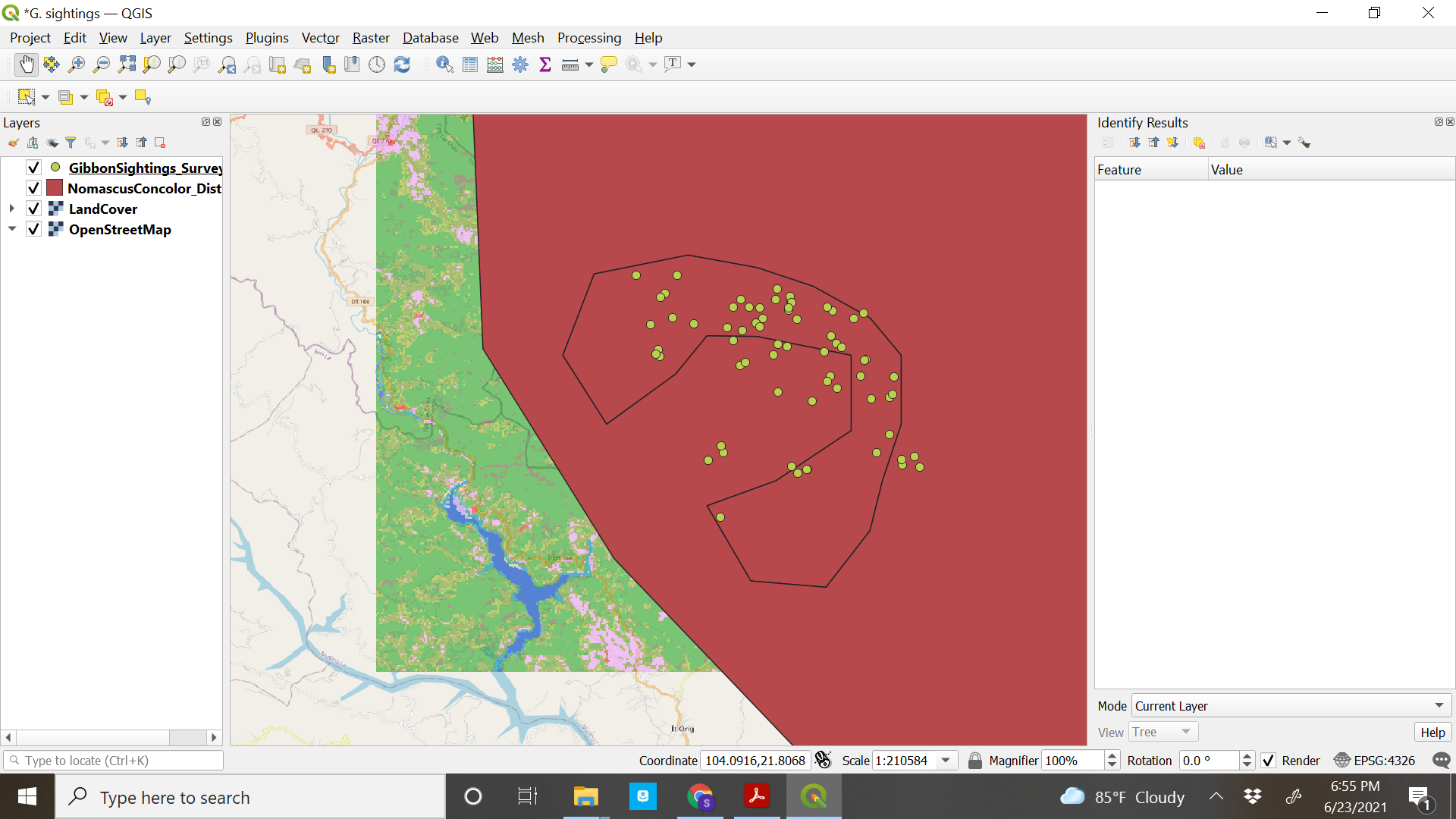
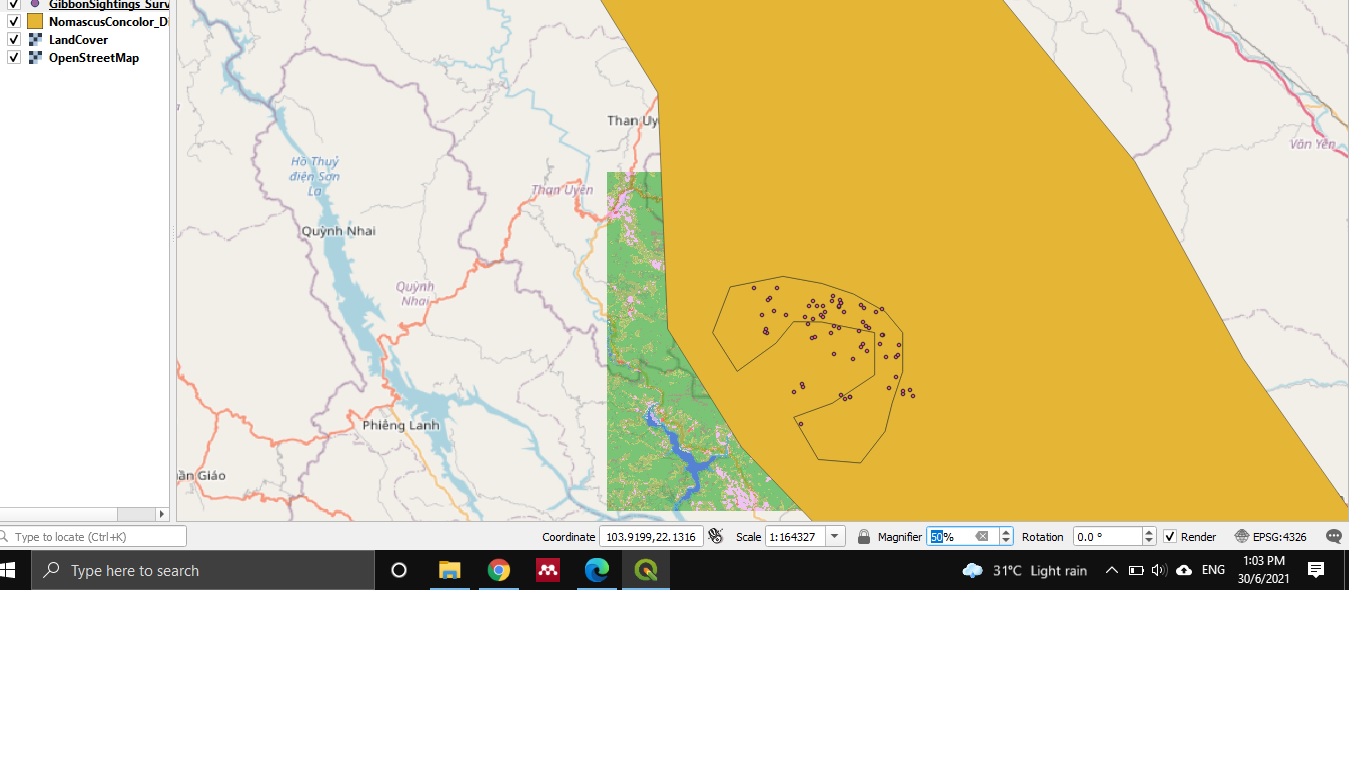
Hi Sulemani, try removing open street layer and re add. Right click on NomascusConcolor_Distribution layer, then click on styles; from there you can change the color of the layer.
Initially the task was challenging. I had to practice and go back to the instructions frequently but with patience and consistency am glad a could do the assignment.
The beginning of the course was very challenging. Was necessary donwload the GIS and this taken a long time, but everything is going well, that was for my the harder part at the moment. the introducion was very clare and helped to refresh the concepts, the way that we receive the lessons help to understand better.
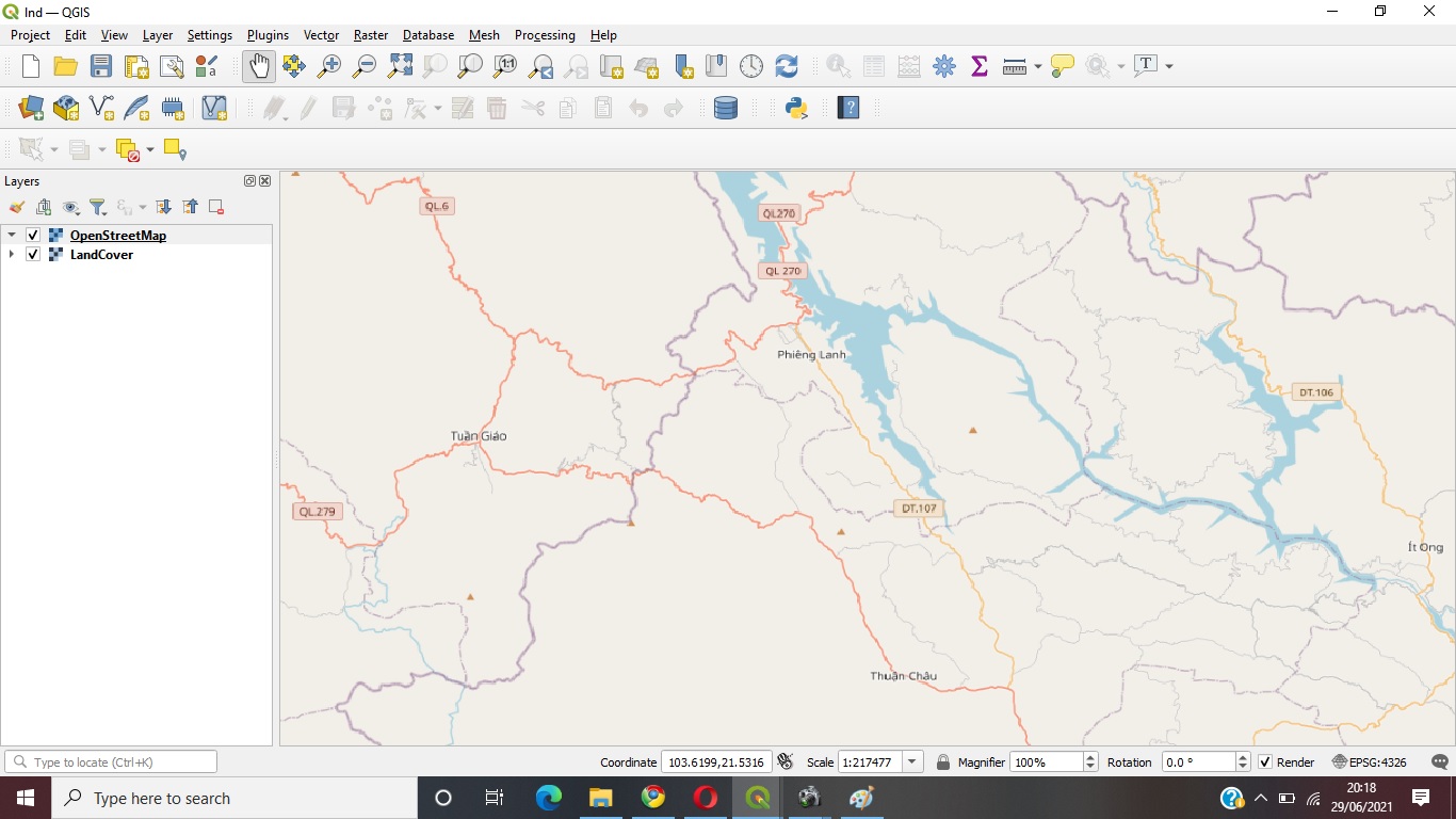
Hello every one, here is my new project and really I got very interesting QGIS course for helping my monitoring field data where I get the exact place the home of species my using map and or GIS information, and further I will expect how to load my field data in my Microsoft office excel and and getting the real information from you,
 ) but as always with any IT application, you need to “pick the right tool for the job” - and for 80% of the time or 80% of the users, there is no practical difference between QGIS and ArcGIS , so pick the one that suits you best (or you can get for free!) - There may be a time when you move into the remaining 20% of users that need something a bit different - but having the knowledge of QGIS will help you learn other GIS packages a lot easier.