I found the instructions for this module very clear and easy to follow. It’s also great to slowly remember how to use the various functions of qGIS, and was especially good about the reminder on how to add/remove panels and toolbars (which I had forgotten).
Also, I couldn’t find the “Add XYZ Layer” initially - so I googled how to find it. I find “googling” things like this is also really useful, as invariably someone else has had the same problem and has posted an answer. Although it didn’t appear in the “Add Layer” dialog, I could add XYZ tiles from this option in the “Browser” panel (I had to reselect the browser panel)
1 Like
Thank you so much for these comprehensive instructions! I had no problems with this assignment. However, you would think that a complete beginner finds it difficult to follow all new terms, such as e.g. vectors or raster layers and differences in them. And why it is necessary to show them in the order that we did. Here really comes in handy the glossary you attached in the chapter on definitions.
1 Like
I agree! I was also a little lost on all these file extensions… I’m obviously going to have to dig a little deeper into this. 
The material so far is simple and clear. The instructions are fab. So far I have not encountered any problems. I will now try to use my own data.
@Anna that’s correct I am with you there, every small task that you come across during introduction after installation of GIS is Module one assessment.
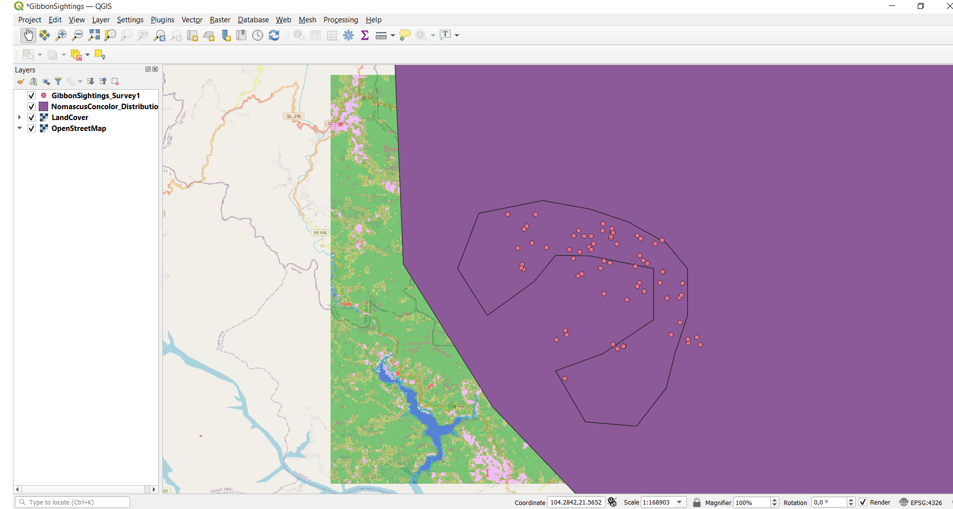
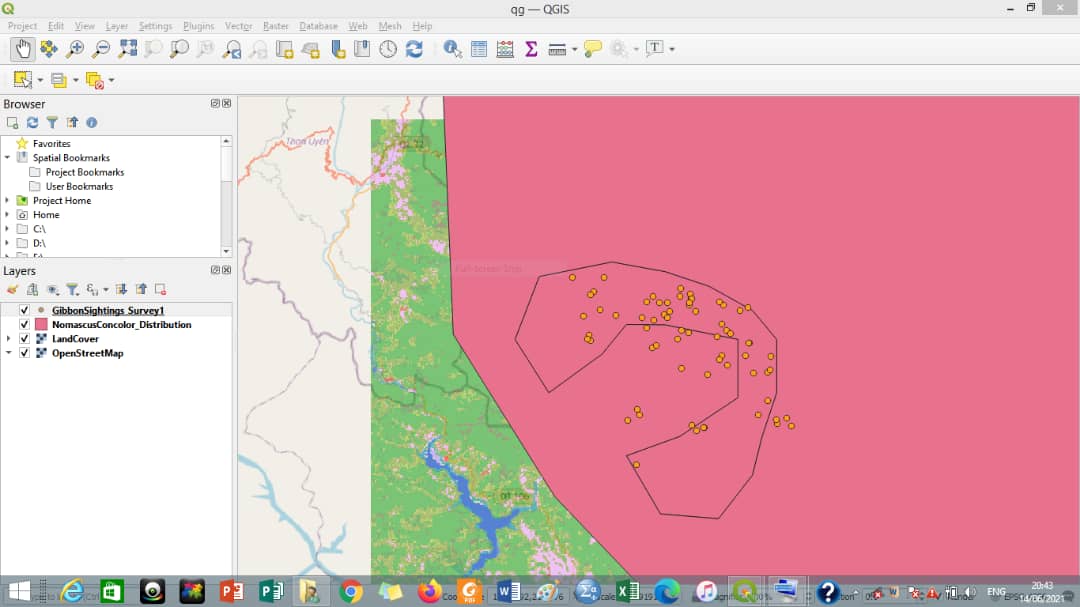
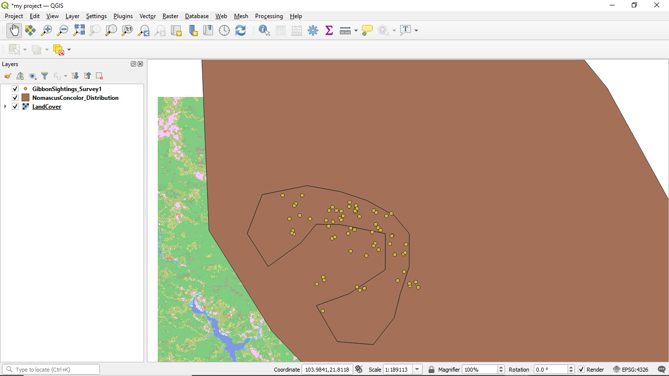
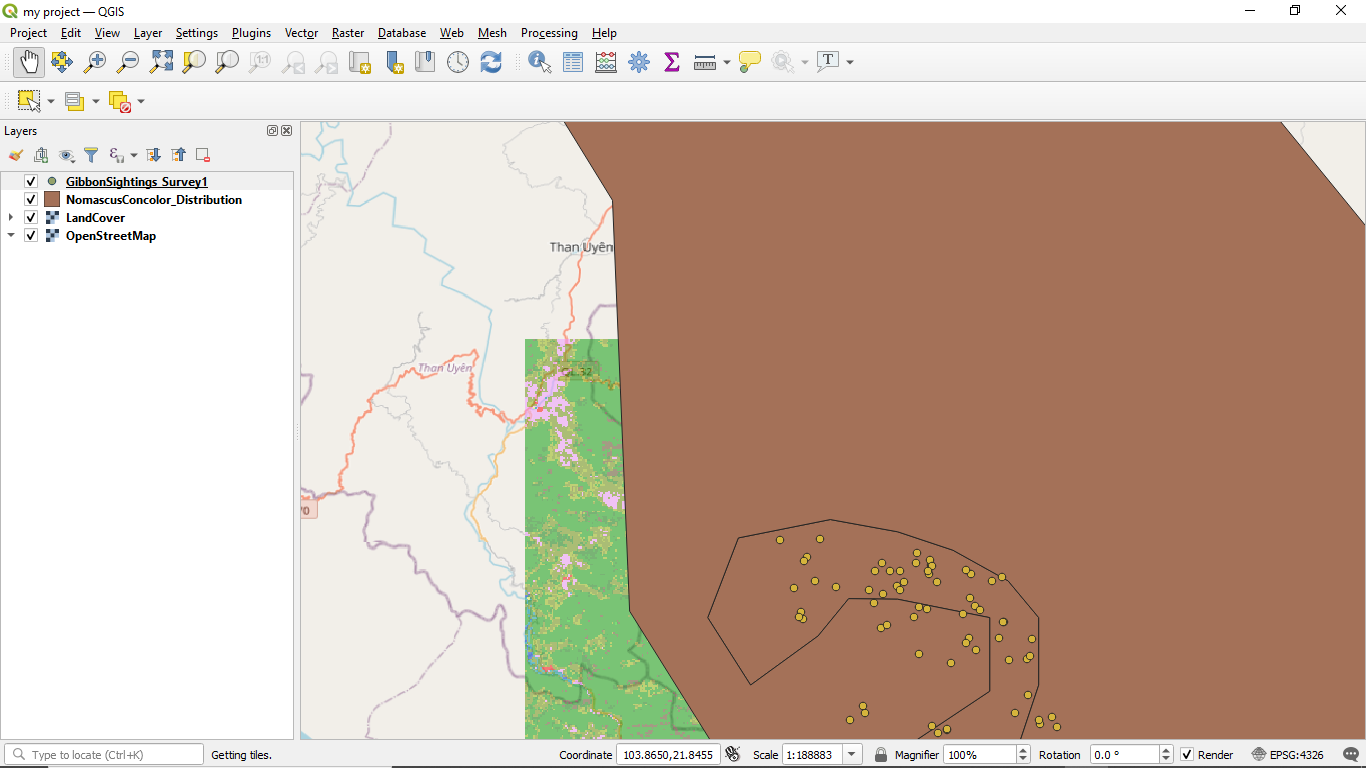
Your map looks the same as mine. To improve you have a few OpenStreetMap in the layers which might get confusing later on.
@SthandwaHlongwane, please double check if the URL with XYZ was correctly captured when prompted, I guess that’s where the problem coming from. what I did is copy and paste the URL so that I don’t omit any letter.
1 Like
Hello all, Just finished my first assignment, cant wait for the next one,zealous about the exercises. Regards
1 Like
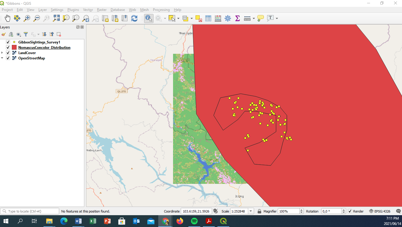
That is a very nice map. Its out standing, i took longer to develop mine but made it at last. Regards
Uploading: Screenshot (12).png…
this was an exciting challenge. i have been able to exercise my brain and i believe my mapping abilities are gradually improving. i think the skills i will acquire throughout this course will allow me to pursue ,my studies and a career in GIS and also conduct researches that require GIS.
good job on completing the assignment. however, i think you should have zoomed in the project so the point of interest becomes visible. i think i can learn how to add colour to my map from you. good job.
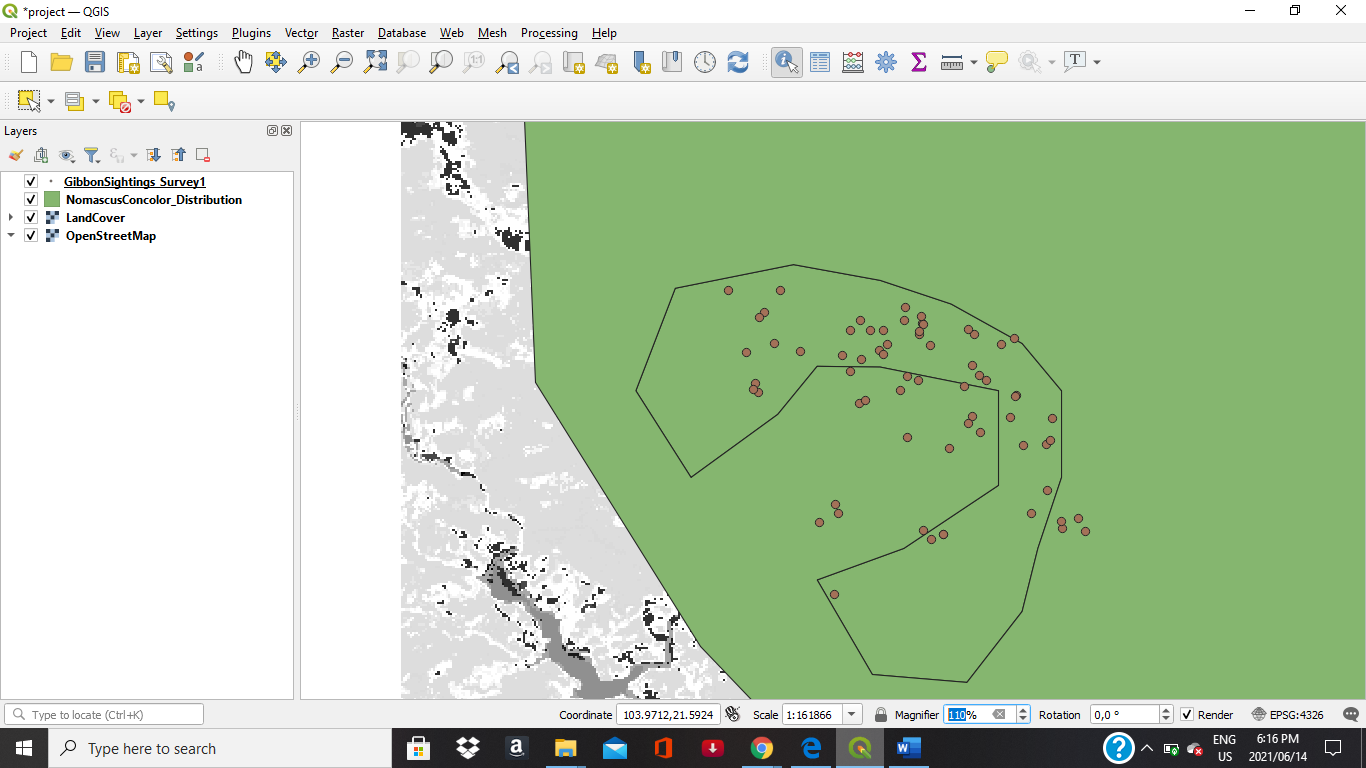
Hi! This is a picture of data that I have for a wolf scat analysis project that I’m working on currently. Every point is the location of collection of every scat sample, the winter and summer layers stand for samples that I have already analysed. My goal was to compare the current coverage of the area that I have in comparison to the samples that I haven’t analyzed yet. There is an additional layer wich are the borders of the districts of the study area.
2 Likes
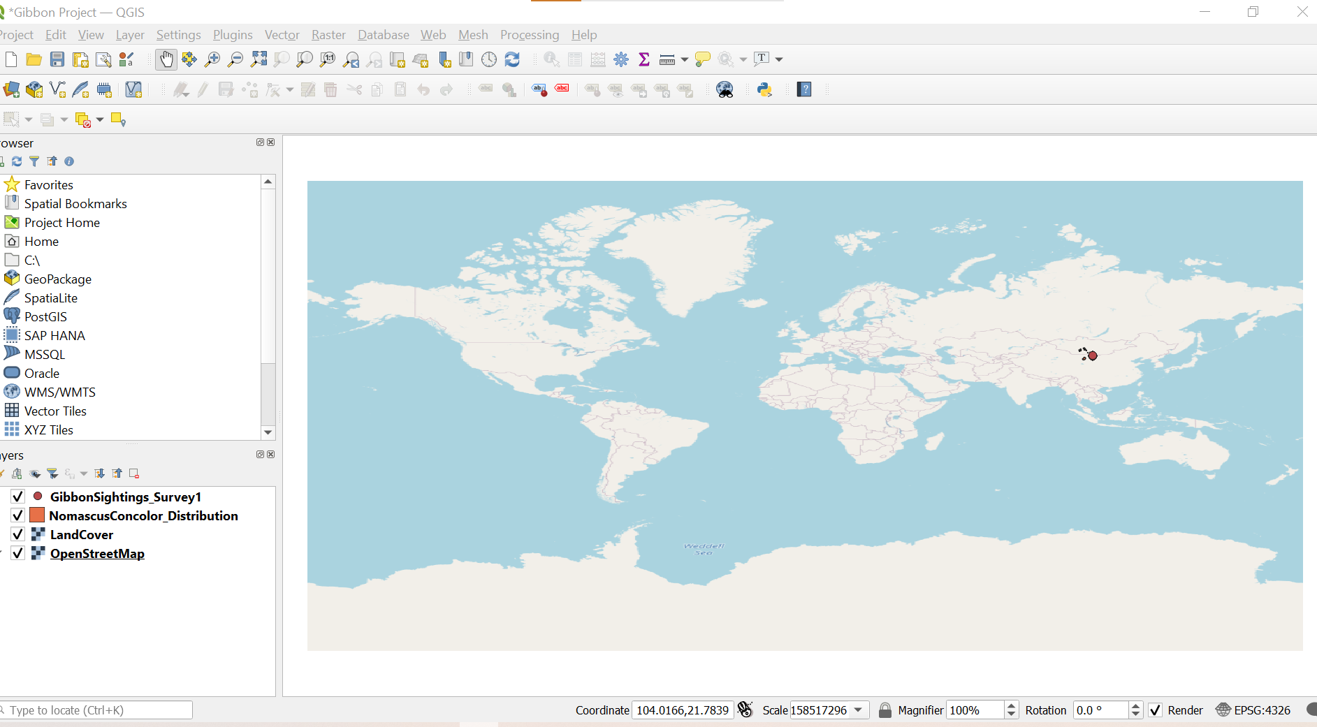
The module’s activities have introduced me to QGIS tools and an understanding of how to use them in spatial data viewing and presentation of actual field data on distribution. The activity also allowed me to learn data inspection, identifying data features and presentation of different layers using the software with step by step methods of mapping data introduced. This has brought me closer to the basic use of QGIS in my working environment
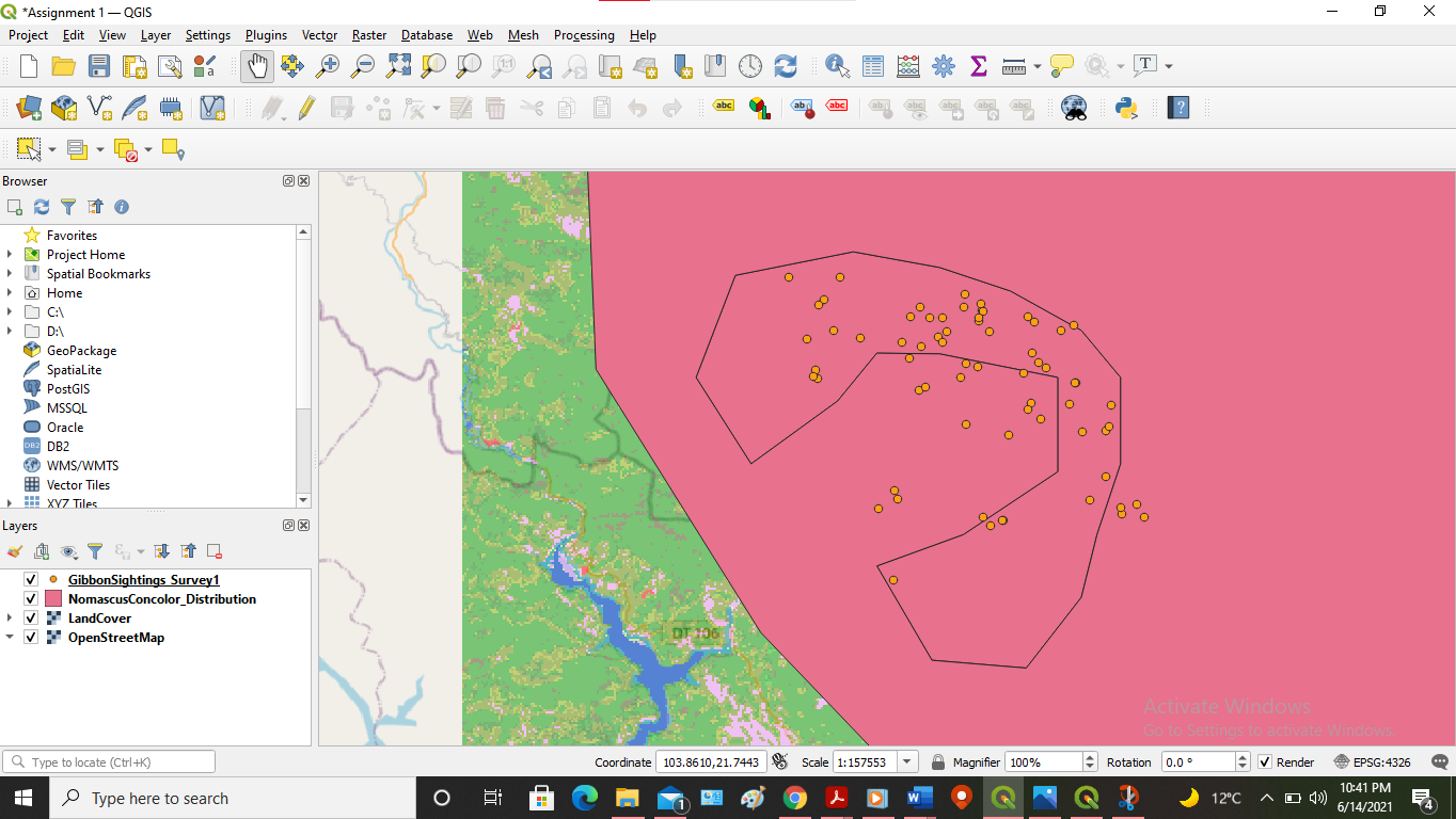
I followed the instructions and came up with the map below map. Was a bit challenging at first since most of the terms were new, but got a gist of it now. Thank you for the simple instructions and comments in this forum, they helped me a lot.
@xolanimanzini the copying and pasting worked for me, didn’t want to miss anything on the url .
2 Likes
hello everyone, enjoyed the lessons and am on course to attaining my learning goals and there are no problems experienced so far
Thank you so much, Jonathan, this is very helpful!
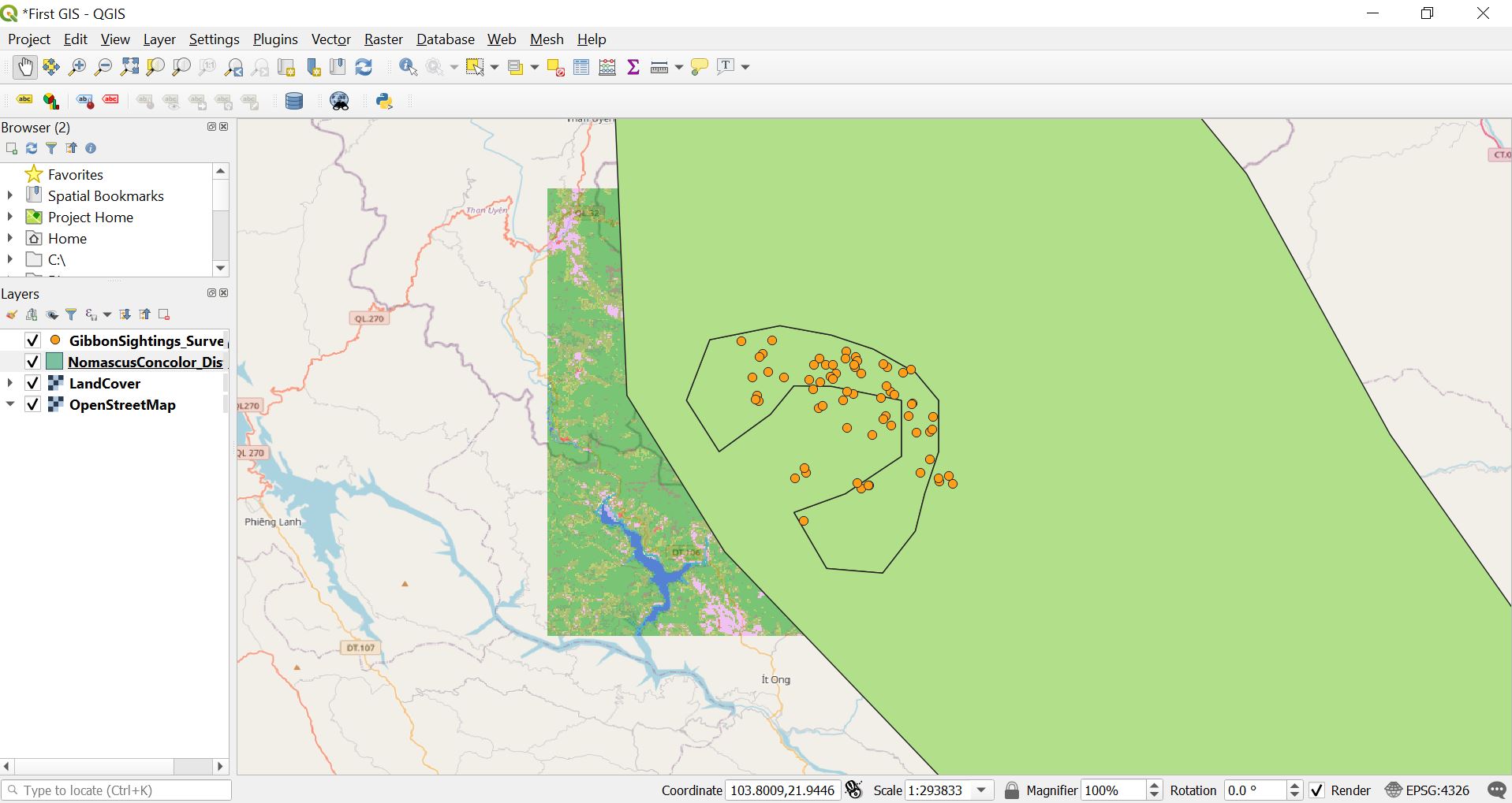
Hi Every body, here my map,
I feel easy going the instructions to do, I will try with others data set
1 Like