I understand your struggle and frustration because I’ve been there too. Yes, this module is quite difficult and it’s really tiring to make any progress. However, I’m glad that you still finished it and that is so admirable. As long as we are still eager to learn then we will learn.
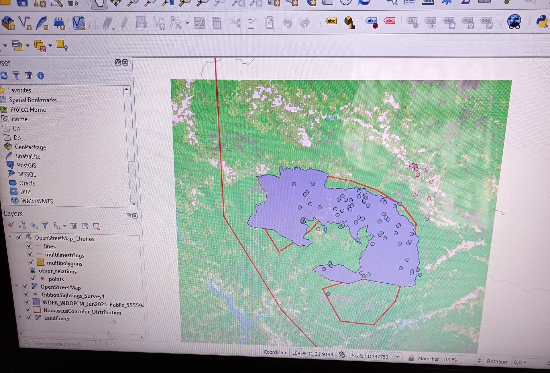
OpenStreetMap needed to be added as raster, roads as vector, landcover as raster
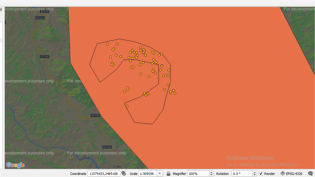
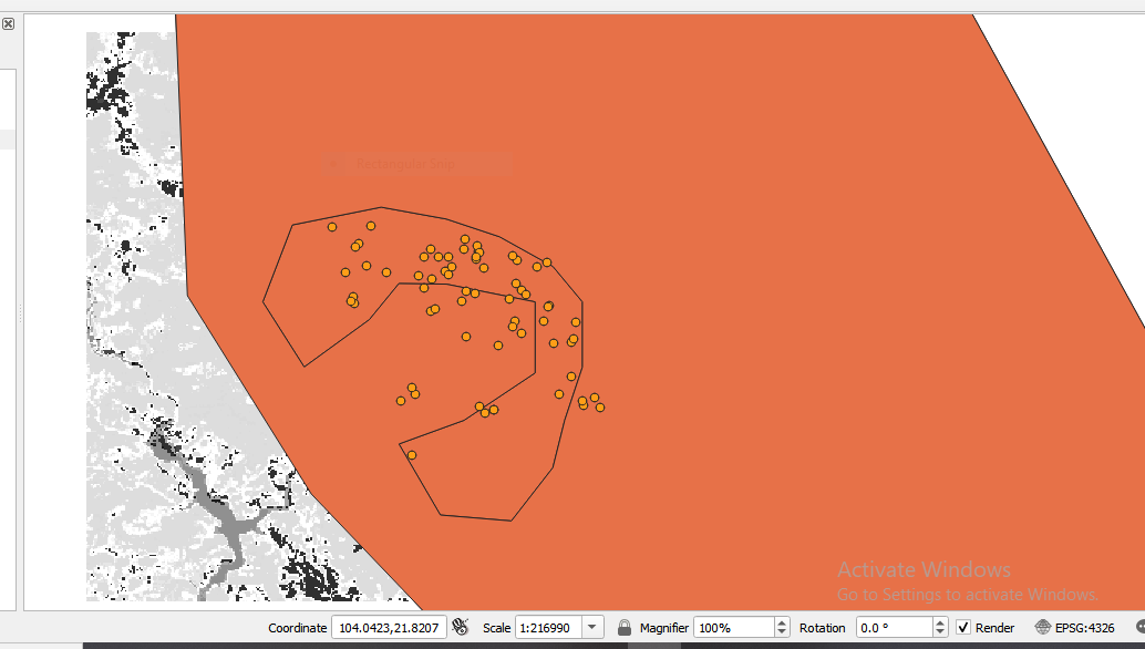
That’s right, and you can also zoom in to the area around Che Tao Nature Reserve, to make it easier to see that those layers have been added.
Do you need any assistance adding them? There is some advice in the help topics on Adding a base map and Adding OpenStreetMap
I can see that you’ve already added the OpenStreetMap vector successfully. The coarse-grain roads data are from Diva GIS - see the download instructions near the end of the Resolution and Extent course page, where you can also find the landcover raster
1 Like
While not needed for the exercises, its worth knowing that the OpenStreetMap data can also be downloaded for any area you like as atttibuted vector data. This means that you can not only use the OSM data as a map “background”, but you can also extract out from the OSM data for your own use, features such as roads, buildings, water features etc - This makes the OSM data a really useful data resource in its own right as well as being able to be used as a map background.
1 Like
Meaning as attribute roads-name of a roads, building-name of a building, water feature-type of water feature, soil-soil type
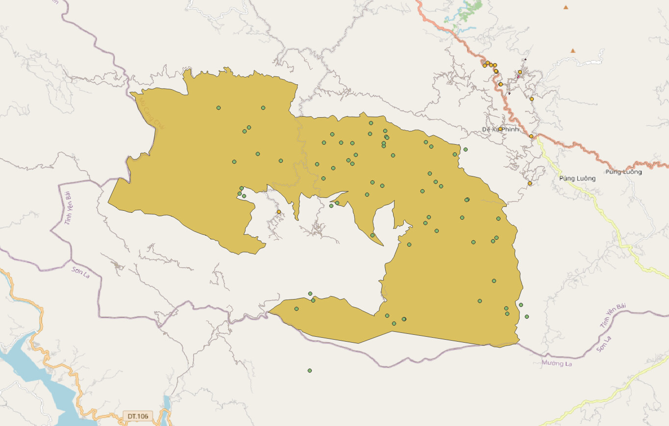
Hey, this looks great! I wasn’t sure which map layer we were meant to have on the surface but yours looks potentially more right than mine haha! Nice one 
Thanks Emily
Don’t hide data layers of your map, do a screenshot with data layers visible