Hi joelashervin,
Thank you for your feedback. Would you please be more specific about what I am missing? I checked the number of layers and I have 12. The only difference is that they are not grouped. Also, would you please mention this in my reply for module 2?
Following the instructions was not a problem. However, the concepts introduced in this module were challenging. I think I need to go over this module again.
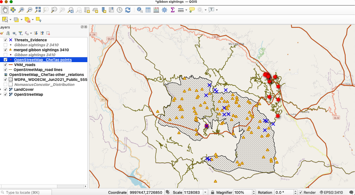
It looks good. I found that turning some layers off was helpful to better understand and visualize the processes we worked on in this module.
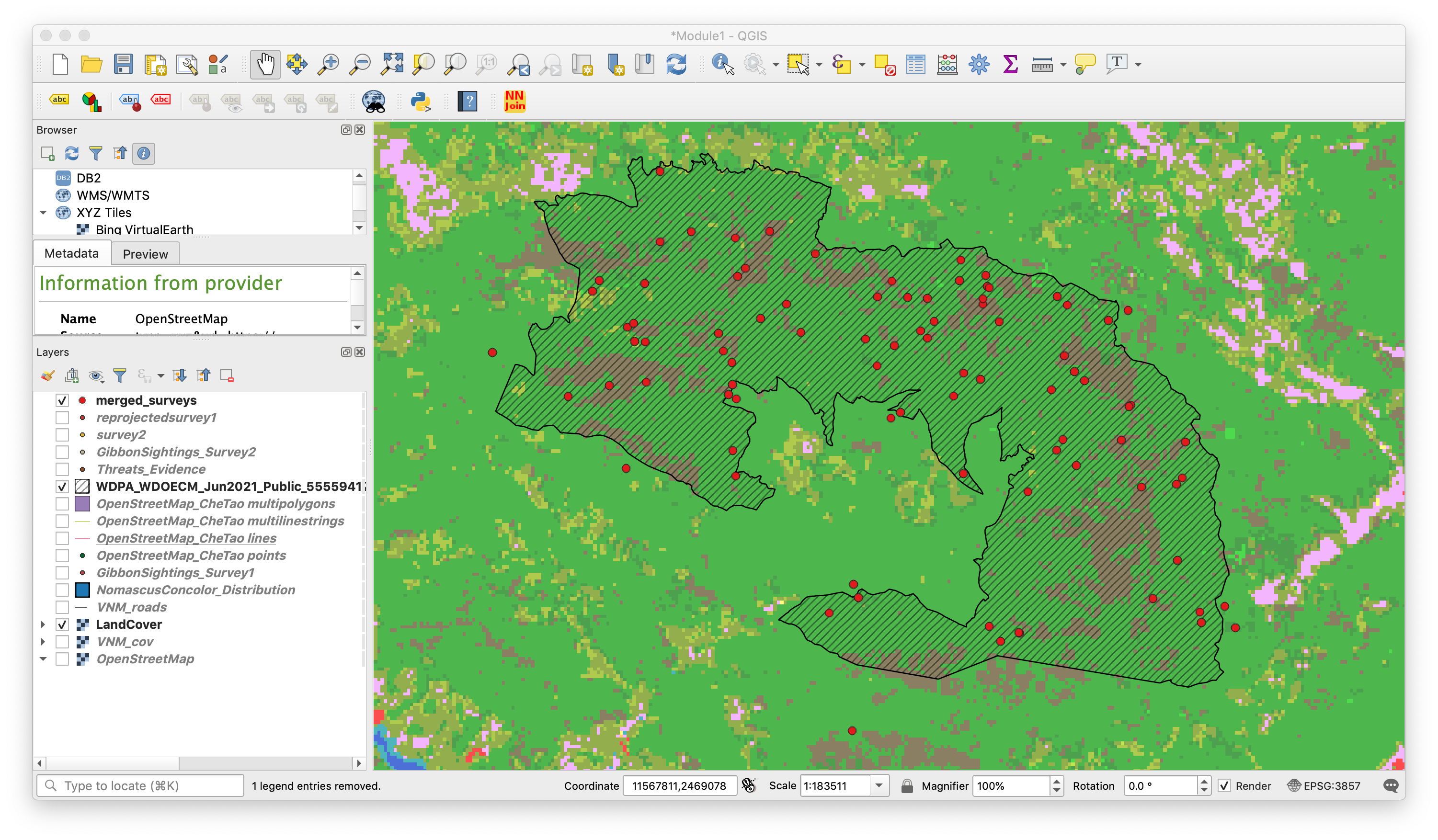
Straightforward module to follow - learned heaps about SRS. I will definitely have to mess around with reprojecting and merging datasets without the step-by-step prompting. I need to clean up my layers tab but I’m afraid to delete anything!
Very visually pleasing map! I am also looking forward to exploring how to transfer my own field data into QGIS.
1 Like
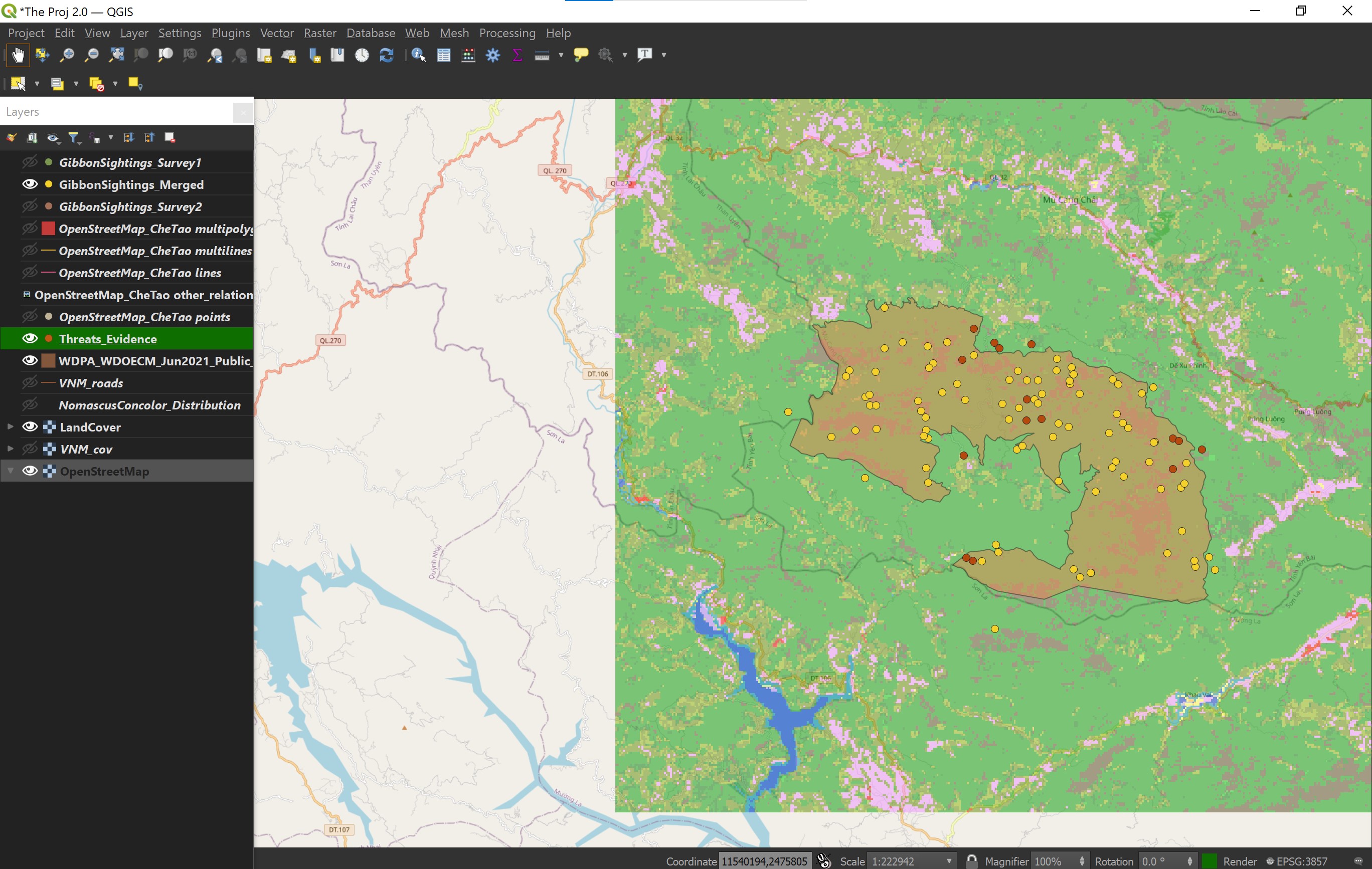
This was a challenging but informative lesson! The struggle I had, in the beginning, was with Threats_Evidence file. It wasn’t made clear what spatial projection it should be. In fact, the EPSG 3410 projection doesn’t work on this file like with the other files. It had to be in the EPSG:4326 projection for it to be on the same map location as the others. I wish it was made more clear/described why so.
hi apuuli, you made it look easy until i tried doing it and it was otherwise. its amazing, great work.
I have been struggling with completing this task as it is very difficult compared to the other two modules. Still not what it is supposed to be like.
I thought this module was very informative, and helped me to visualize the different types of CRS and how they might be distorted. I did have an error merging the surveys together, it told me that the GroupSize field was a string in one file and an integer in the other, so it failed. Because the merge layers tool can reproject at the same time, I just used the two original files and they merged without an issue.
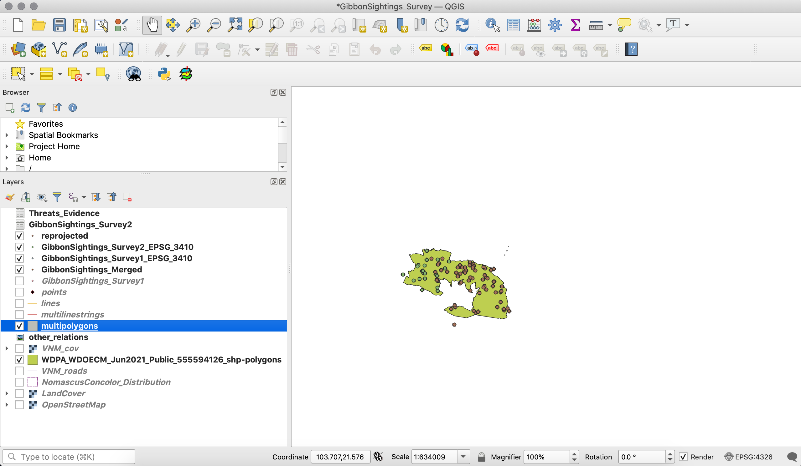
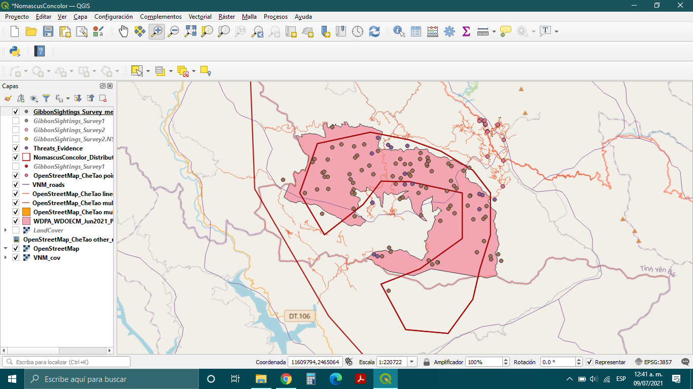
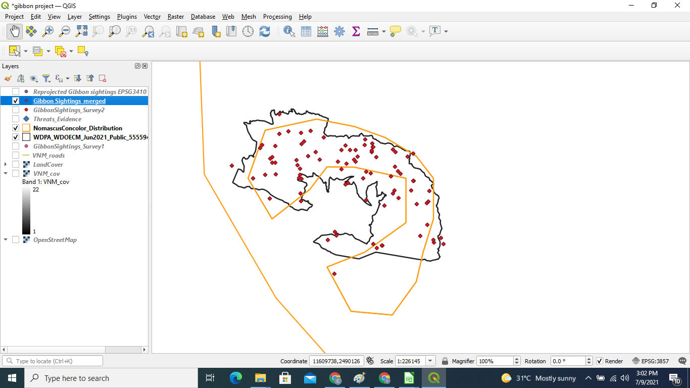
As far as my map here, I have only shown the land cover, reserve boundary, and the merged survey data as there is quite a bit in my layers panel now!
I also had some errors trying to merge the survey files, and what ended up working for me was just merging the original files.
I like the gradient color you have chosen for the reserve boundary, and the white outline around your points makes them very easy to see!
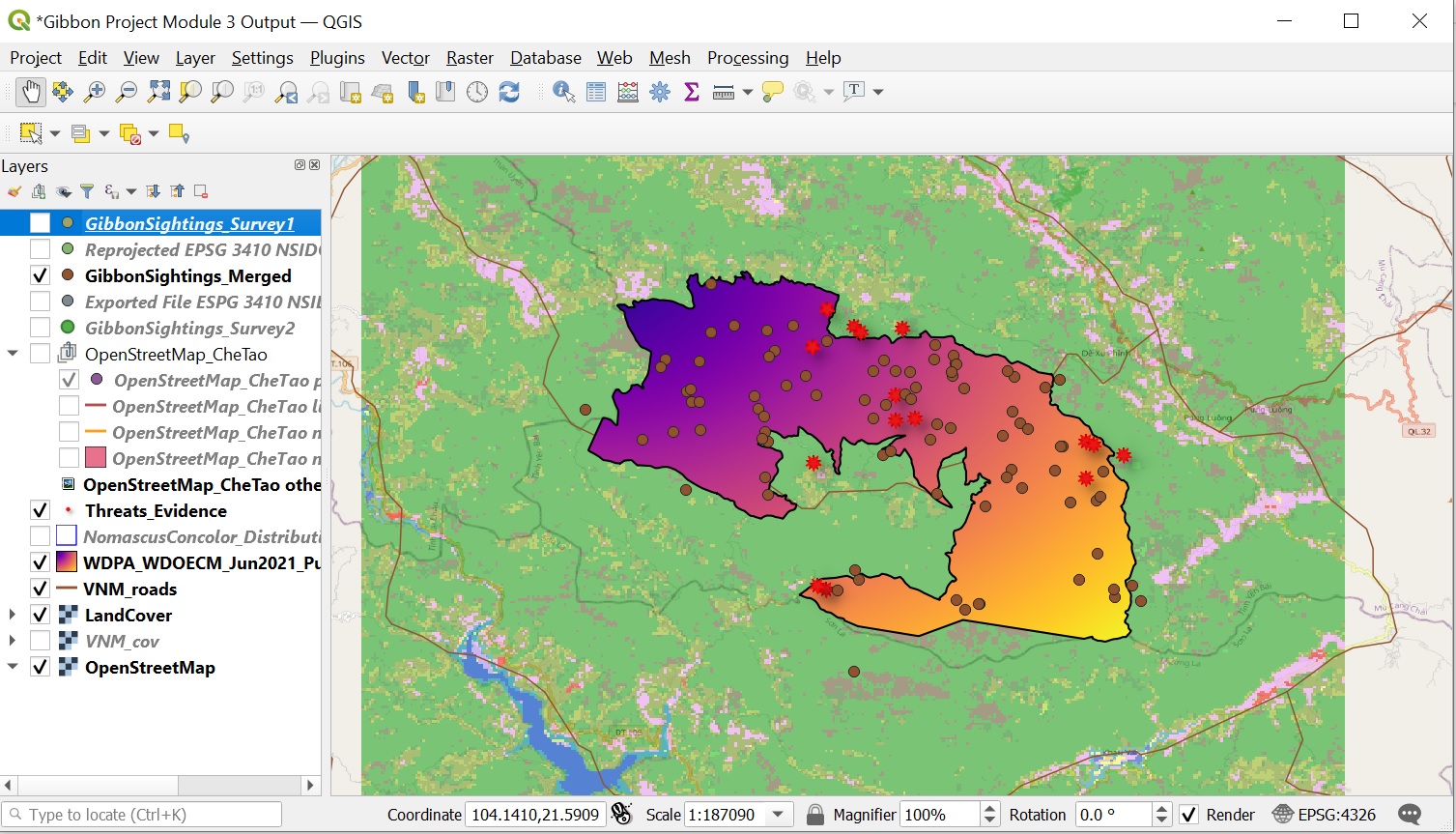
This is my output from module 3. Activities in Module 3 is clear. It was helpful in clarifying different datasets since different layers may use different, coordinates, Map Projections and datums.
i do not encountered problems because there was a screenshot guide in how to accomplished the activity. The merging activity is very useful especially if we do collaborative studies, and somehow data are different. Again, as i go through each module, it is very engaging and worth working for me as I look through my progress.
This is true, module 3 is quiet complex, however, the module showed screenshots of each activity compared to module 2 which is more easier to follow. For me, i often tried at least two-three times so that i can trace what might be wrong.
1 Like
Yes @halk, we need to do and redo to practice the activities.
In this module, in a general way, I was able to know the CRS, an important part in the geospatial data model, especially in the attempt to represent reality (every object has a point in space), the limitations of the use of geographic data. coordinates, and the alternative option of cartographic projections (conic, cylindrical or azimuthal), when measurements are required, the importance of the datum and the use of it in the layers to be combined with the option of merging in a single file.
Referring to the QGIS project, the instructions to perform the merge were confusing because I couldn’t find the rendering option.
Excellent feedback @JonathanGatward! With this, the CRS´s applications became clearer. Thanks.
Hi Victor, I cant seem to save the Gibbon survey 2 data as .geojson. I am getting an error message. Please what am I doing wrong kindly assist.
Lovely maps you’ve got there. I was unable to have such different colours. After I merged, they all became the same colour. Kindly talk me through your process… Thanks.
1 Like
Hi @Zaynabou, as for me I did not change the file to .geojson but remain it as csv. file into the software
However, happy to help! As you asked I went and do some findings and as well as learning on how to convert csv. file to geojson.
- right-click on your GibbonSighting _Survey 2 csv file > Export > Save features as…
- you may select geojson. file at the format section > file name : gibbonsightin_survey 2 > Click OK
Hence, your geojson file of gibbon survey 2 will be automatically shown in your Layer Panel and a copy into your laptop
You may also refer to this youtube link guide on Importing CSV (Excel) Coordinates
 Coordinates into QGIS")
Starting from 4:18
Hope this helps! ![]()
![]()
3 Likes
I found this module to be the most challenging so far, mainly because I kept making small mistakes, I kept forgetting to change the format to GEOJSON when saving the files. Learning about CRS/SRS and how they can effect the dataset was especially helpful. Up to this point I have been familiar with the work being done so I am excited to see what we will cover in module 4.
If anyone notices any errors I may have made, please let me know.
Hi @Victor thanks for mentioning wile saving the file to change the the file to GEOJSON in the format section, it was the one detail I kept overlooking.
1 Like