awesome selection of color
I found this module more challenging than the last two. I found it very useful to learn how import different data formats and how to merge layers. Learning the terminology and different types of location information will be beneficial when using my own data in future.
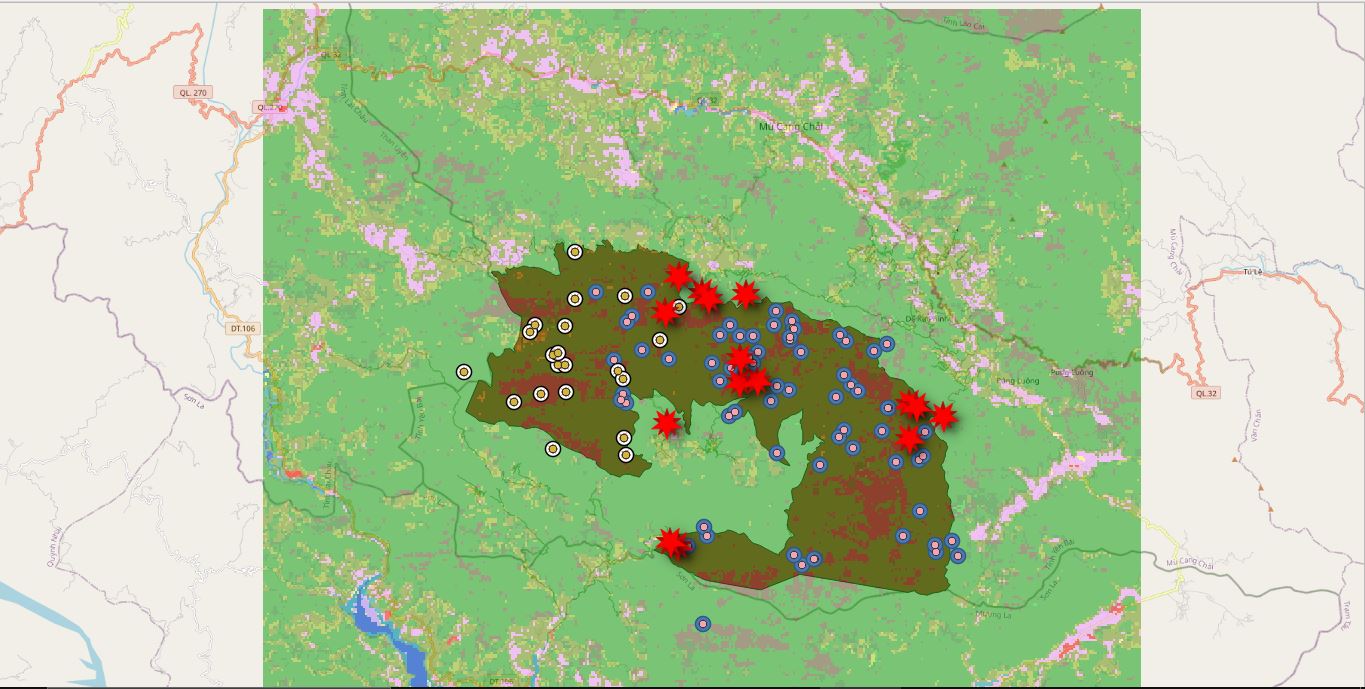
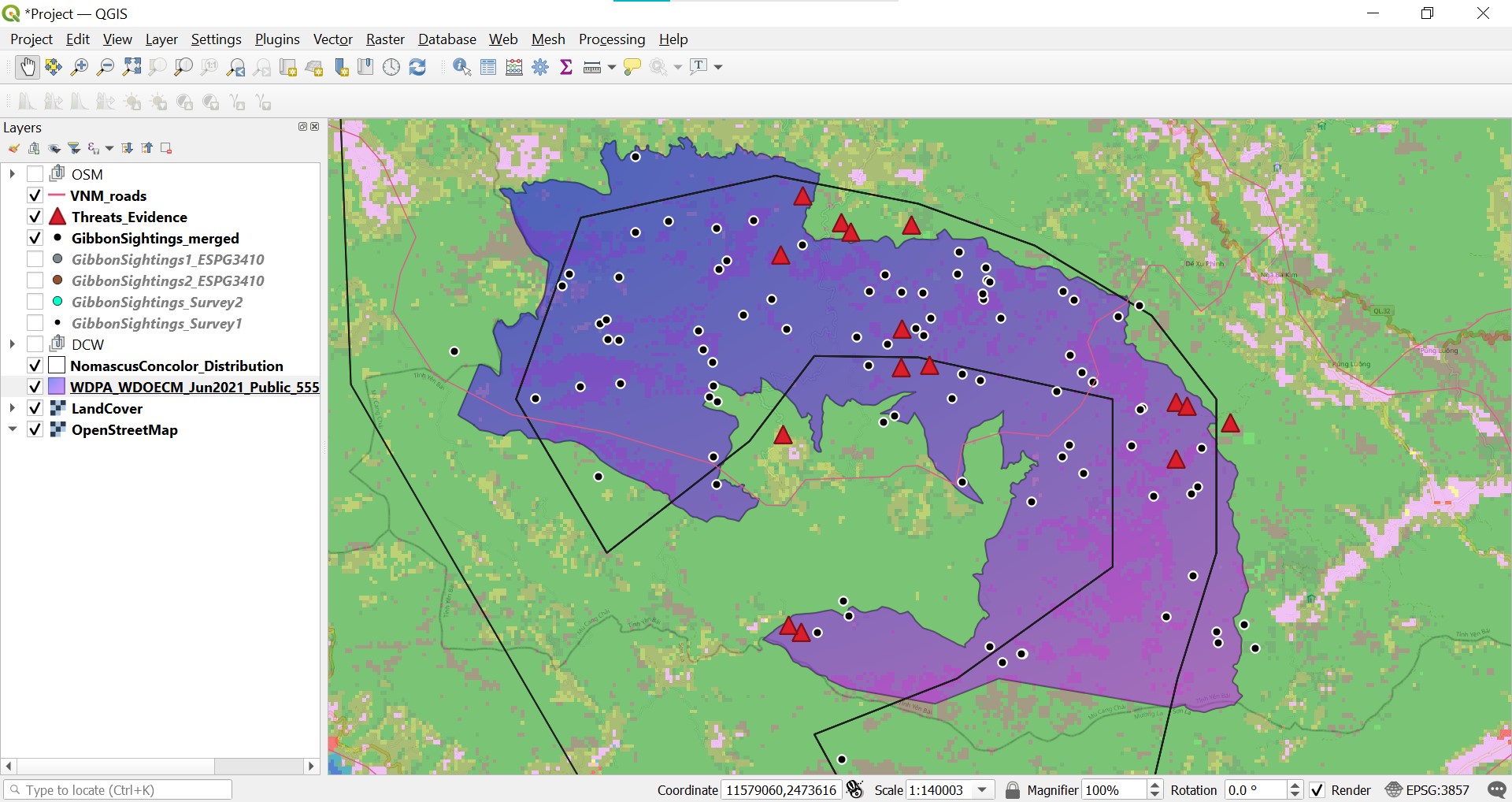
I really like the way you have represented the roads on your map.
This assignment is really challenging.
To arrange the layers is one of my biggest challenge.
To symbolize respective layers in SRS is becoming more difficult for me.
Though, this is how far l can go for for this module and I’m still hoping to learn more features and the use QGIS tools.
I manage to arrive at this.
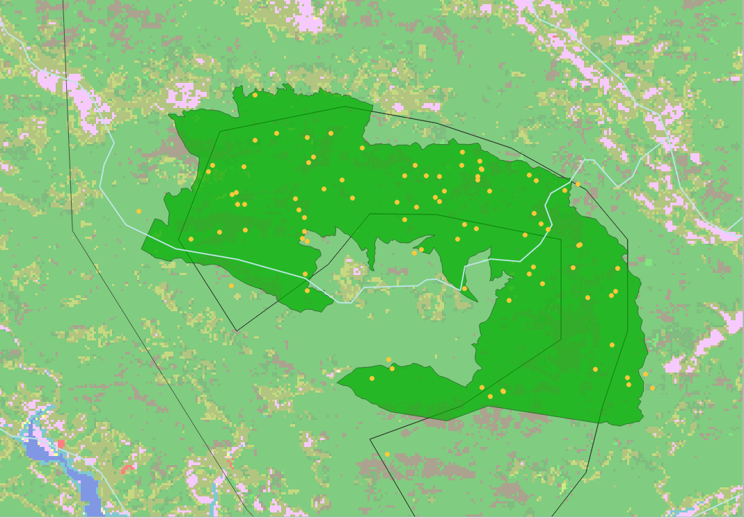
hello! I find your work really cute because of the colors really compliment to each other! but the thing is i hope you make it clear in order for the data to be easily distinguish. Keep it up you did great!
Your map looks great. Clear representation of the map from the different colours which lets the data show well!
1 Like
hey, I like the scale and color you’ve chosen for your map. It looks amazing 
How did you insert google satelite layer?
I tried my level best to cope with the instruction to reach here.but it was little bit confusing me.especially how to merge the files.
I look foward to be familar with my own field data
The third module was not easy, I had many difficulties with data in SRS and I still have some doubts
1 Like
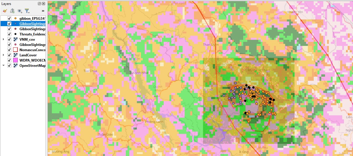
This module was very challenging, however, it was also informative. I have learned more about SPS and CRS, and how to do map projections, reprojection and merge.
Thank you for the help. I will try fixing the error.
Hi Emmamay
Thanks for the advise. I have actual tried play around with the layers and am seeing it is making some sense.
1 Like
I am trying to digest and understand as much as I can. The next is to identify type of datum of the coordinates collected in the past, and also consult peers who have more experience in this.
Though i could follow the steps well and nearly completed the module(there is a problem in the last step i still need to grasp the concept well
A really insightful module looking into CRS/SRS. I didn’t know that there were so many of them. I’ll definitely take note of the type of SRS/datum that were used in data collection in the future. I always thought that QGIS would automatically convert the SRS of the inserted data to the Project CRS.
Hi Janew
Nice projection of google map in the assignment.
This module was definitely challenging but it got easier the more times I got it wrong. First few mistakes was because I chose the wrong files to merge. But i guess with the trial and error it all became easier.
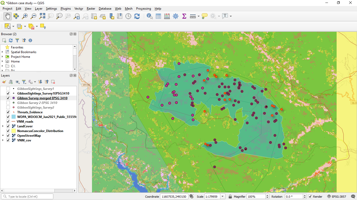
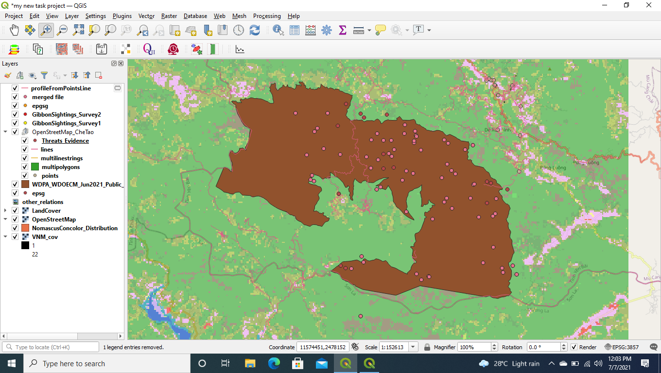
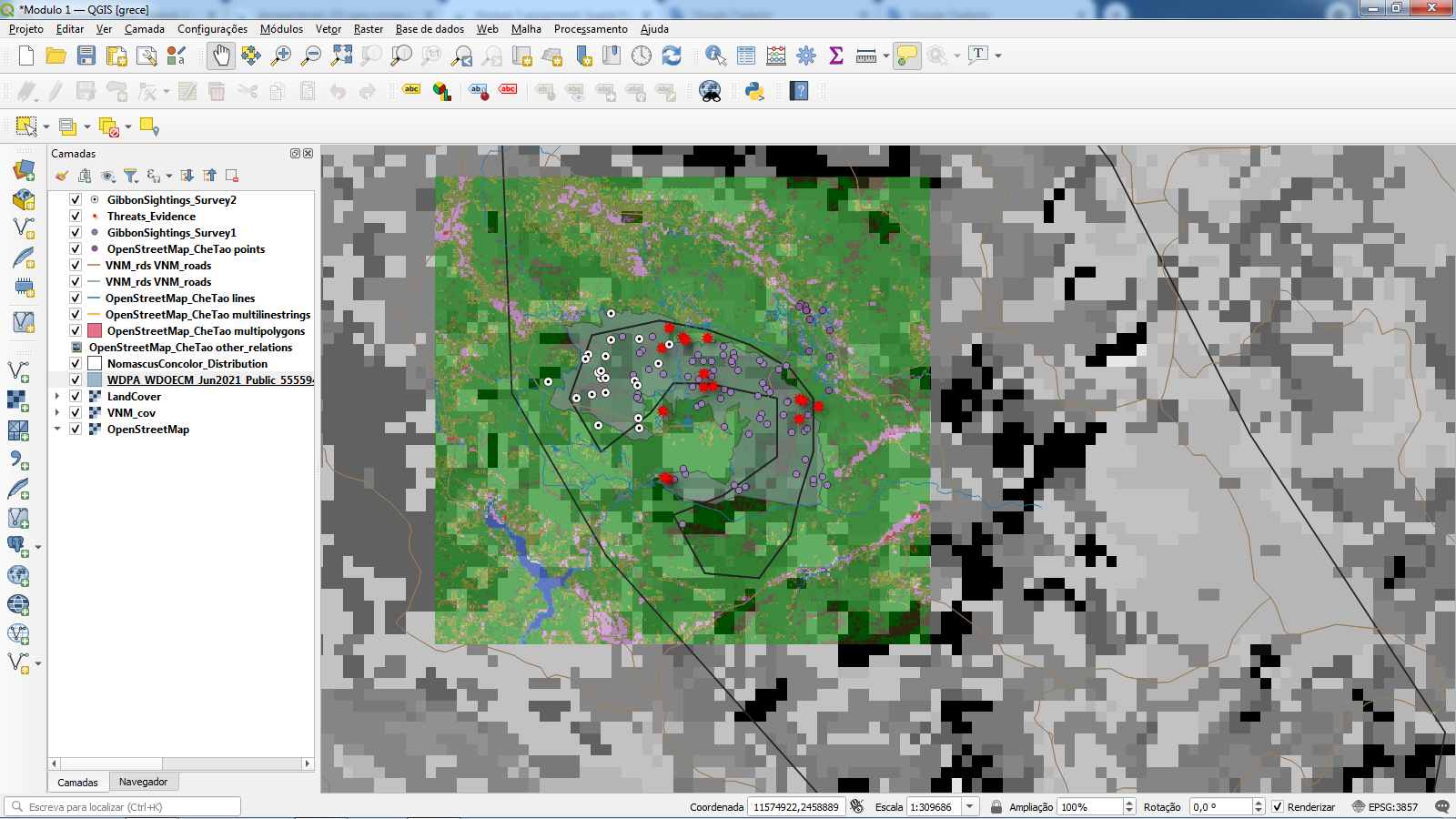
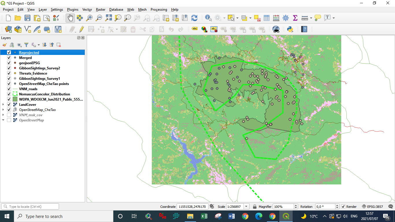
In this module, I learned how to add point locations to QGIS from a text file, set the spatial reference system of a QGIS project, and reproject a layer. The most interesting part was reprojecting a layer. This is very useful when working with data from different locations.
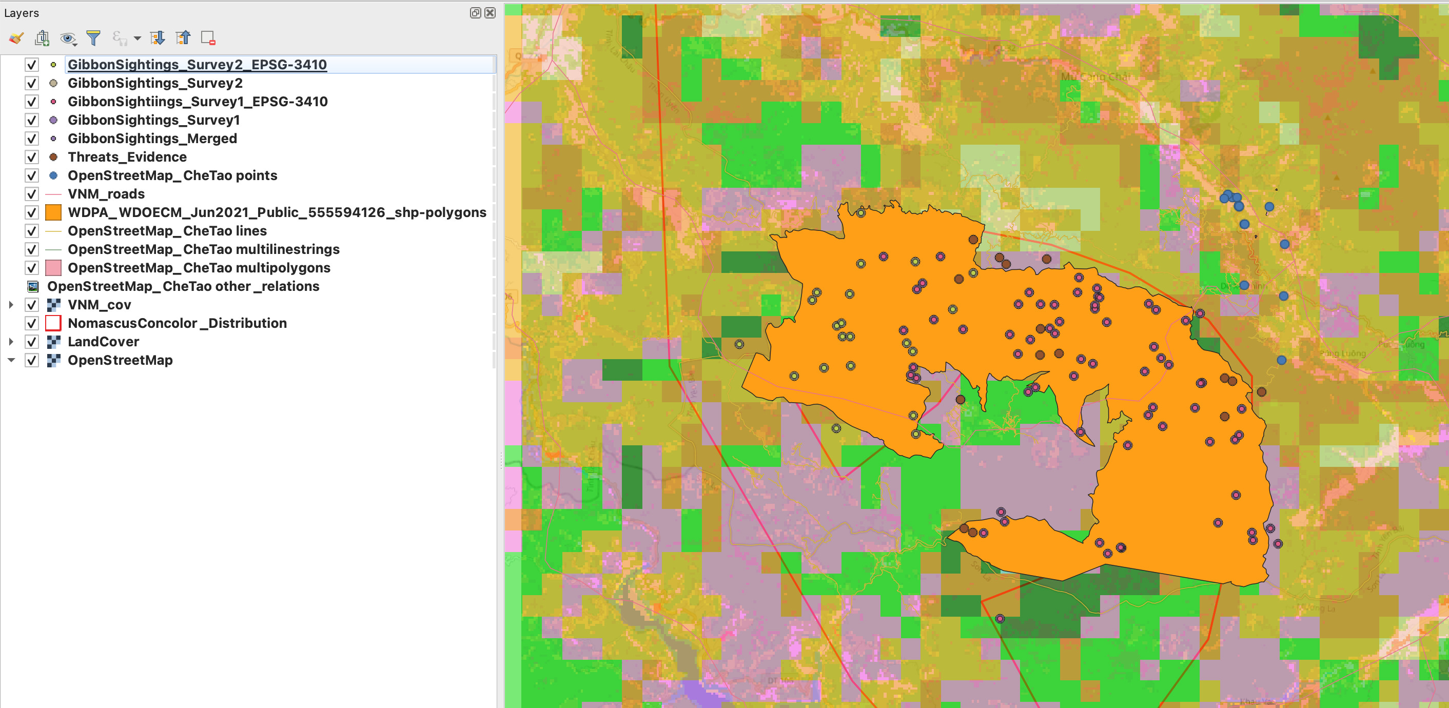
hey man, I think you’re missing some part on your map on module 2. Maybe try that one again? It was tough for me too at first