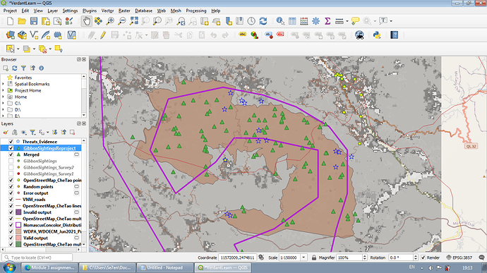
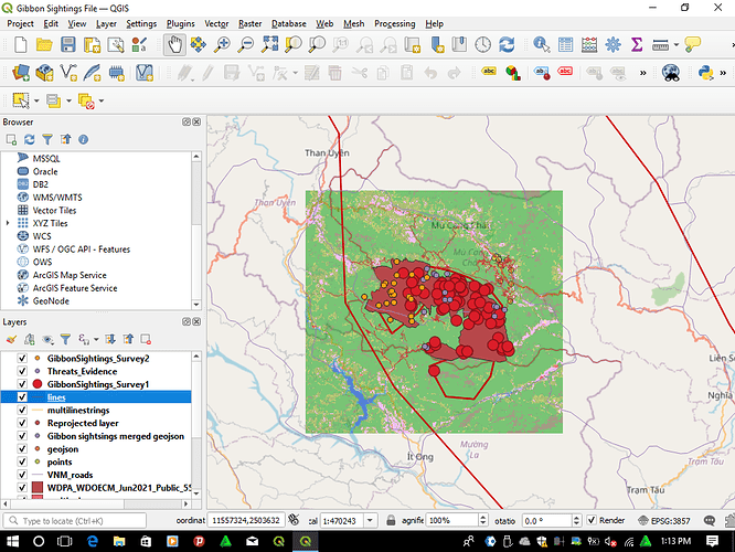
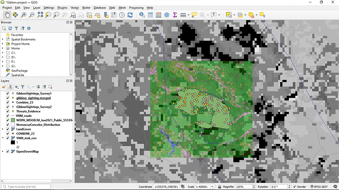
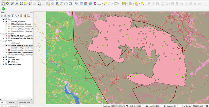
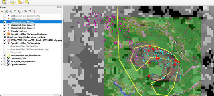
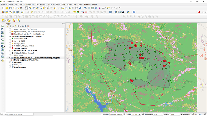
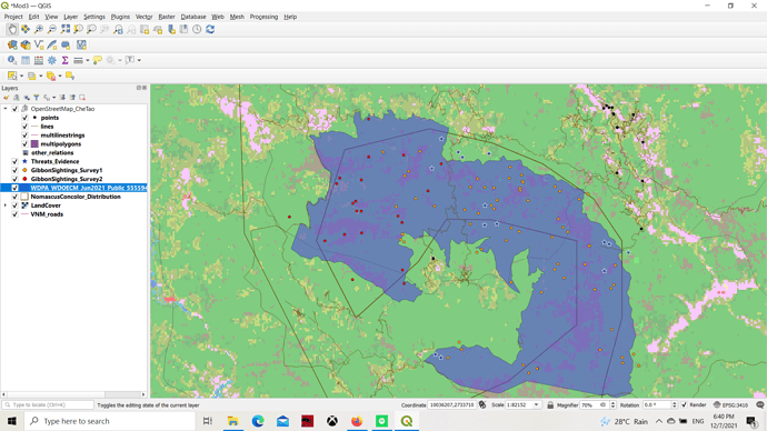
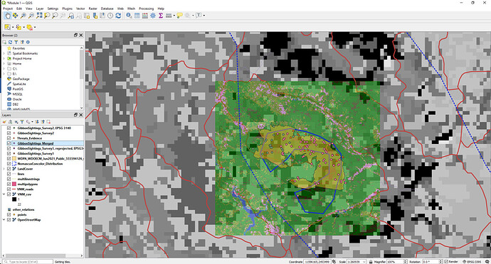
Yeah, this module is great. Clear instruction and I learned more on projecting data. I love how cool the maps produced in this section.
this module turn up to be challenging a bit , as it took me long ,to grasp the concepts of changing CRS and SRS. I still feel like i need more practice , to perfect my skills on this module .
Regards
Eliah
This module was quite challenging and exciting than the other 2 modules. Overall I came to know about various projection systems, various datum, Spatial reference systems.I was able to clear many concepts regarding this as it was not new for me but i was very confused before this module helped me to get over it.
Hi @Diana I found your map amazing. It is neat and clear and the mixture of colour adds beauty to your map
Thanks tamara . For your comment.i will check it again
This module gave me great insights that helped me understand the SRS and how to use them. I found particularly interesting how the map projections are created and the role they play. I also enjoyed learning how to merge layers and how to reproject a layer into another SRS. It was more challenging than the previous modules, but also I think it set the foundation I was missing and now I feel more confident when handling geospatial data.
Hi! I really like your map, specially how you use the setting to shade the area of the reserve. I think it helps everything look clear and it’s easy to read. I also like how you selected just a few layers at once, I will apply this on my future work.
Thanks very much for that. Your map looks great. It is much better with the proper reserve outline, but I just couldn’t download that one. There was a lot of content in this module, and it was certainly very interesting.
My map looks different because I started each module on a new page. This module was interesting. Learning about different SRS, I hope to do more studies on this. Thank you for this opportunity to learn.
- Assignment completed:
-
I’m really glad about what I have learned from this course. One of the things I appreciate from the last module was the theoretical concepts about geospatial data, I think this knowledge is basic to any GIS beginner.
-
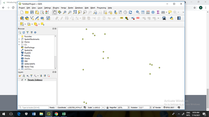
I had problems with SRS selection because the instructions said the files were needed to be saved as format “.geojson” and every time I did that, the resulting wasn’t on the SRS needed (EPGS:3410). @Scr21 had the same problem, and she figured it out and help me with this too. It’s necessary to select the file format “.gpkg” not “.geojson”.
I attached to this post the resulting problem I was having saving the files with the “.geojson” format.
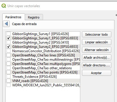
Nice Work @Scr21 !!! and thanks for your feedback it helped me a lot!!! 
This module was very interesting because I finally understood the differences between coordinates and how they can be used and adapted for representing geographic information in the best way for different purposes. I also learn how to combine two layers from differents sources and parameters in one layer with a different parameter for a better display of the information.
Thank you for the information about the problem! I had the same problem, so I change the format of the files as you said, and It works!
Great module! This is the topic that I was looking forward to since the beginning. The module helped me further understand the terms, theories and how CRS came about. Certainly answered my doubts on previous attempts when self-teaching myself about the functions of QGIS in relevance to the project I’m currently working on. Personally, the most challenging part when working with mapping works on GIS but I can now continue working on GIS with a tad bit of confidence. Thank you Lucy for creating a great group learning space.
Love the choice of colours and how you presented the different points clearly!
HI! I had a slight bump during the process of saving the merged file as well but I made a mistake not checking on the format cause I saved it to csv. After I redid the process though all was well. Yes, the format should be .gkpg~
I have always struggled with SRS and reprojecting so I found this very helpful. I liked how well explained and broken down the process of combining the two data sets was
Looks great, and I fully agree with you about how well this course lays the baseline to build on 
This looks fab  I agree with you on how great this course is for building confidence
This looks great and I like how you chose colors that make everything visible. This helped understand various differences between CRS as I previously never got it.
