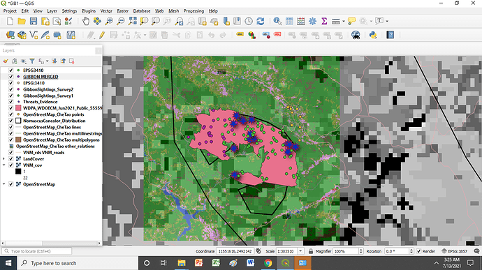
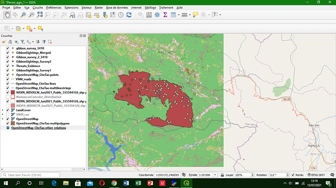
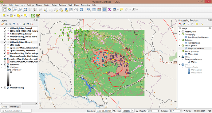
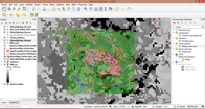
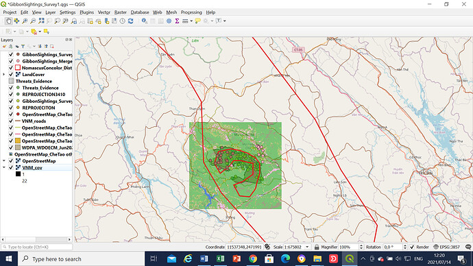
I made a huge mistake of replying module 3 on module 2. But please follow this link.
The instructions of this module were very clear, however i struggled to put the threats evidence into the map, they appeared on different location as the study map. later fixed it when i realized the CRS was wrong. I am still struggling with understanding the CRS. thank you
Thank you Lynet! Yes hopefully we’ll become experts with practice!
Well presented work and love the way you present your data
I’m progressing well in Qgis project. In this module i had difficulties to access to processing which was absent in my menu. So i went to Extensions and i installed the processing to continous my work. Now i’m capable to import my own spreadsheet in Qgis
hi Becca_Y
Good job. I propose to improve your screenshot to make it more visible. Also, if you change the color symbology it would be better because it is difficult to make the difference between the points.
I really tried my best completing this task after 5 hours trying to understand the concepts… I am really learning a lot and it’s hard to choose, but learning about the difference between CRS and SRS stood out for me.
Thank you once again for this wonderful opportunity to learn. 
Very nice and clear map 
Hi Mario if you mean in the theory of this module, no I didn’t, but maybe I can help you to figure them out!
Thank you for sharing the vedio, visuals give a better understanding.
Well done!! Your polygon almost disappears with the dark background, perhaps you can play around with the thickness and colours of your polygon lines as well as moving around different layers.
This module have really opened my eyes regarding spatial reference systems and map reprojections. despite being a challenging module I have learned a lot from it. and one of the major challenges were on reprojections but I managed to achieve that. layer selection order still remains the major challenge but I will achieve
it with time.
Great work!
I can see that your layers are well projected.
Thank you so much. 
Well done, very clear and simple to understand. I like the way you have presenting the landcover layer. It look so natural.
But you could have use other symbols for other layer to differenciate instead of using circle with different size.
However, I agree with you that when one should pay more attention to format of layers when we will have to work on our own database.
Thanks
Hi pang,
I think your project looks really good. Maybe zooming in will help to see the points better.
Keep the hard work!
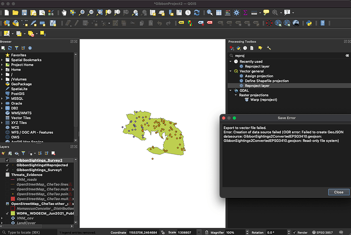
I found this module very useful as it taught us how to import csv data into QGIS and then transform a csv to a geojson within QGIS. I was following until I tried to convert the sightings from the second survey into spatial data format and then I got the error shown on the right hand of my screenshot. I know that my map looks similar to others but I am not sure what this error means and how to fix it, does anybody have any ideas?
Edit: I was able to redo the module and fix the issue (: , see more on my finished product in model 4
Hi there, I have found the same issue so am glad that I came across your photo so that hopefully I can go back and fix mine by changing the CRS. Thanks!
Hi there! I love the colours you have used in your map! Every different aspect is really easy to see, I would just suggest maybe making your points slightly bigger as they are a bit difficult to see and differentiate between (:
