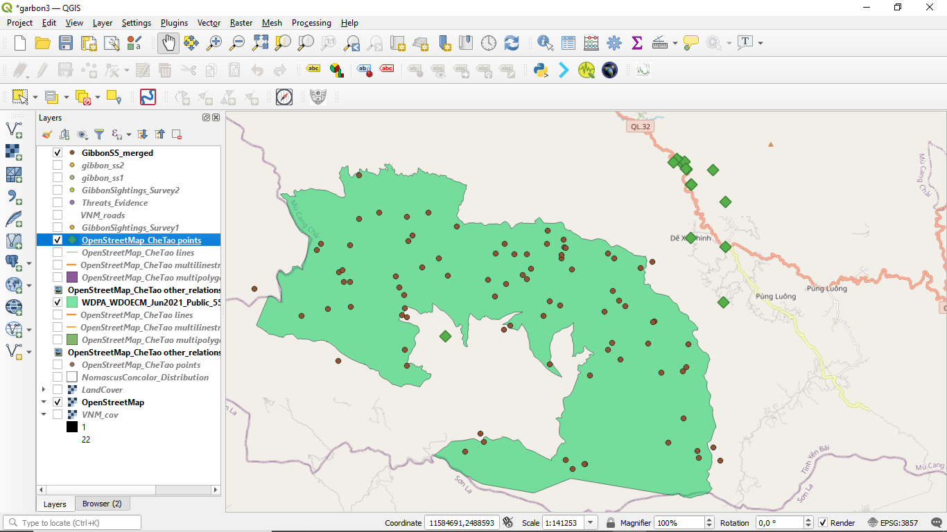
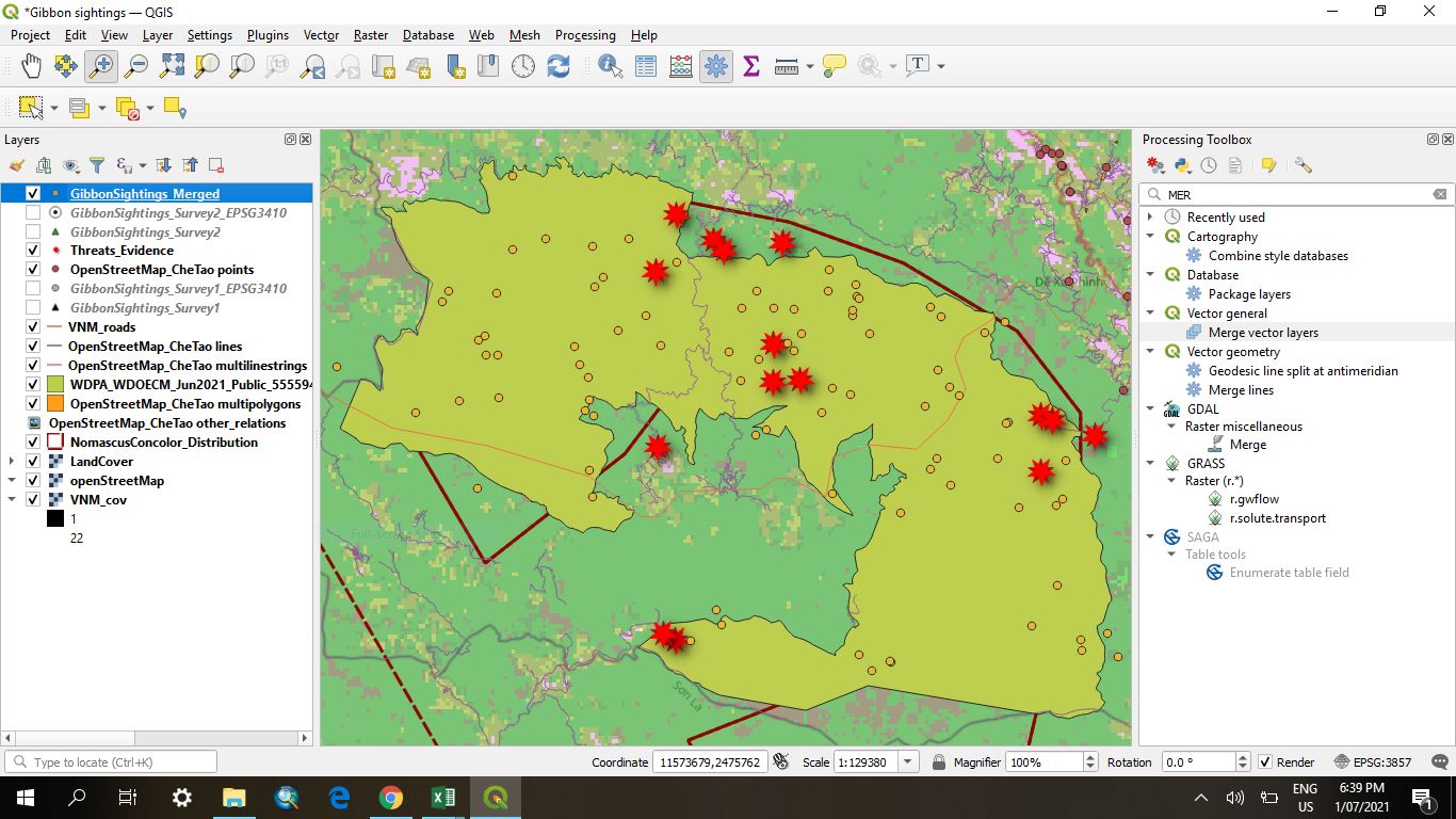
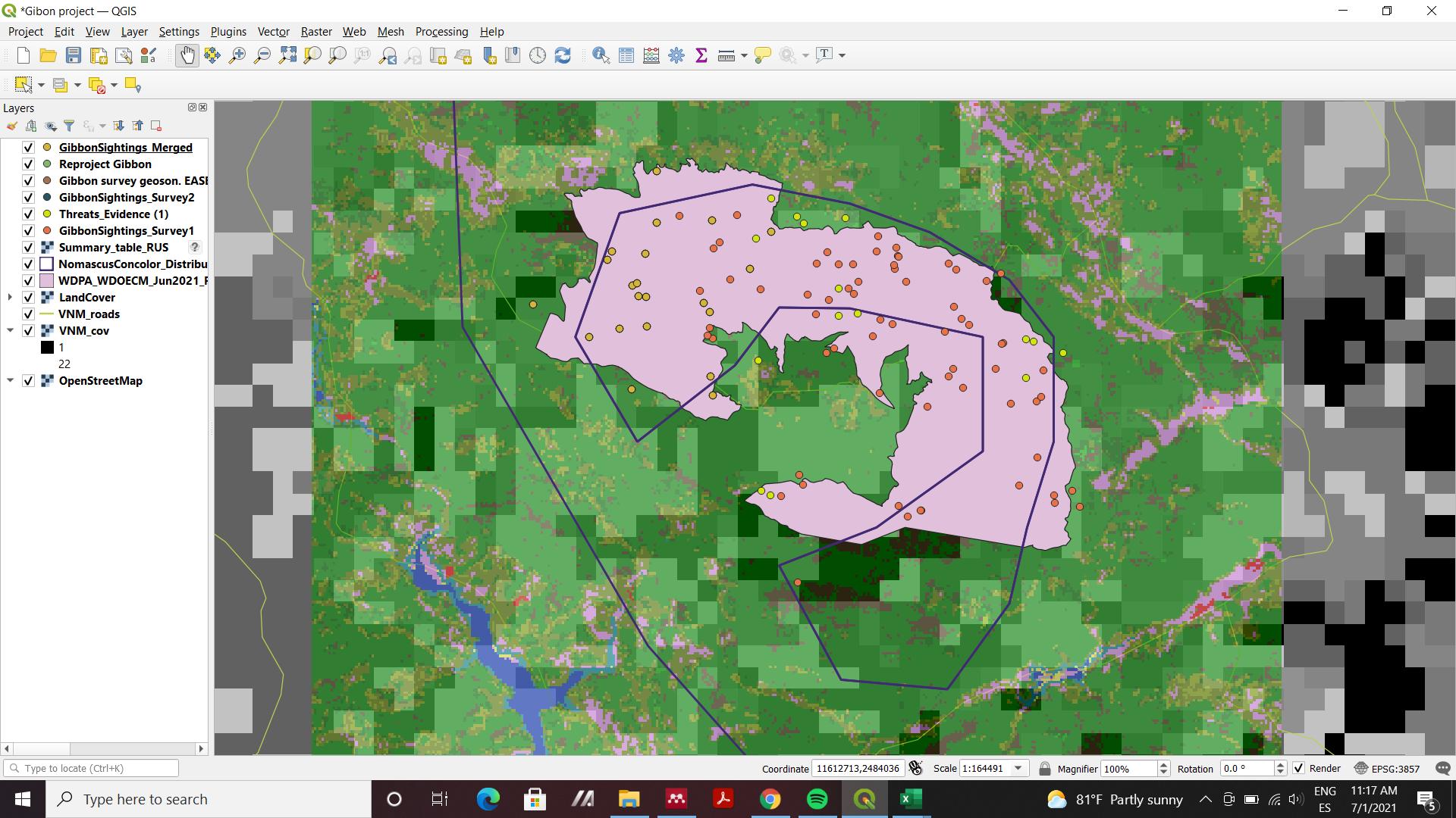
So here’s where I’m at with this QGIS project now. I’ve just kept the merged sightings layer and threats layer on, to make it simpler to view without losing any data. Certainly lots to think about this week in terms of which SRS/CRS and datum to use, how to merge data using different coordinate systems, and what coordinate systems can be used for spatial analysis. All should be helpful and relevant within any future work of my own using GIS.
This week I had a couple of stumbling points which I managed to overcome. When adding the first .csv layer, it didn’t automatically find which columns contained the X and Y coordinates, but it could be selected from a dropdown there. Also, when creating the new layers to merge, one of the files couldn’t be saved as a .geojson layer, only .gpkg was available in the dropdown. Thankfully this didn’t seem to prevent me from merging the two layers into one anyway!
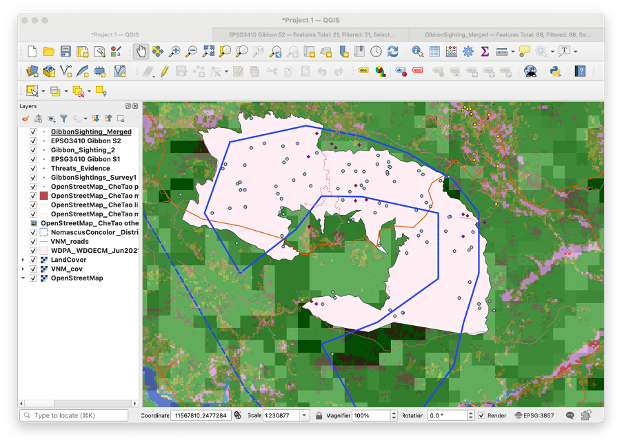
Yes, I agree, changing the colours and symbols of your points in the layers makes it nice and clear. The map is looking good. I notice that your current CRS (bottom right) is set as EPSG:4326 (Lat-Long), not EPSG: 3857 (Pseudo-Mercator). Did you decide to change it back again or did you have difficulty in changing it over?
This was the most challenging and useful module to me so far. I work with sea turtles and we take the coordinates at the beach to created maps and this module will help me a lot on that. The SRS and CRS terminology was a little confused to me but I guess I need more practice. I don’t know if the right points are marked on my map, maybe I did something wrong!!
Thanks, you have also done a nice work, your map looks pretty clear representing each and every layer for this module in a nice way, its just the arrangement of layers that makes the difference and its like we can play with the layers order arrangement till we get it to perfection in our map visualization.
This assignment was very helpful and we were guided all the way through. It is very useful to know how to merge vector layer which I will use in a current project. I have used BNG in the past.
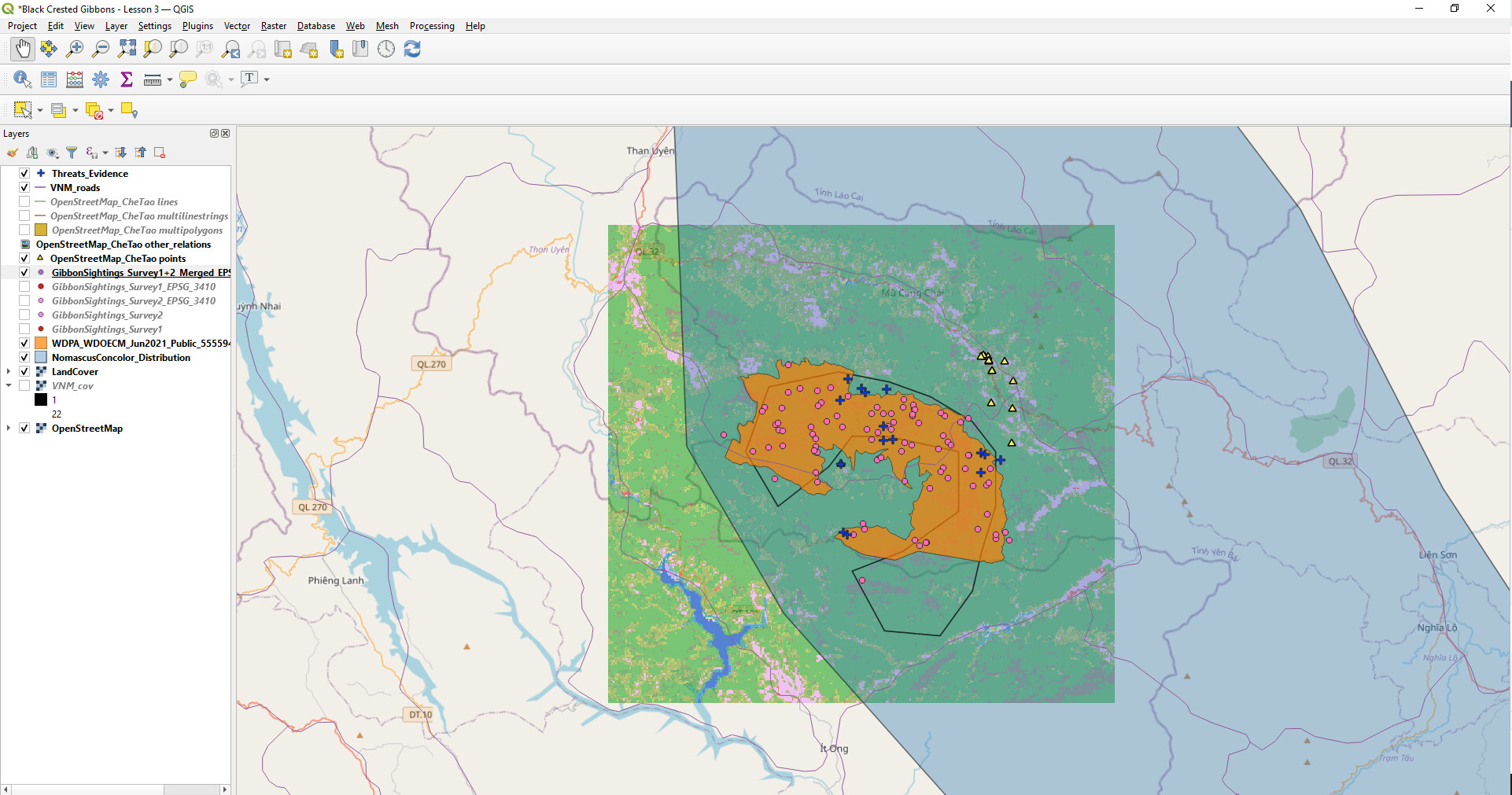
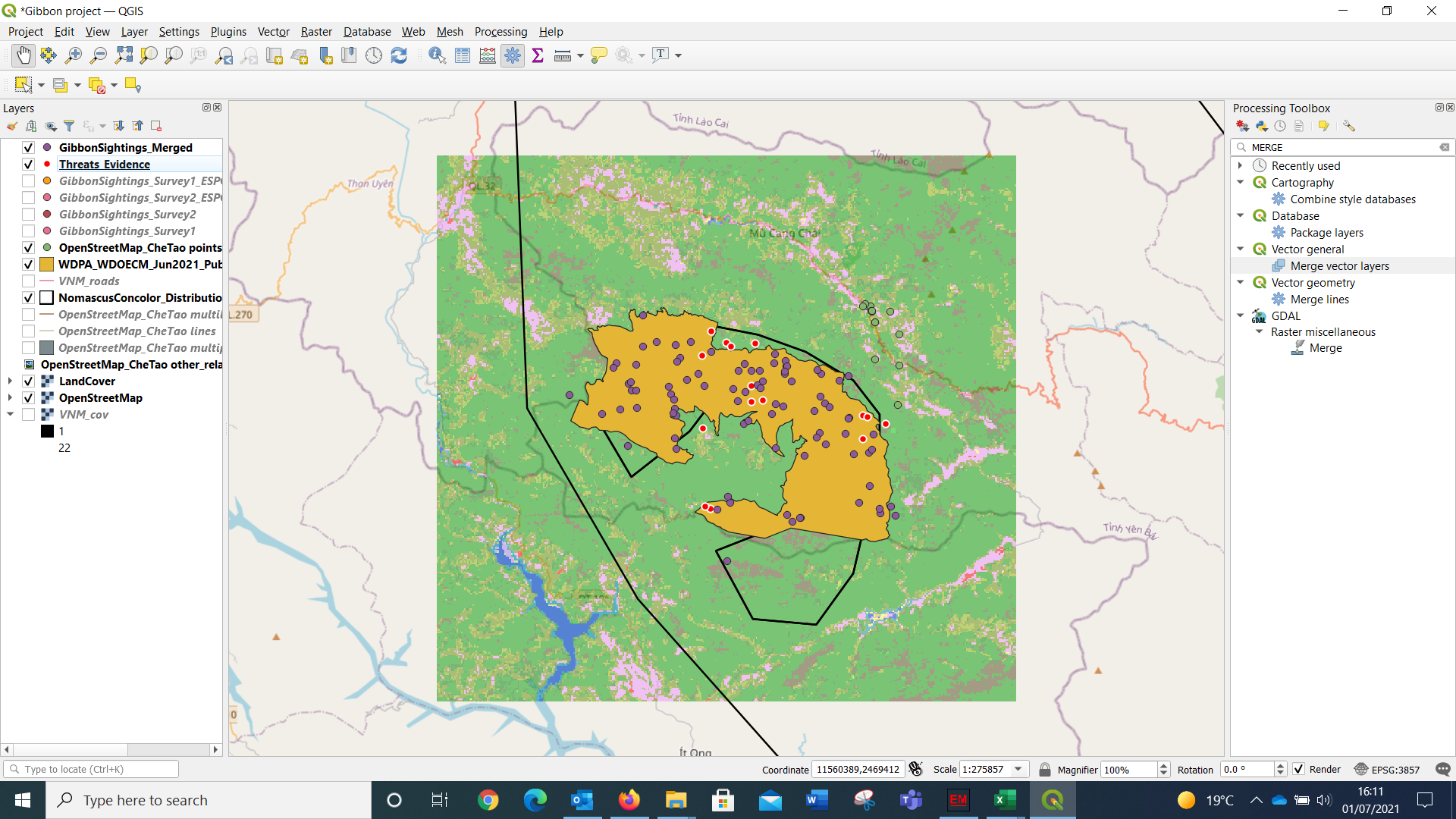
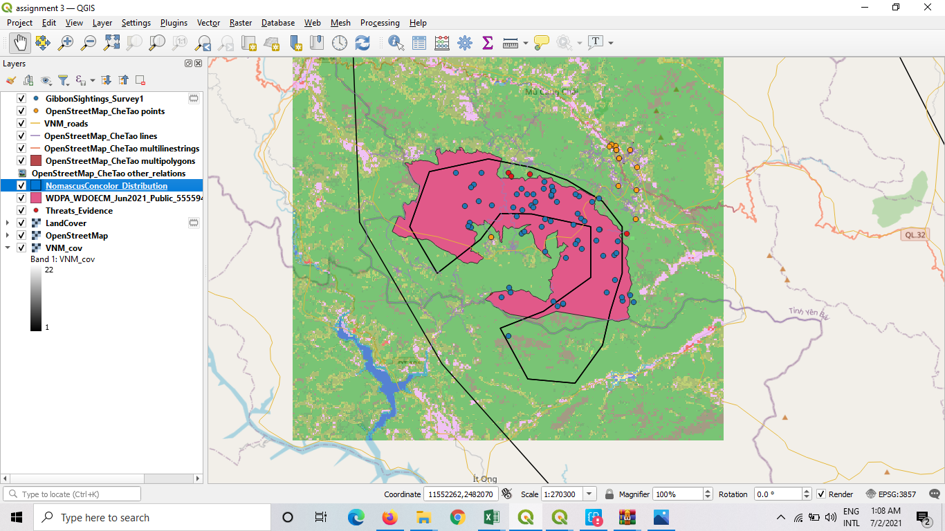
I had to learn how to rearrange the layers using my understanding of the different files and layers. In my assignment two had some challenges adding some layers like Che Tao reserve noticed by one colleague here Scelo, now discovered the easy way of dragging the layers onto the Map. Now also very confident with changing the colours for different layers and size of boundaries. I had an idea about the CRS now my knowledge has been enhanced and now know how to change them. Had any idea on adding coordinate points entered on excell spread sheet have been refreshed.
The use of projection is explained nicely in this module and projecting a layer is fairly easy. I did not encounter any problem while working with projections.
I would like to know more about GeoJson file, what is its advantage over a shapefile?
This module will really help me use different data and combine it into one to fulfill my learning goal. I will be able to collect data using appropriate srs and convert layers from now on. I have also learnt that every projection has some sort of distortion and the type of projection to use depends on the attributes you want to preserve.
I really enjoyed this Section. Theres alot of detail and Ill definitely be needing to save the notes from this section for future use. But this is extremely useful for my future work and the stuff I want to use GIS for. The merging of the layers and datasets will be very useful for me.
This Map looks awesome. Great to see you using your own data, gives me some motivation to get going on my own. Its also great to see that you were able to import a .gpx file. Gives me some thought for my own work as well. Opens up alot more options.
Found this week to be really interesting because its the first time I’ve ever put any thought into how Latitude and Longitude are measured! Fascinating how there are so many different ways of representing the globe as a flat surface, glad I dont have to work out the math for that and can just use it. No problems this week as the instructions were great at taking it step by step, but it did take longer to read and absorb the info.

 top attitude. thanks for sharing