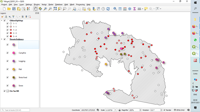
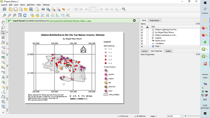
Hi, how do you remove layers from the map?
thank you
I couldn’t really get my map to look like others, had a little trouble with this assignment. My map kept exporting to a new project featuring all my layers, so I determined that I had to uncheck several to match the template shown. I learned roughly how to create a new map.
I had the same problem with the legend, your map looks good though.
Great job. Well done and clearly seen . Keep it up.
Excellent choice in color for your map, it look well put together. My only suggestion is that you put the arrow with the scale bar inside you map to make it easier to determine distance relative to your scale bar. That is just a suggestion if you don’t agree, I think you map still looks great as is.
Thank you, gotta improved this soon
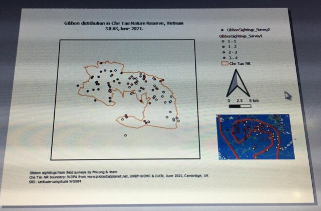
Firstly, I need to apologise for late submission. My system was faulty and I havent been able to fix it. I had to get a friend’s laptop to complete my work.
I must confess, I struggled to to complete this exercise, it wasn’t easy for me to make the map.
wow! this is assignment was challenging. I had to take a break to concentrate better. I
t really worth it.
Great,your map looks good.
Hi @Kevin3, apologies for the late reply. I’m happy you like my map, thank you very much for your comment!
As for the gibbon group sizes, I think it’s worthwhile to try making the map again following the instructions here: Introducing GIS for conservation | Symbolise attributes. Personally I found in more than one occasion that I had to repeat the steps at least twice to get the expected result because maybe the first times I overlooked/skipped some steps in the process without realising it!
Right click to its layer and click Zoom to layer can direct to the right view of map. I just remember it within a few days.
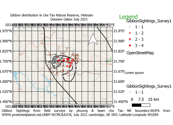
It looks wonderful. I don’t know how to turn the coordinate from horizontal to vertical. For your Gibbon sightings’ legend, you may need to rename your group size of it. One way to do is you can edit it in “item properties”.
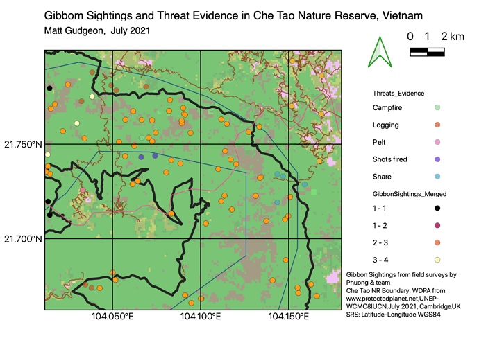
A map of the nature reserve with threats and sightings included.
The western edge of the map has been cut off, I wasn’t sure how to expand the map view once it had been dropped in the print layout window.
Nice detailing on the map.
Thank you, I struggled a little with this assignment
This is my Model four Assignment but the boundary is can not active from my map that said invalid I don’t know how the cause.
For the “Map Element” there are “scale” settings which you can alter as well as being able to adujst the position of the map contents (one of the icons in the Layout window).
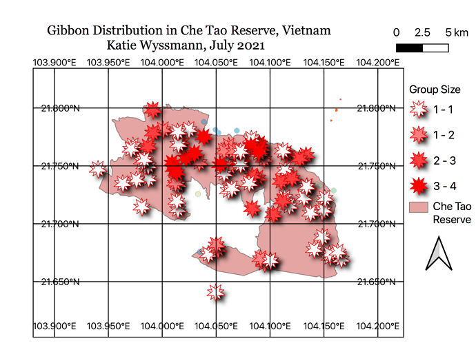
Your map is very clear, well done! I love how you have used different sizes to show group size. It may be useful to show the N coordinate lines
Great looking map. I love that gradient for the NR boundary and the various symbols for the threats. The second map works really well too. Nice work 
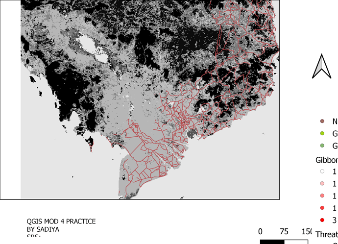
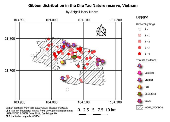
The first two are snapshots of work in progress, and the third is my exported map. I realised that when someone else uploads I get kicked off the system, so I am restarting this. I am extremely challenged for time still, so I didn’t use any other data but did play around with the data in the worked example.
What really frustrates me is that I cannot work out how to make the change to the NR layer name appear in the map legend. I would be grateful for tips on this. Also, I would like to know if one really has to close all other layers to stop them appearing in the legend. If just unticked (not visible) they still appear, but perhaps they can be deleted? Or can we edit the legend text somehow - actually change the text rather than just appearance like the font and alignment?
